September 13, 2021

California, Nevada and Oregon meet about a mile off a dirt road, across a stream and up a hill. There’s a monument there and several geocaches. Need we say more about our motivation?
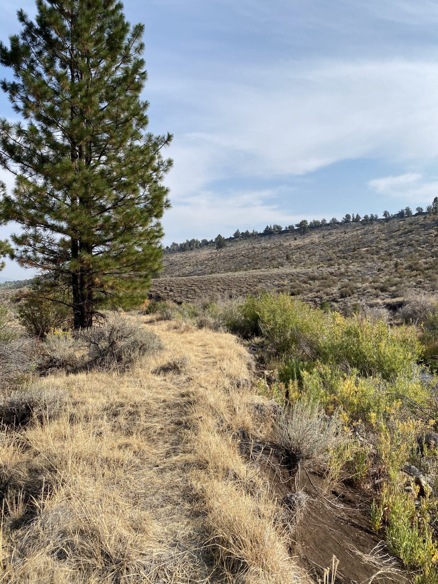
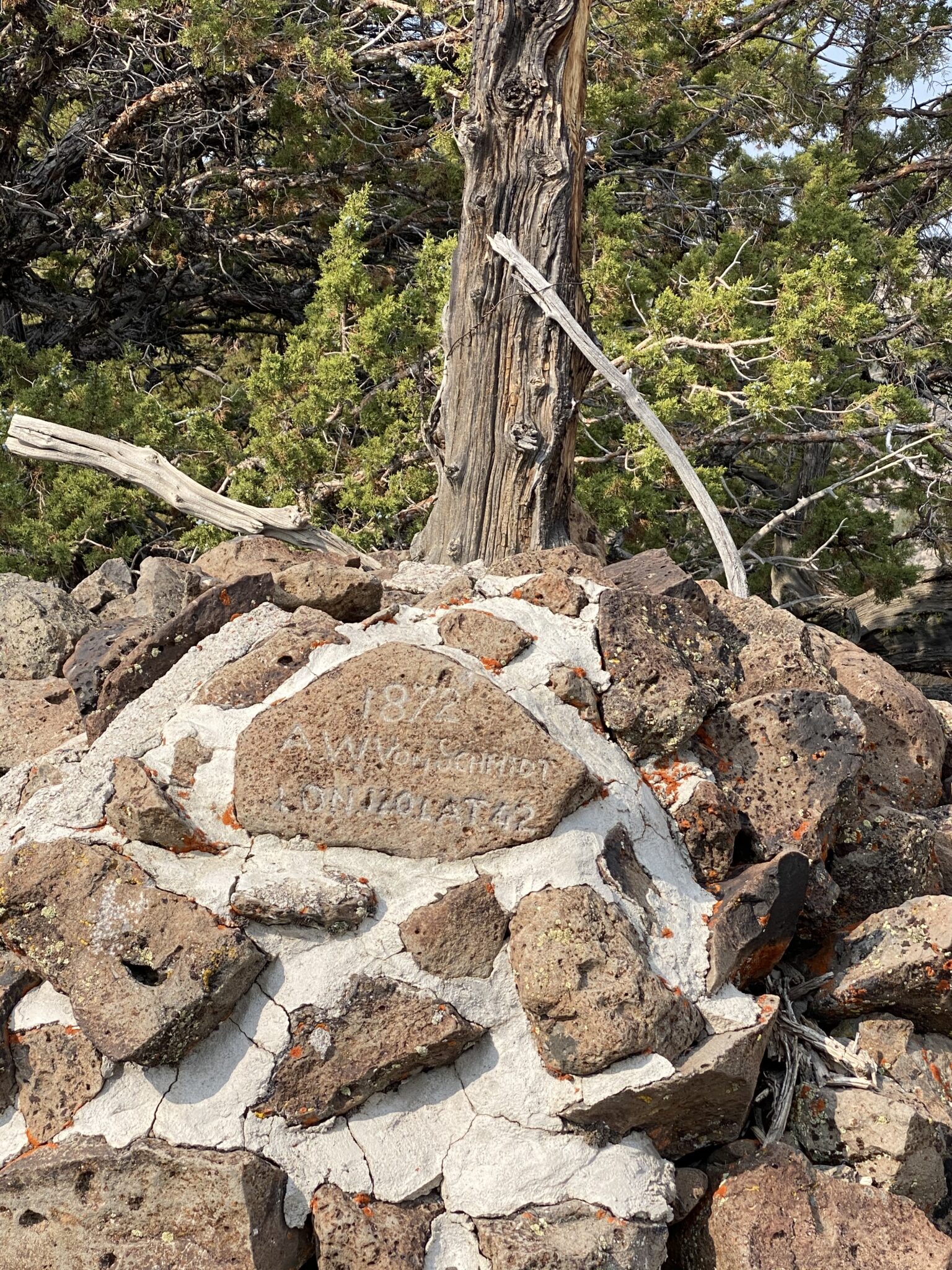
The monument’s at the top of the hill.
The boundary was marked in 1872.
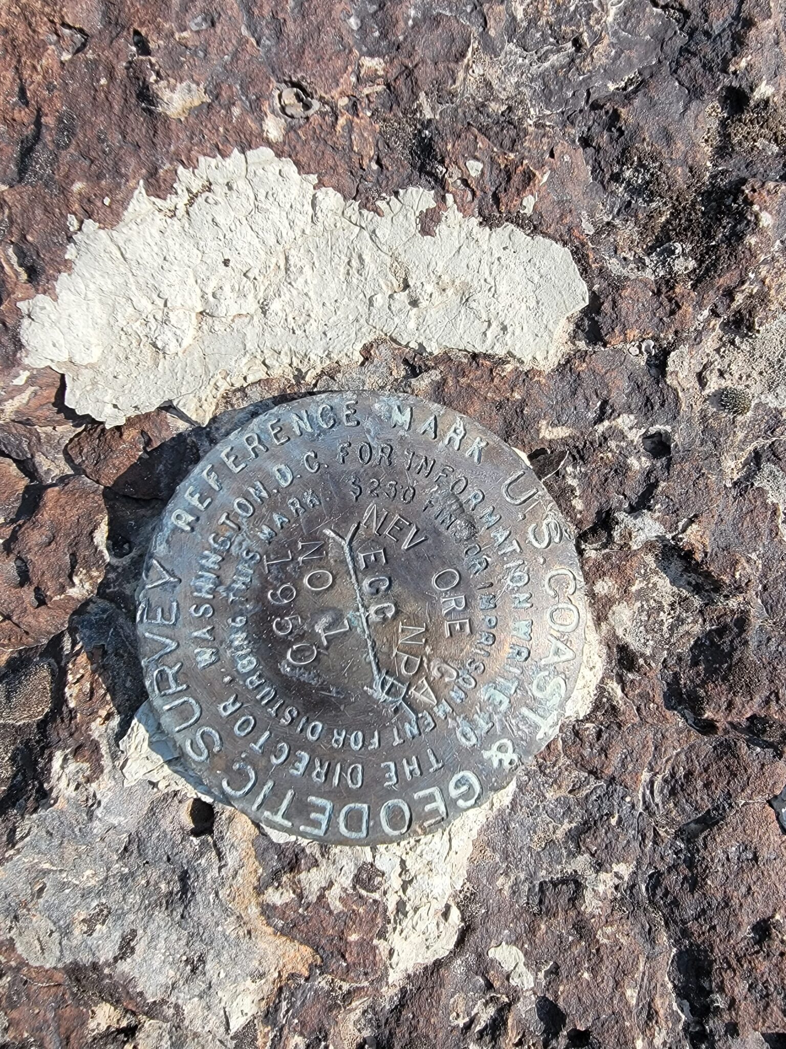
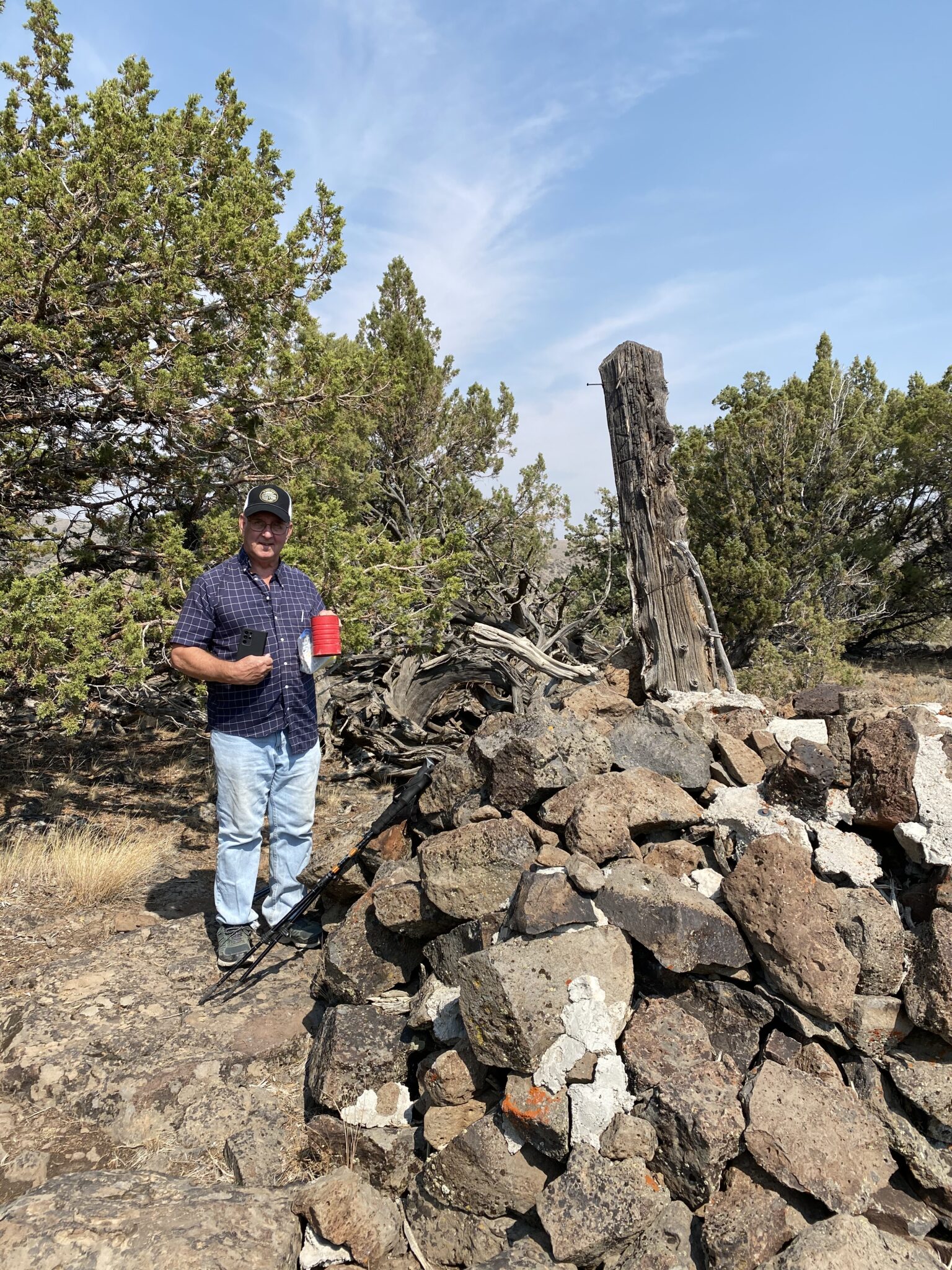
The benchmark where the three states meet
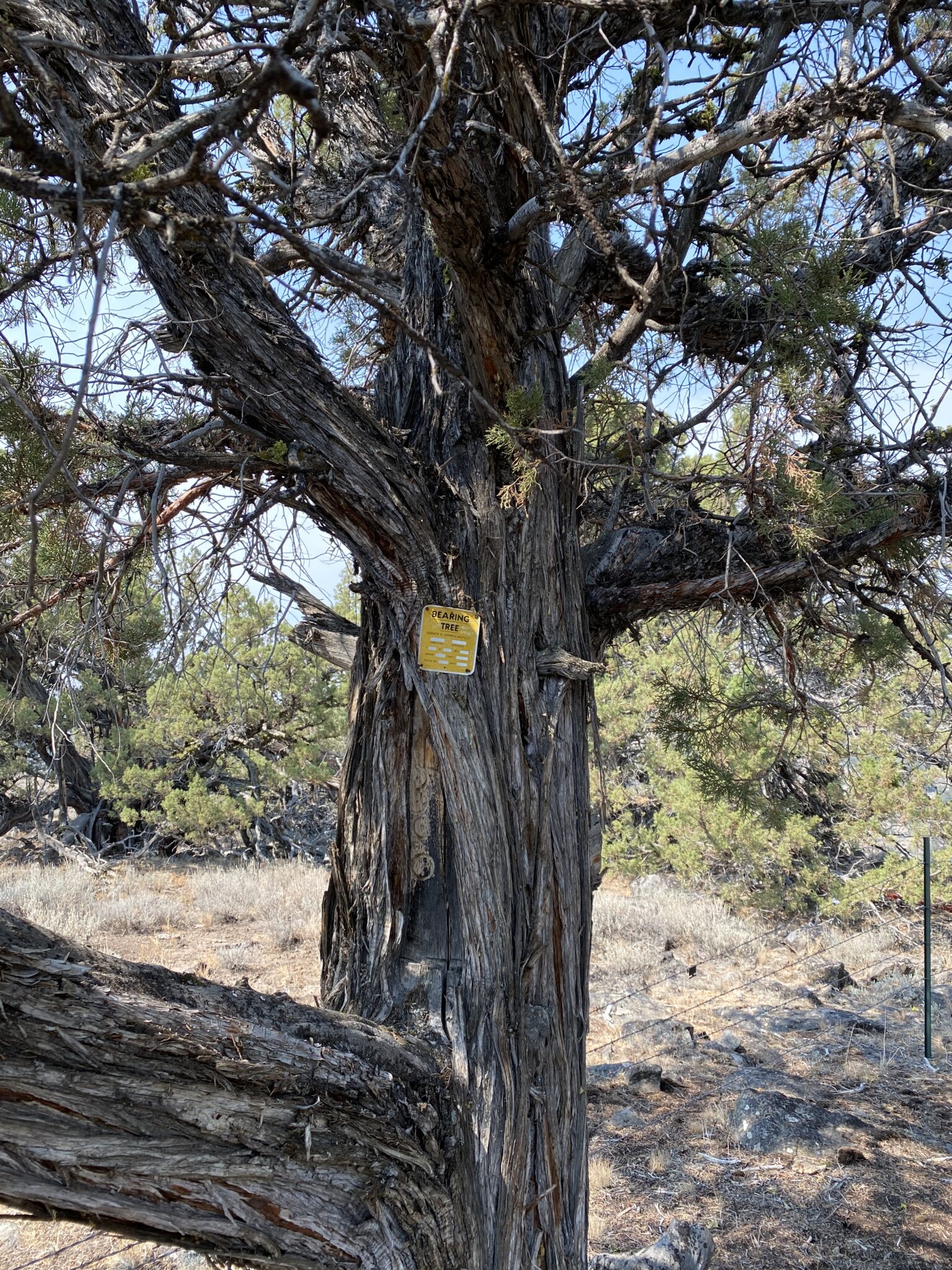
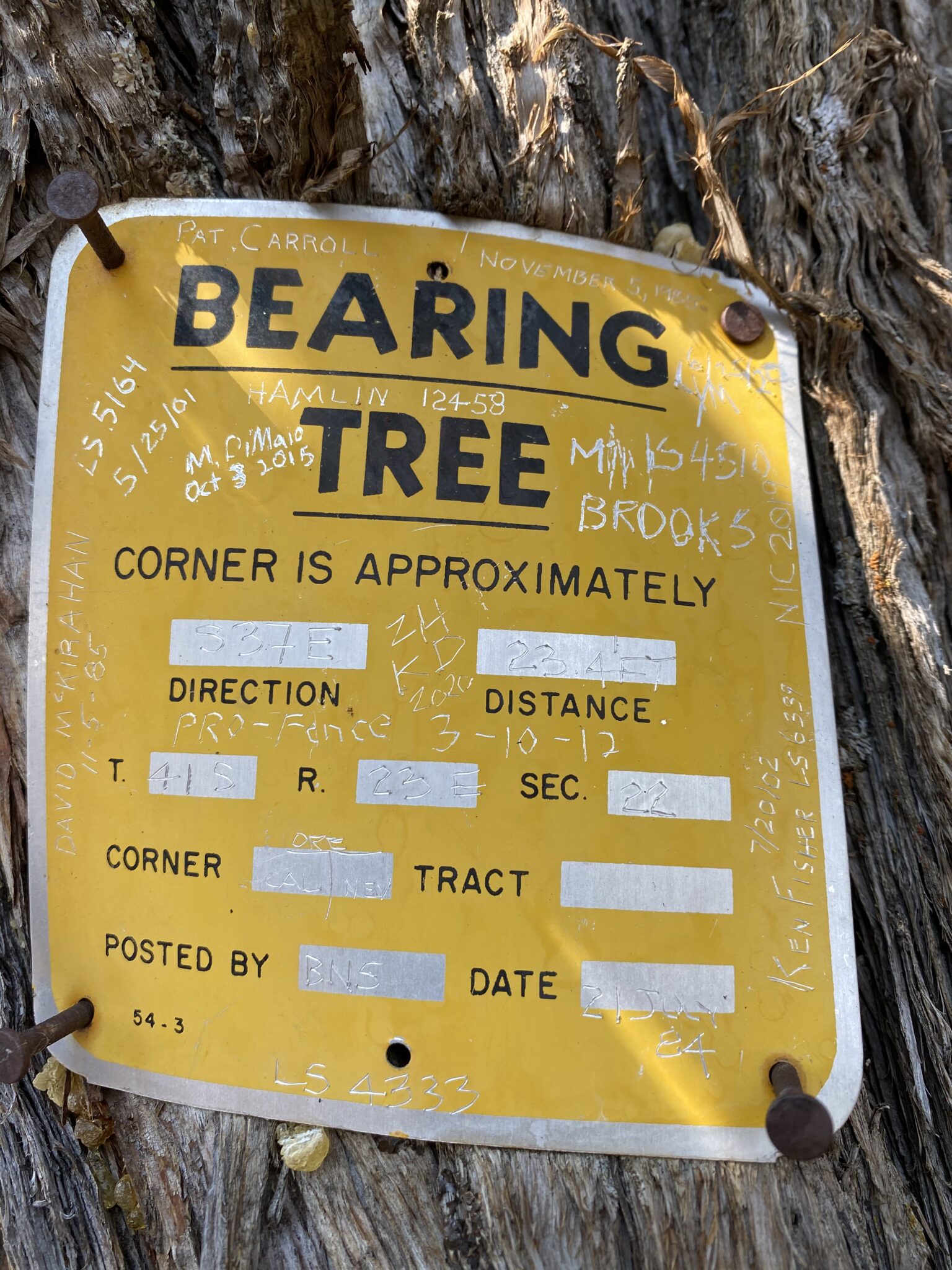
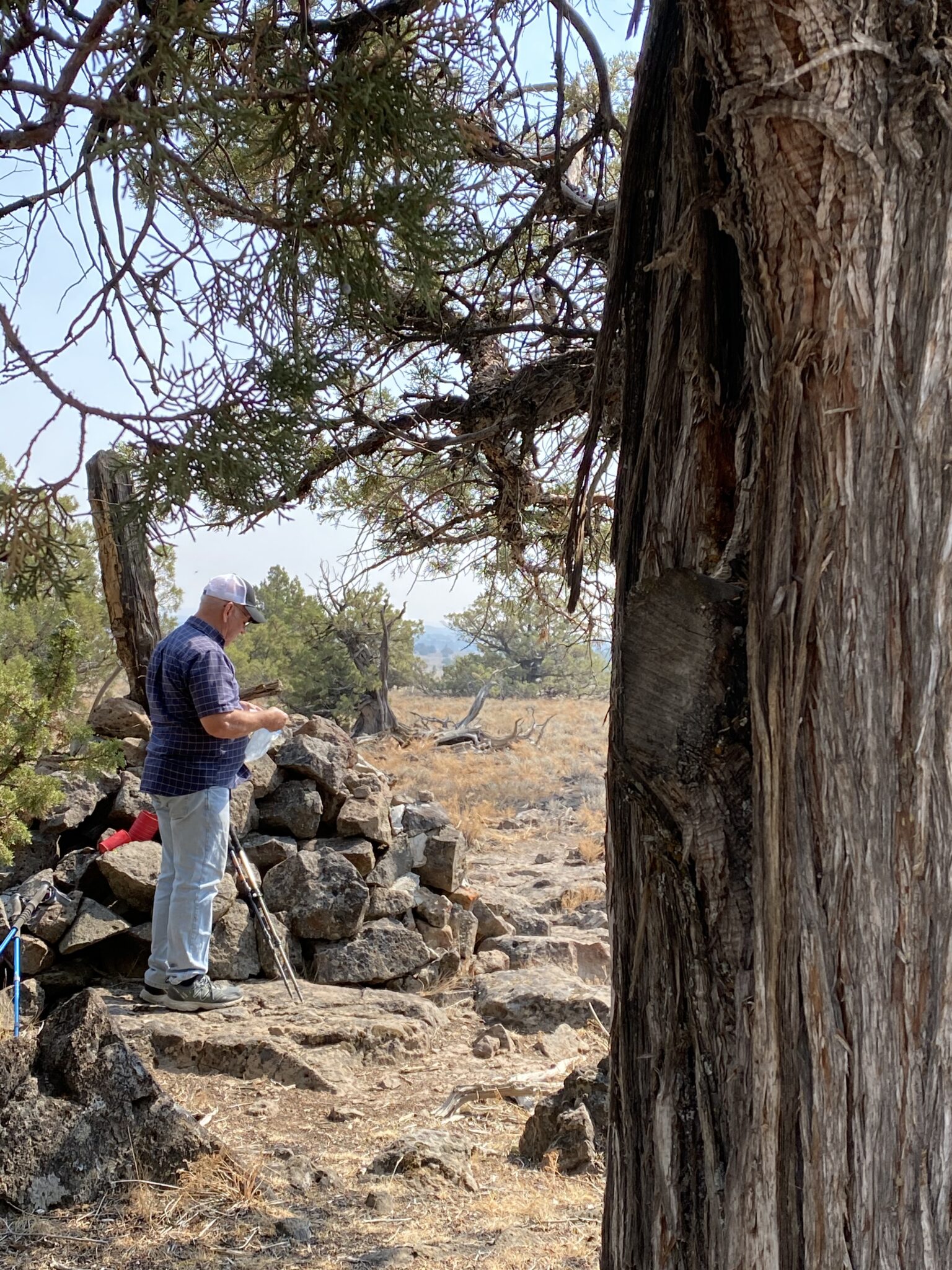
A metal marker is sometimes placed on a nearby “bearing tree” to facilitate the location of a property (or in this case state) corner.
The bearing tree is to the right.
Dave with geocache container in hand
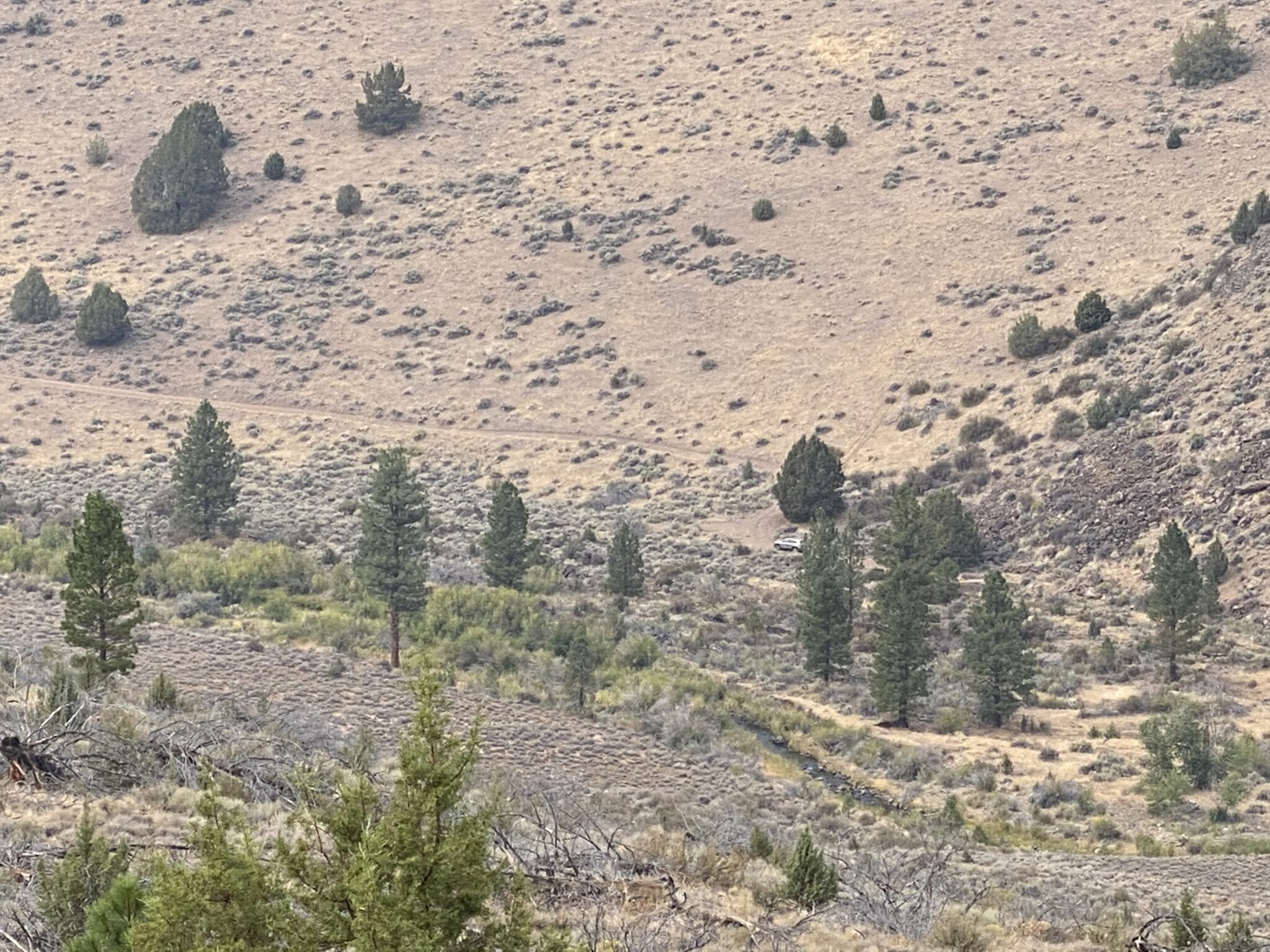
On the way down. The front of the Jeep is circled.
Zoomed in on the Jeep
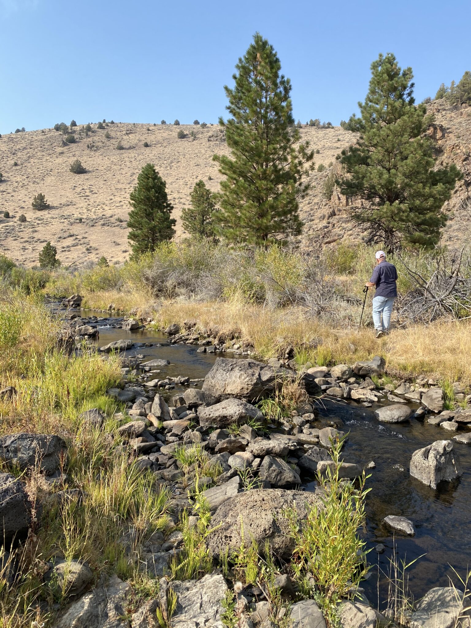
There were plenty of rocks for crossing the stream.
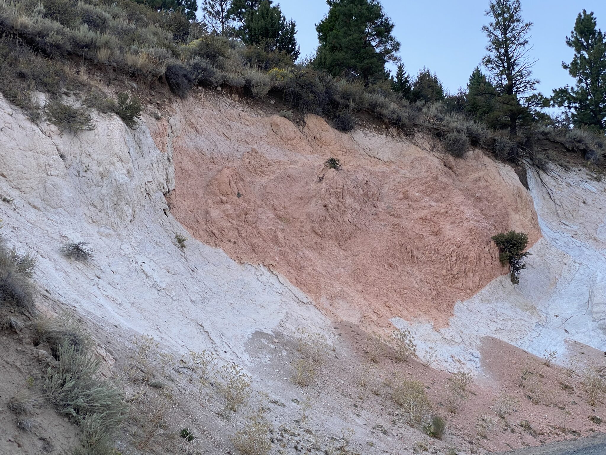
We passed this unusual formation of two colors of volcanic ash on our way back to Lakeview.
Categories: Travel

0 Comments

Leave a Reply

Your email address will not be published. Required fields are marked *

This site uses Akismet to reduce spam. Learn how your comment data is processed.