September 13, 2021
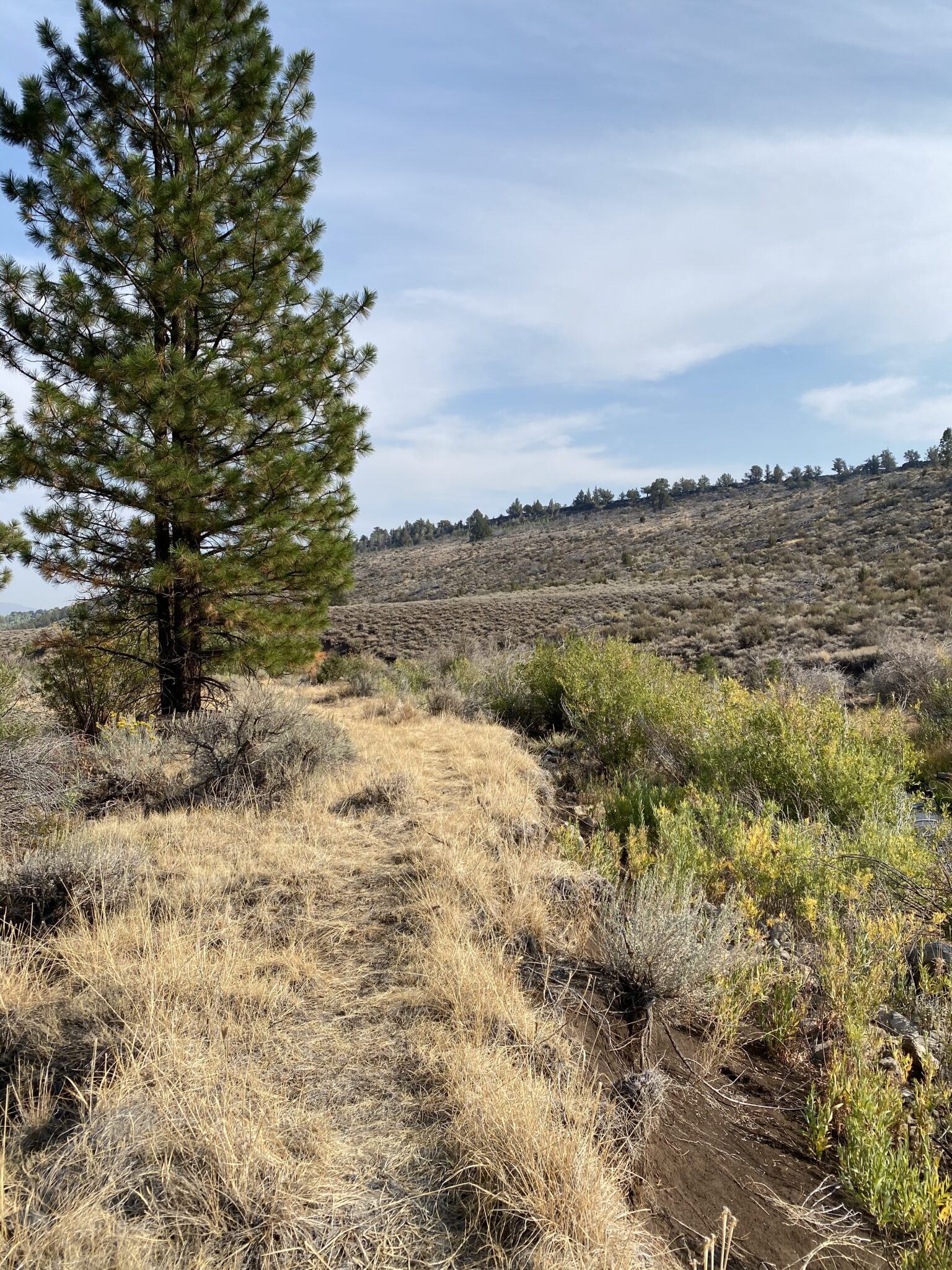
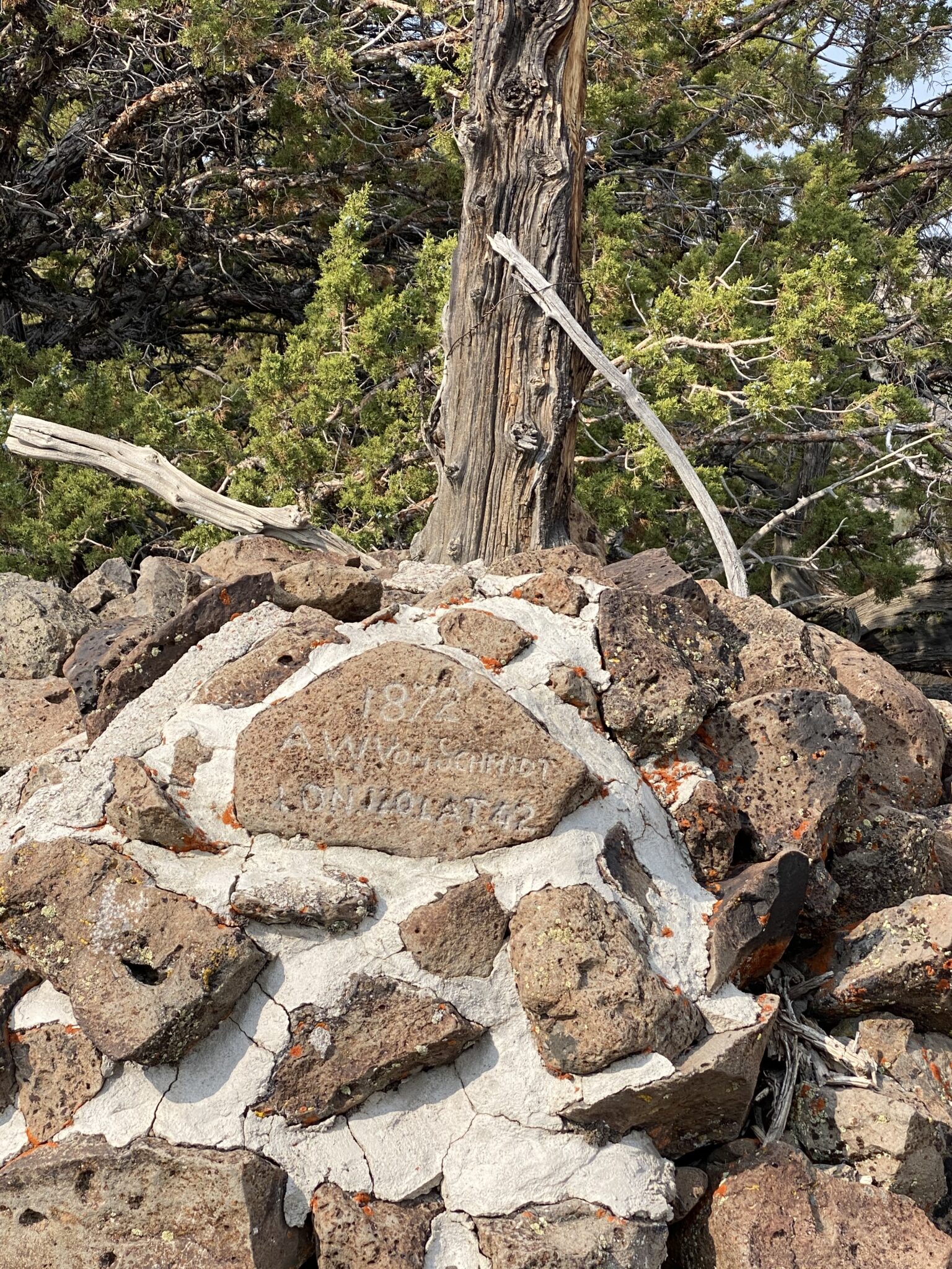
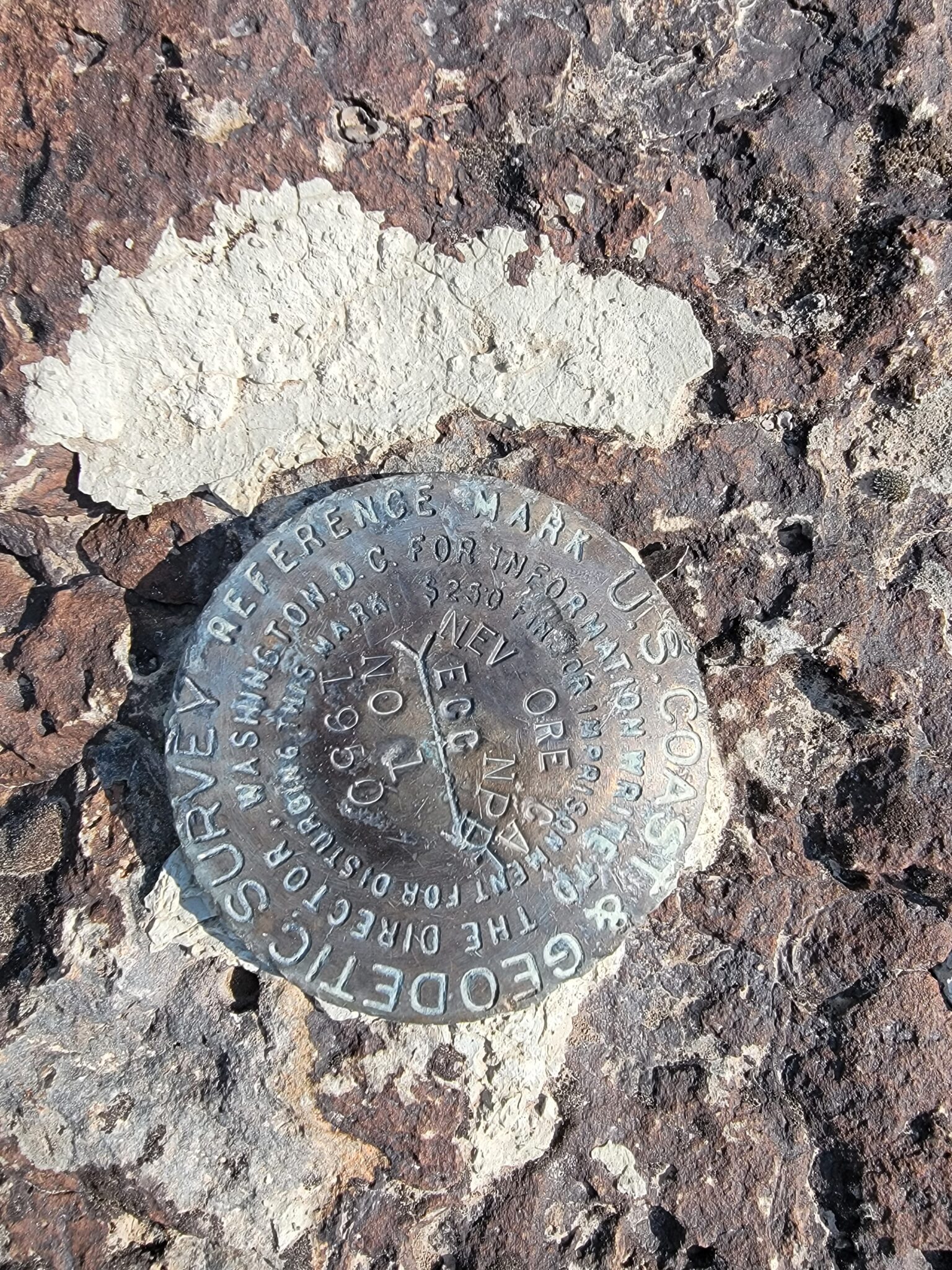
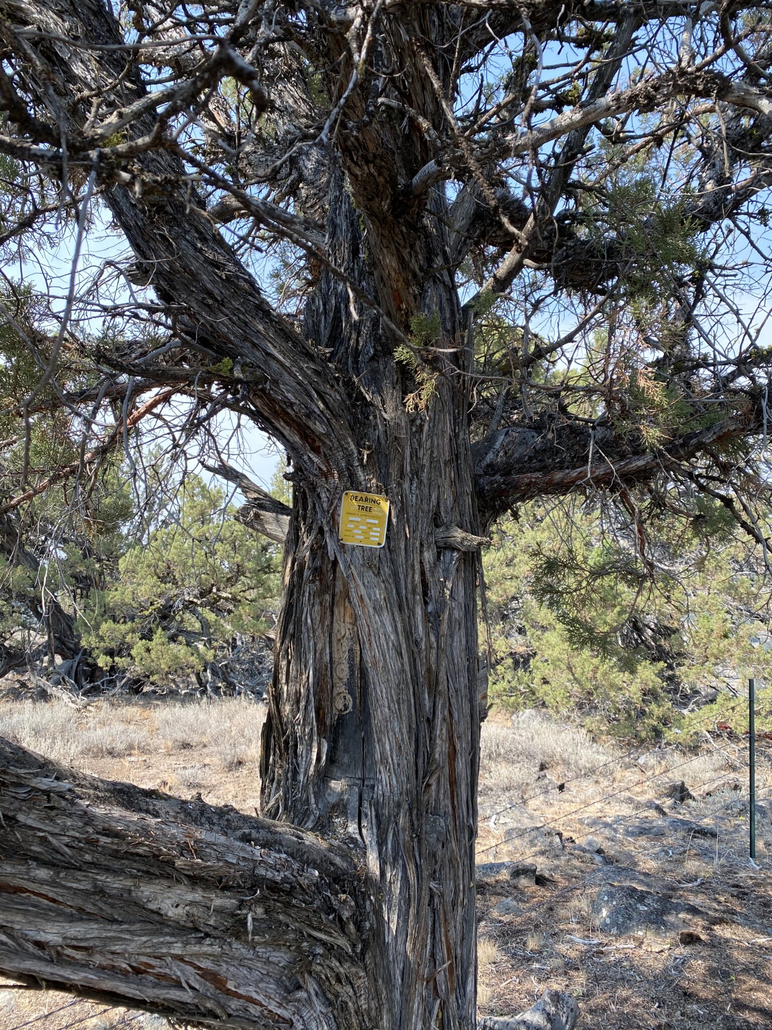
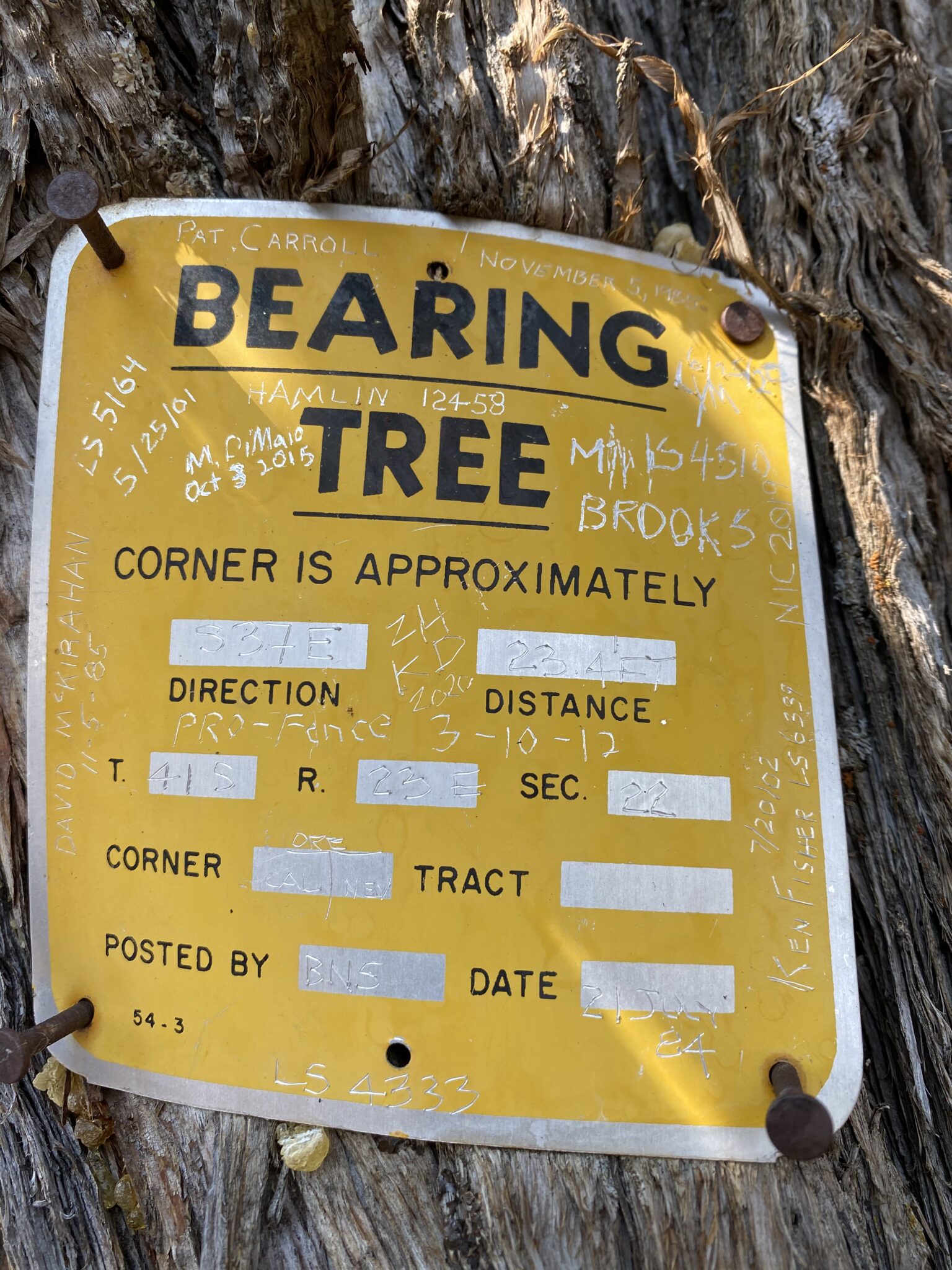
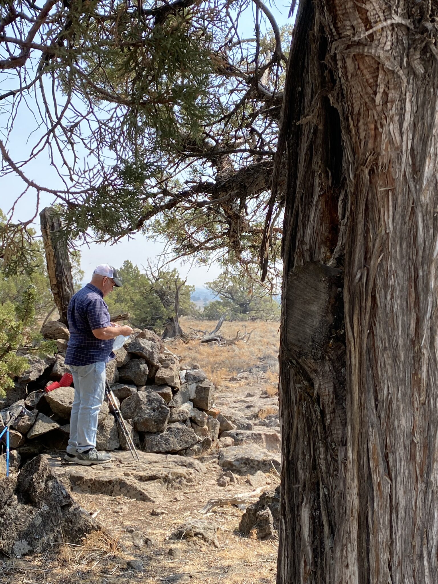
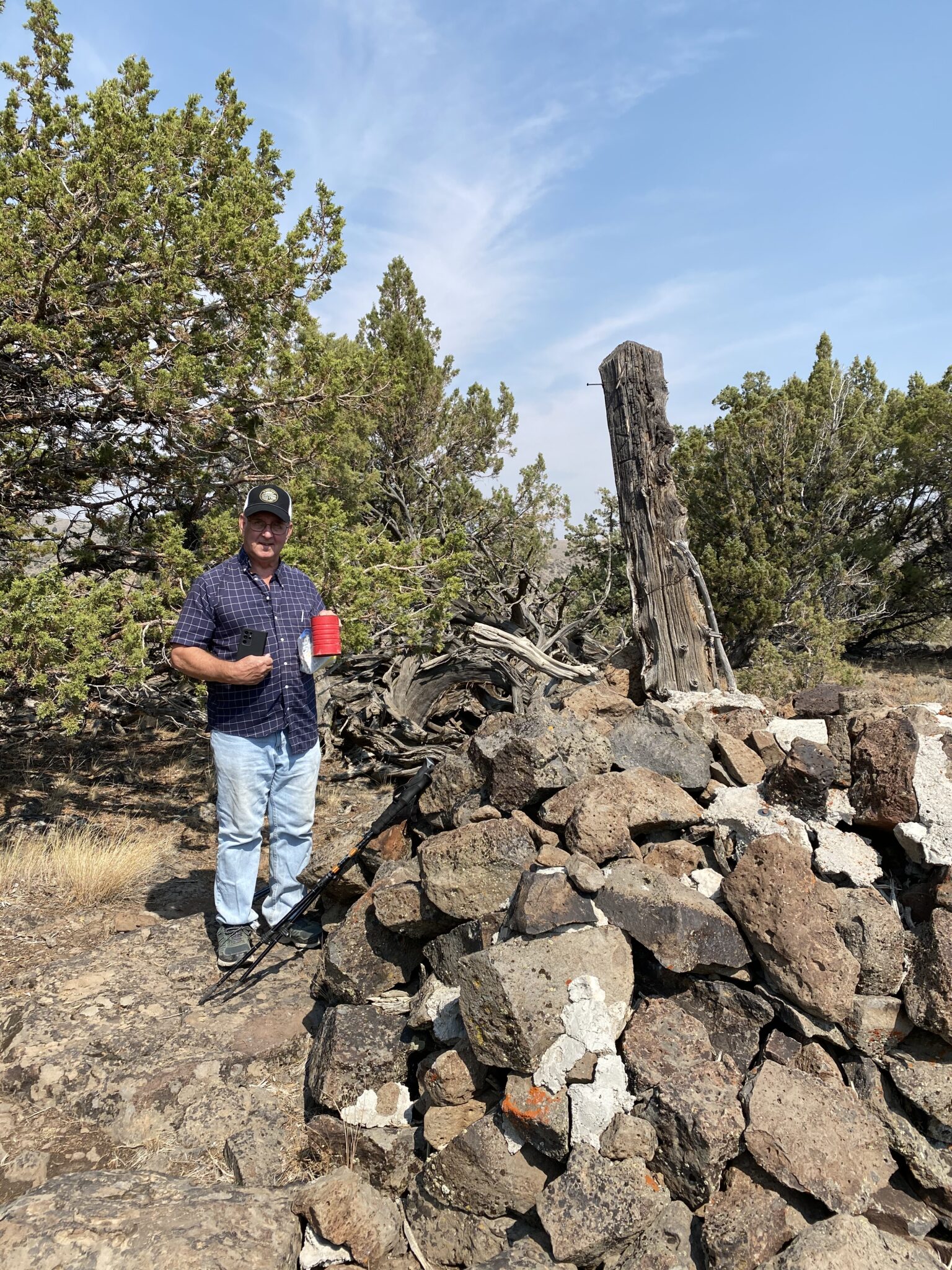
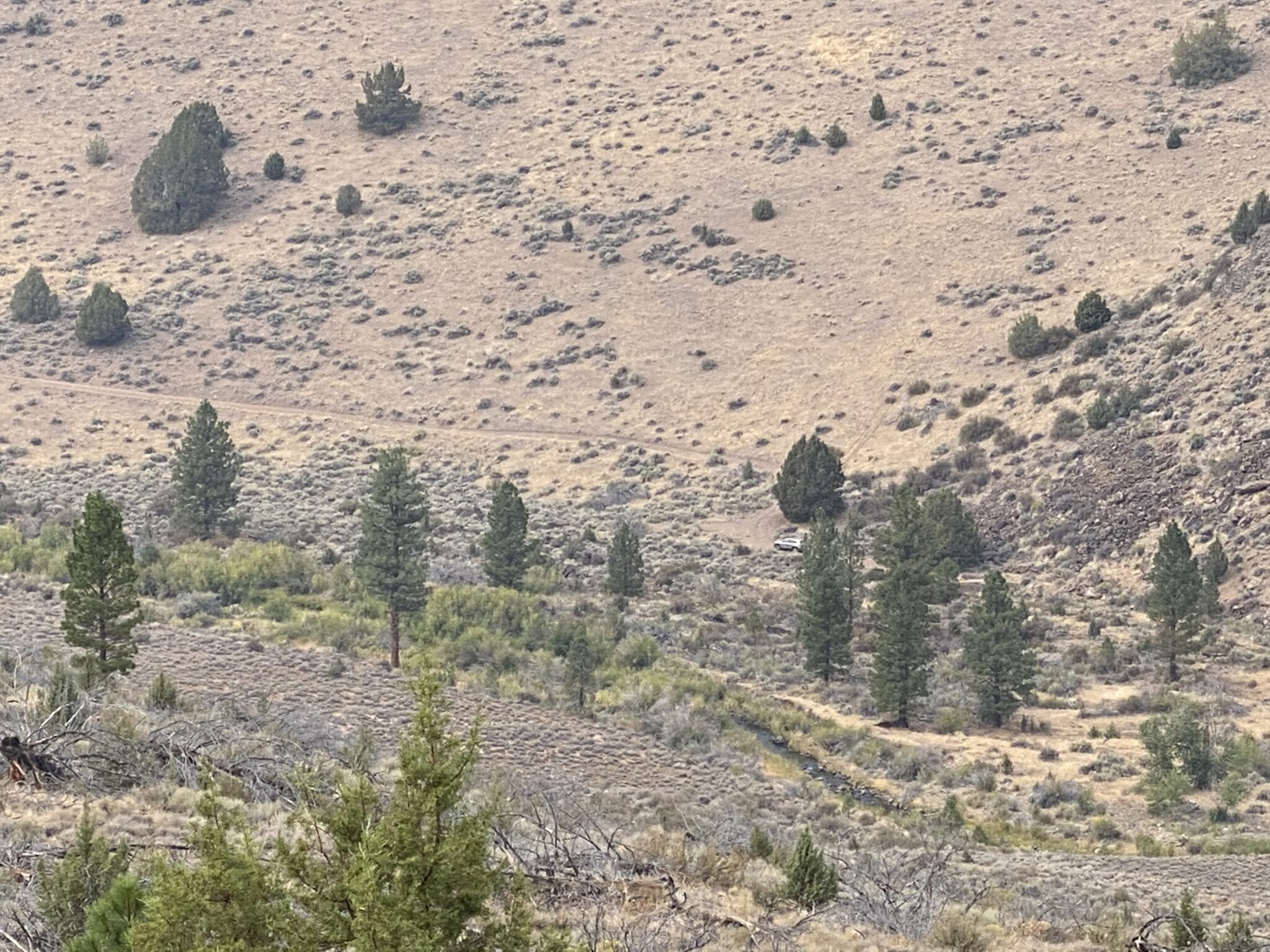
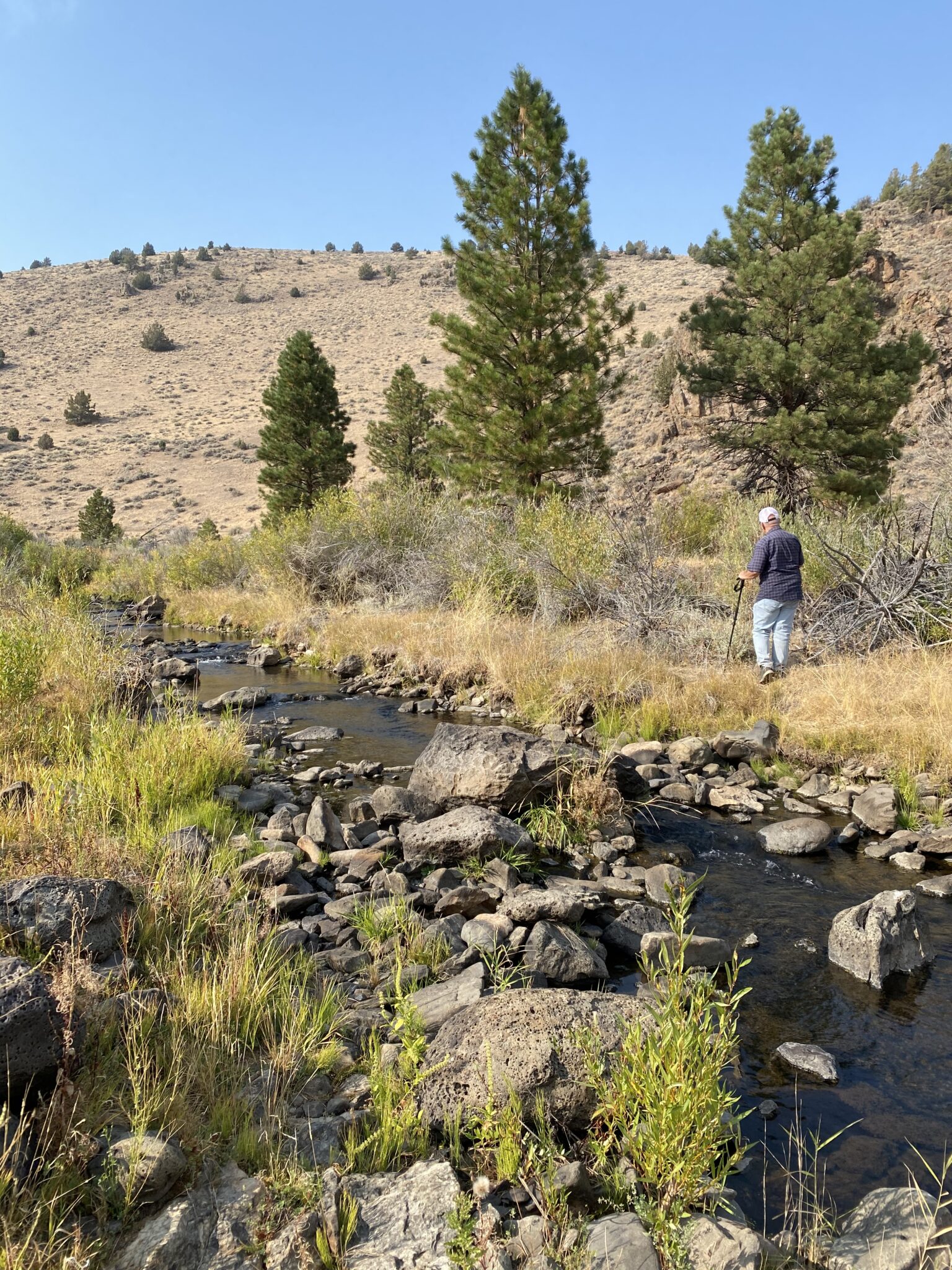
California, Nevada and Oregon meet about a mile off a dirt road, across a stream and up a hill. There’s a monument there and several geocaches. Need we say more about our motivation?


September 13, 2021
California, Nevada and Oregon meet about a mile off a dirt road, across a stream and up a hill. There’s a monument there and several geocaches. Need we say more about our motivation?
August 4, 2022 Vermont’s oldest geocache was closer to our campground near Albany, New York than our campground near Montpelier, Vermont so we treated it separately from other Vermont geocaches. Besides, it was harder to Read more
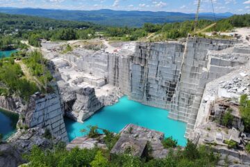
August 1, 2022 Rock of Ages began quarrying Barre granite at Smith Quarry near Barre, Vermont in 1880.
August 1, 2022
0 Comments