September 11, 2021

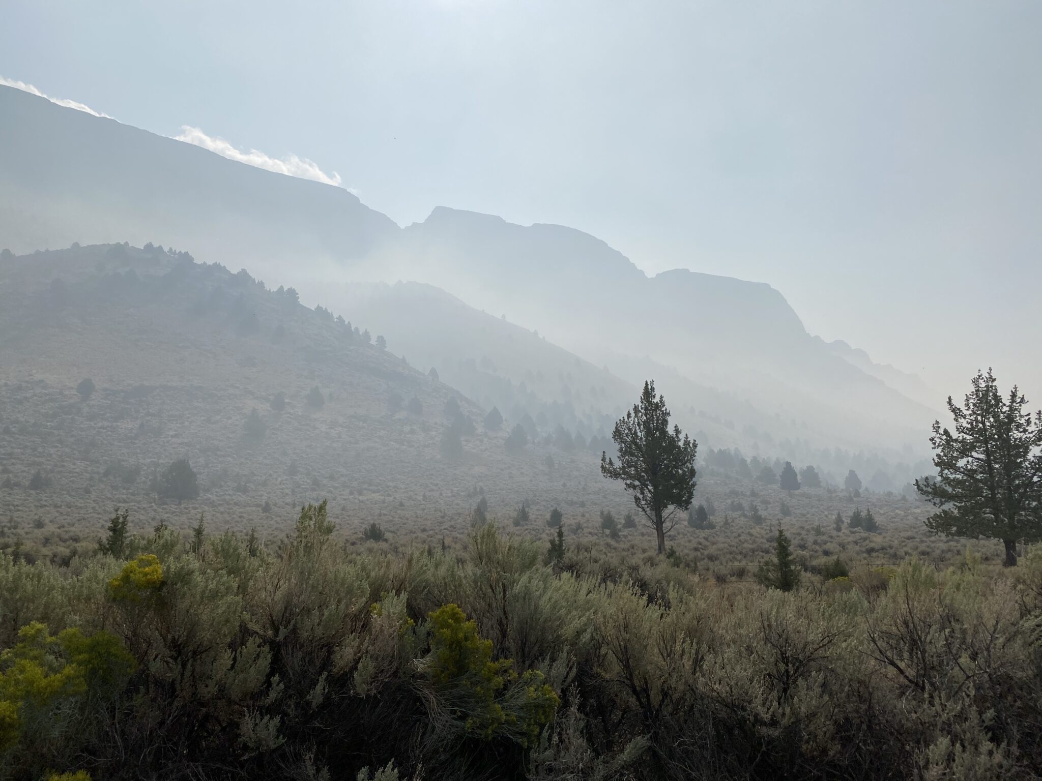
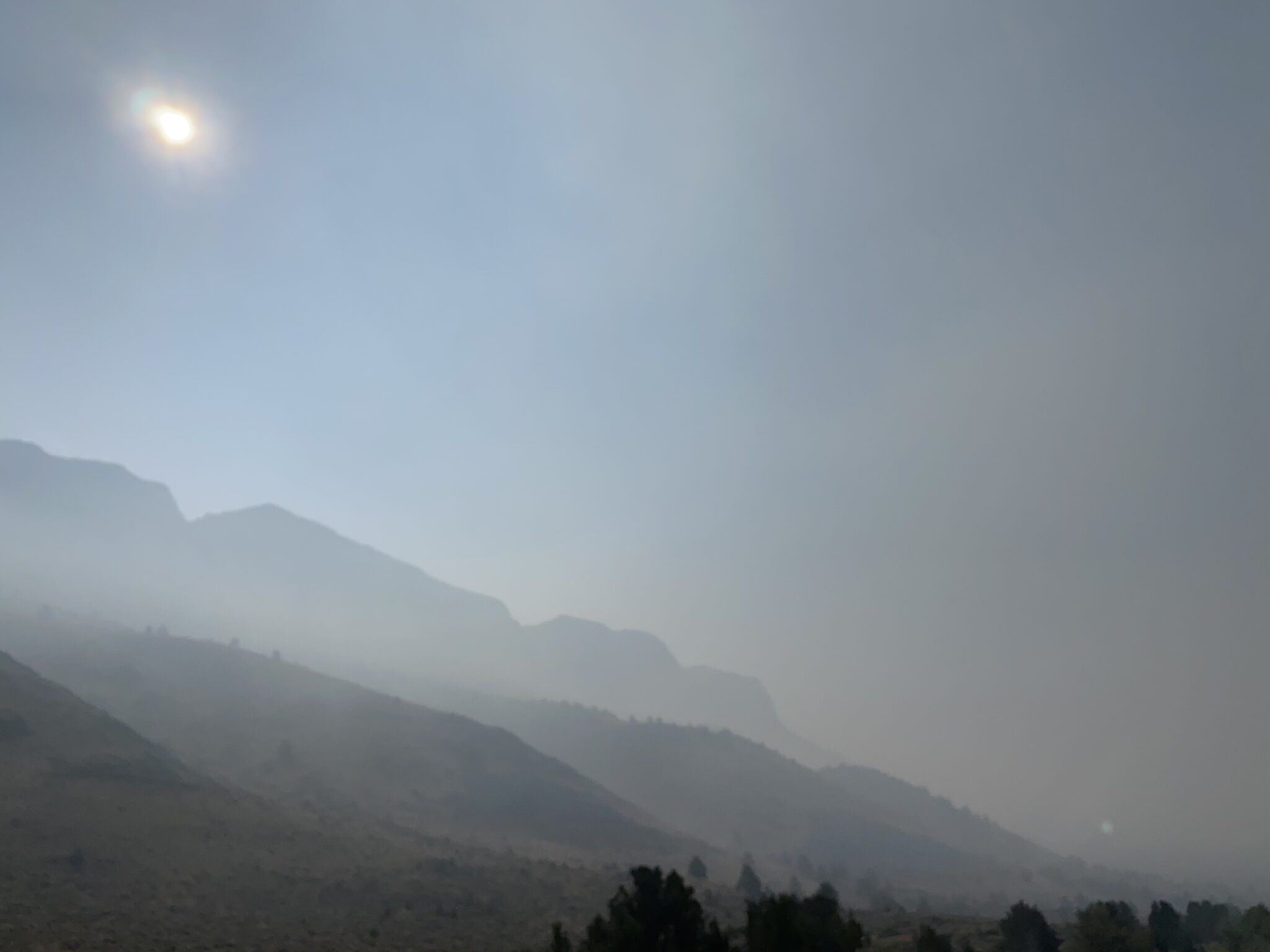
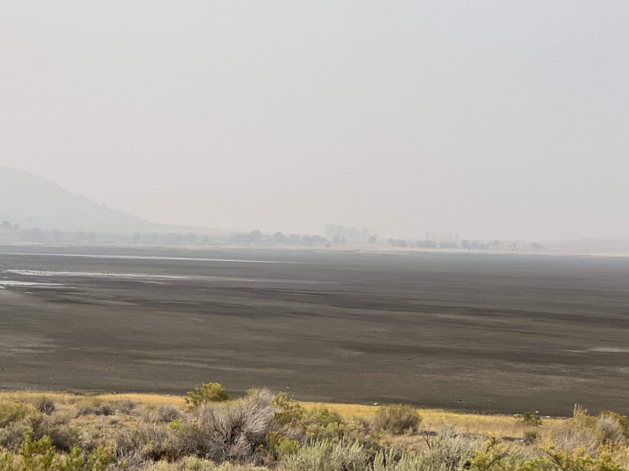
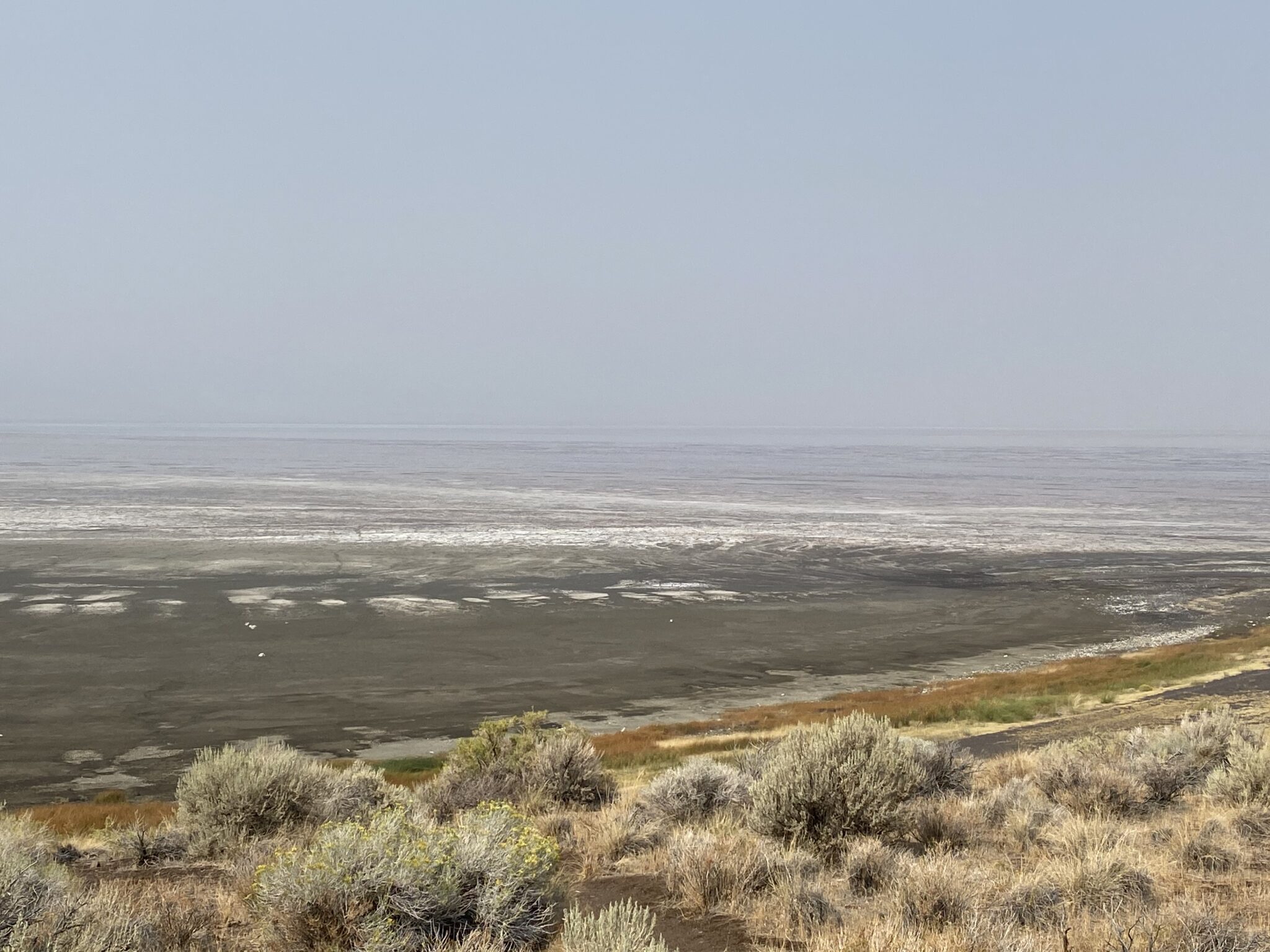
The young woman at the drive-through coffee stand said we shouldn’t miss Abert Rim so we drove north on Highway 395 to see what she was talking about.

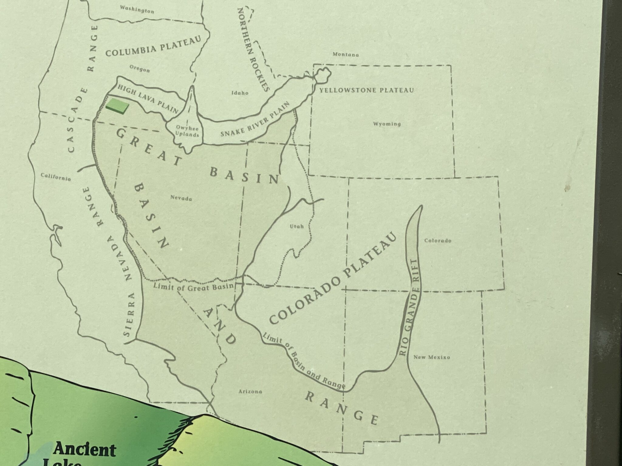
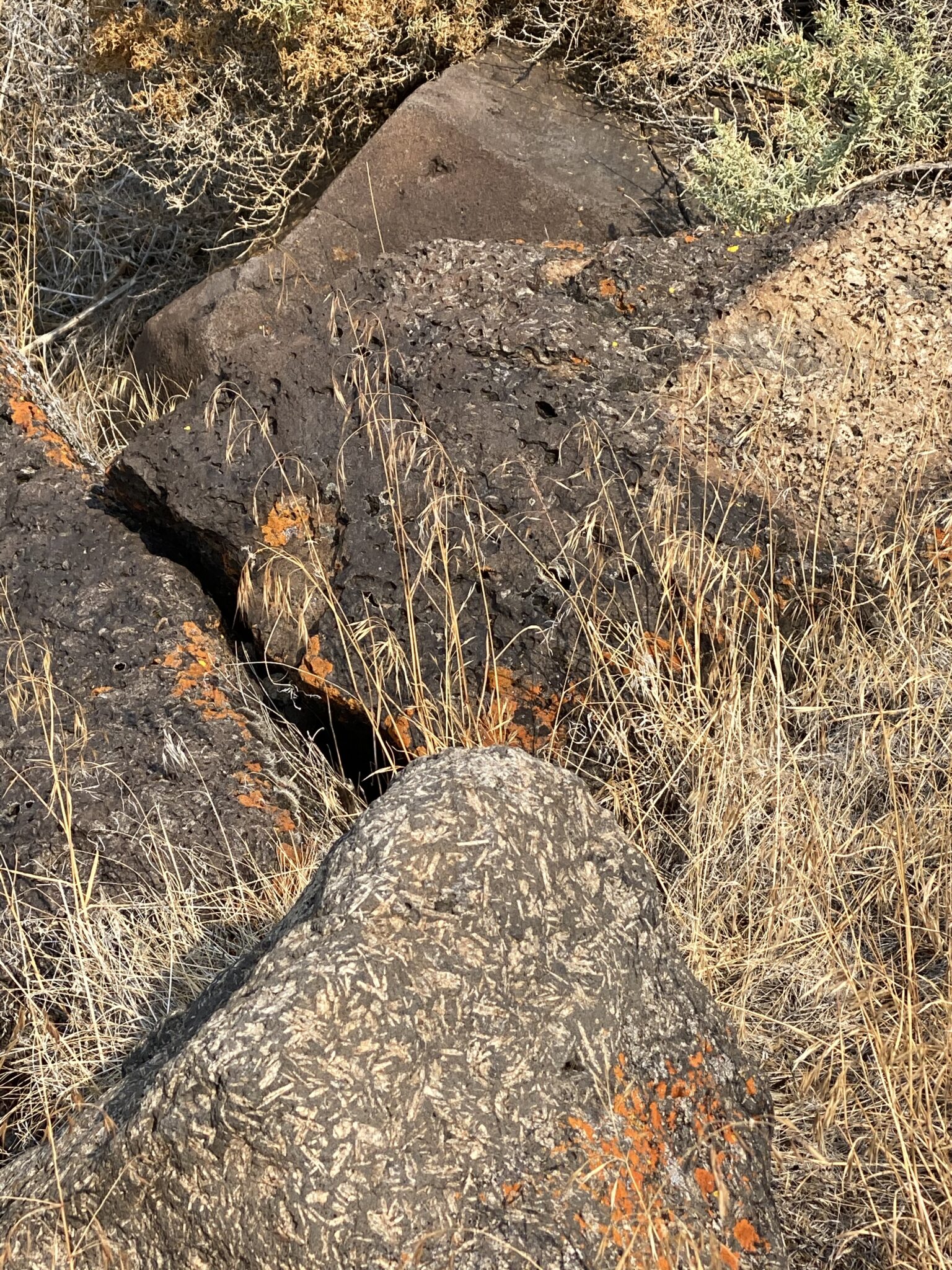
The Rim is a fault scarp formed when lava several thousand feet thick covered the land broke into huge blocks and then became tilted. At 2,500 feet, the Abert Rim is one of the highest scarps in the U.S, and at 30 miles long is the longest exposed fault scarp in North America. You can think of the Rim as one edge of one of the tilted blocks. Scarps often occur in the Basin and Range province shown in the map below.

We first became familiar with basin and range geography when traveling across southern Arizona’s succession of valleys (basins) and mountains (ranges).
Juniper trees contrast with the Abert Rim behind them.
Nearby fires blurred the sun and emphasized the layers of the Abert Rim.
Lake Abert is a shrinking remnant of ancient Lake Chewaucan which was filled by rain and runoff from melting snow at the end of the last ice age.
Lake Abert is 63 square miles; Lake Chewaucan was 460 square miles.
Lake Abert is Oregon’s only saltwater lake.
Mineral crystals cover rocks along Lake Abert.
We were fascinated by the white inclusions in this rock and the orange lichen on the rock’s surface.
The white inclusions may be feldspar crystals.
Categories: Travel

0 Comments

Leave a Reply

Your email address will not be published. Required fields are marked *

This site uses Akismet to reduce spam. Learn how your comment data is processed.