June 9-12, 2018
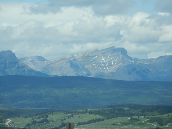
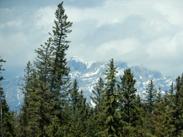
We must have been impressed with the drive from Lethbridge to Banff because we took 76 pictures. Here are a few of our favorites.
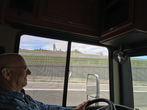
Through the window behind Dave is the ski jump facility built for the Calgary Olympics in 1988.
This was our view from the door of the coach. We never again saw the sun on Tunnel Mountain, but it was lovely while it lasted.
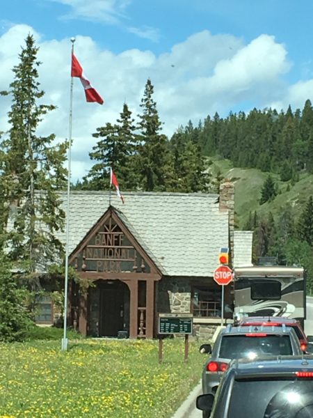
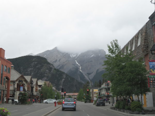
We stopped by the Visitor’s Center and then took a drive around town to get oriented.
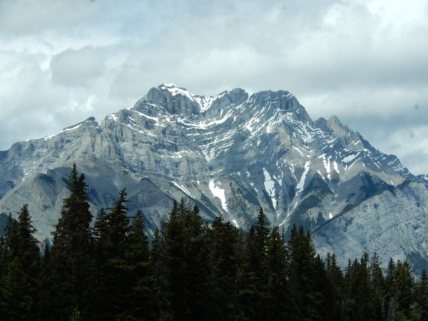
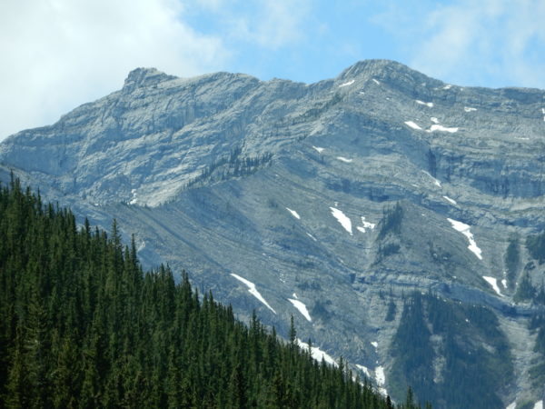
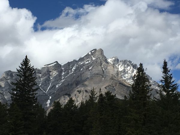
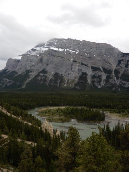
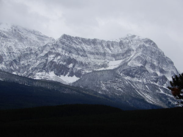
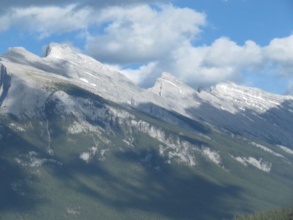
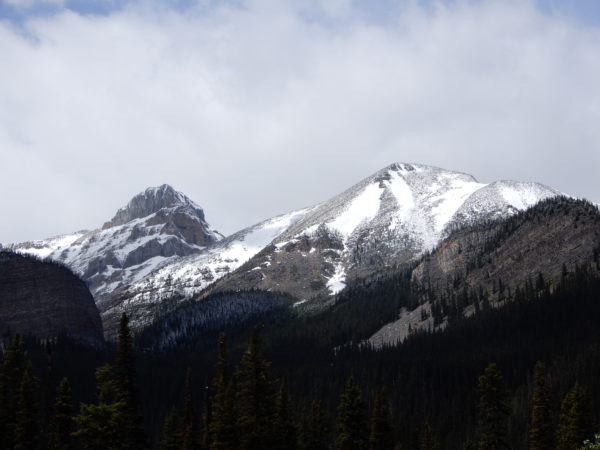
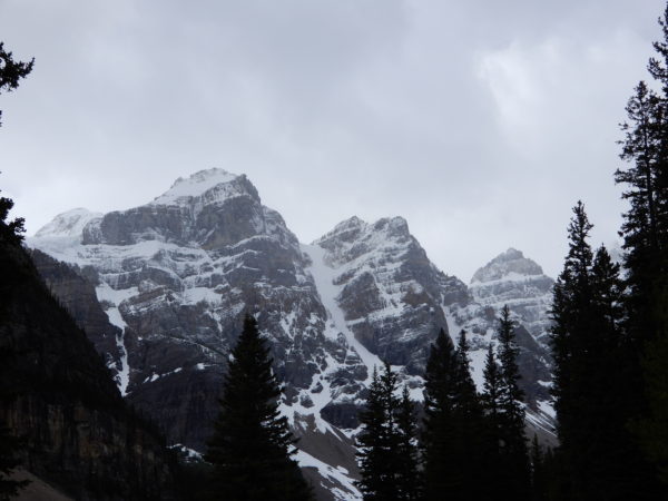
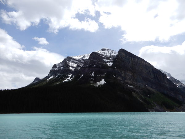
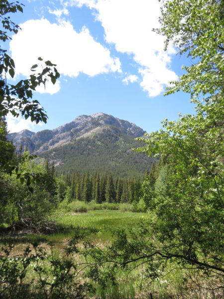
Mt. Rundle
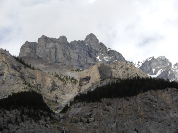
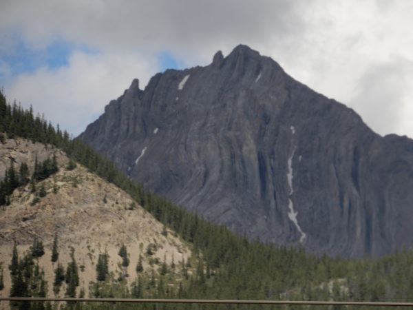
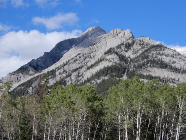
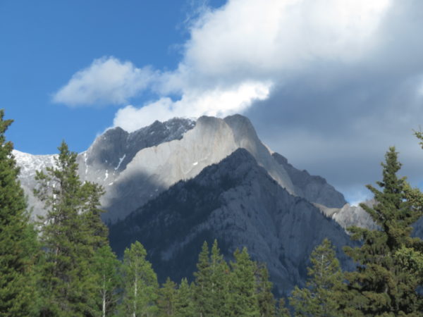
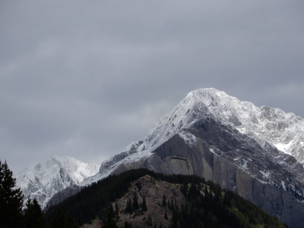
Cascade Mountain
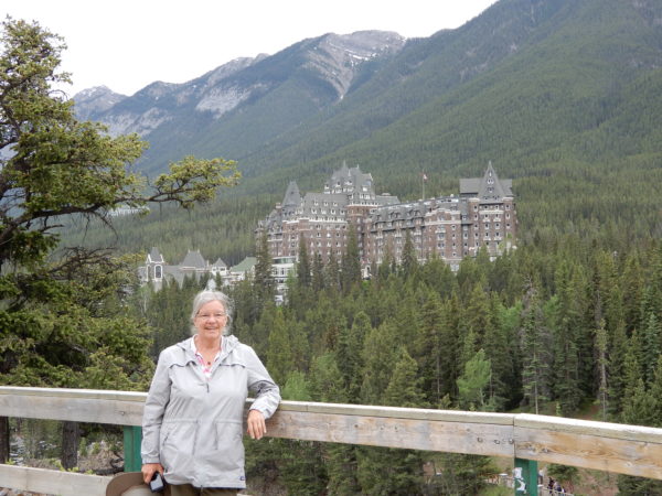
Fairmont Hotel and Jane
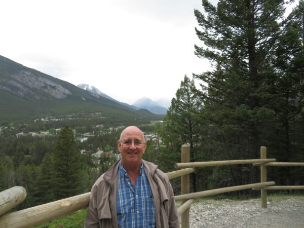
Banff and Dave
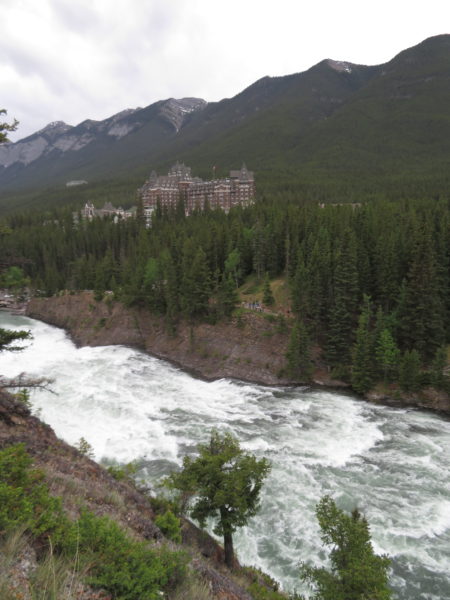
Bow River Falls
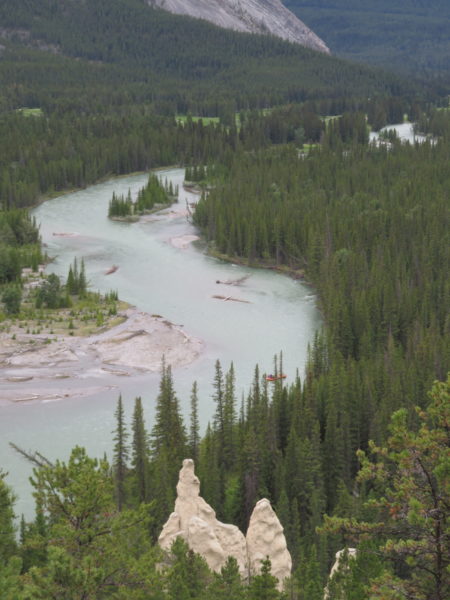
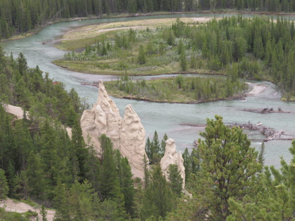
A little further along the Bow River were hoodoos–columns of weathered rock.
Hoodoos, the Bow River, and Mt. Rundle.
The town of Banff is home to about 8,000 people and was named for the Banffshire region in Scotland.
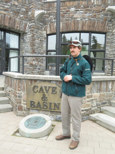
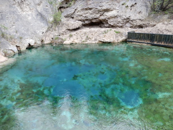
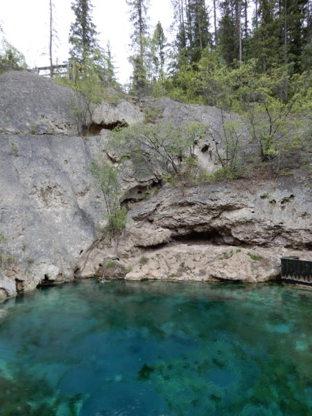
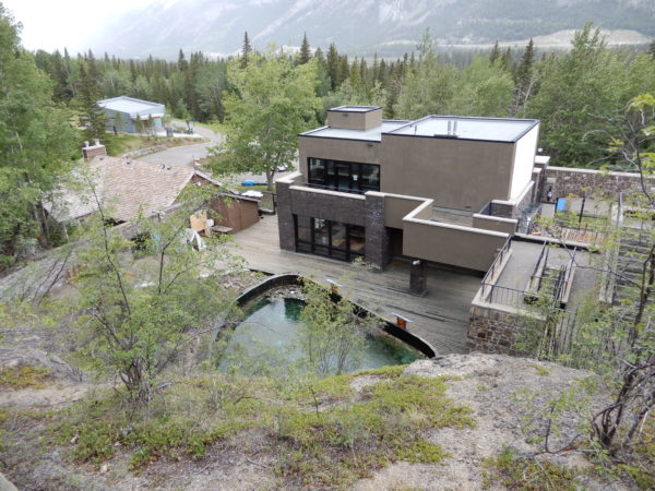
Cave and Basin National Historic Site
5,000 years ago, chemicals in a natural hot spring allowed minerals to precipitate and form a basin of tufa. Different chemicals then eroded the basin, forming a cave. In 1883 two Canadian Pacific Railway workers discovered the cave, entered through its natural skylight, and set about commercializing the site. Support for public ownership prompted the government to set aside a land reserve in 1883 and to establish Canada’s first national park at the site in 1887.
A Parks Canada ranger showed us around the site. He first thanked people of the first nations for sharing the land with us.
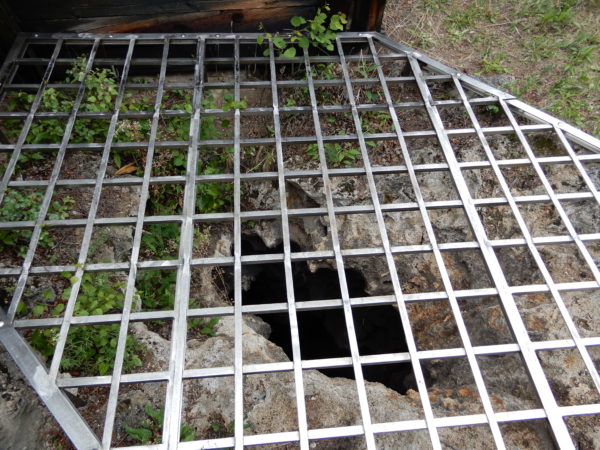
The natural opening to the cave.
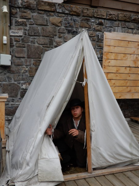
We had the privilege of meeting one of the railroad workers who discovered the cave.
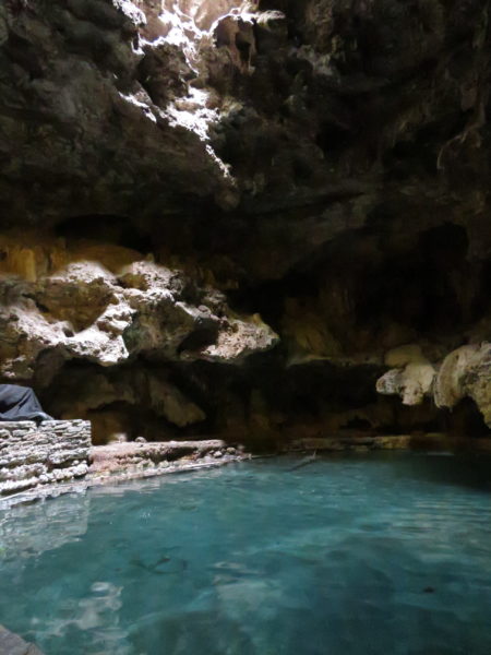
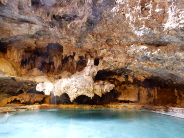
A few formations remain although most were removed when the cave was commercialized.
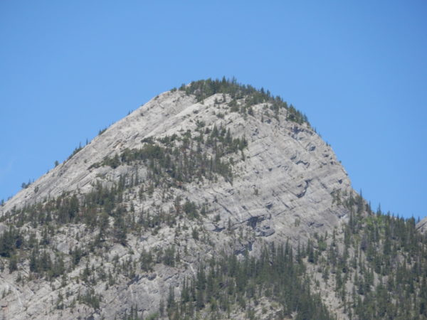
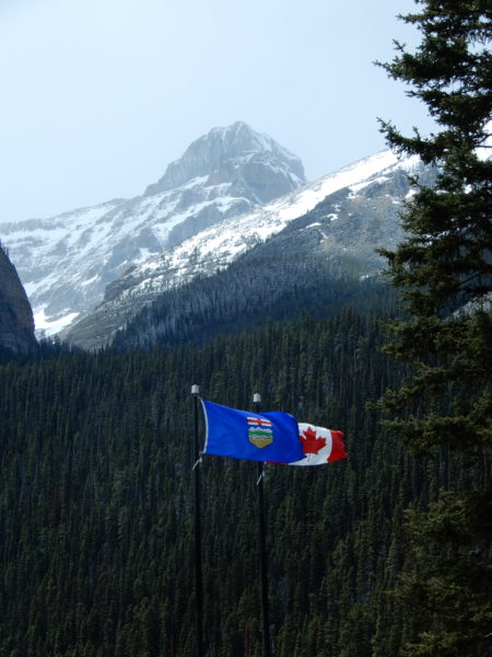
Bow Valley Parkway
We took the scenic route the day we visited the Lake Louise area.
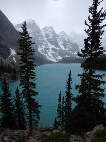
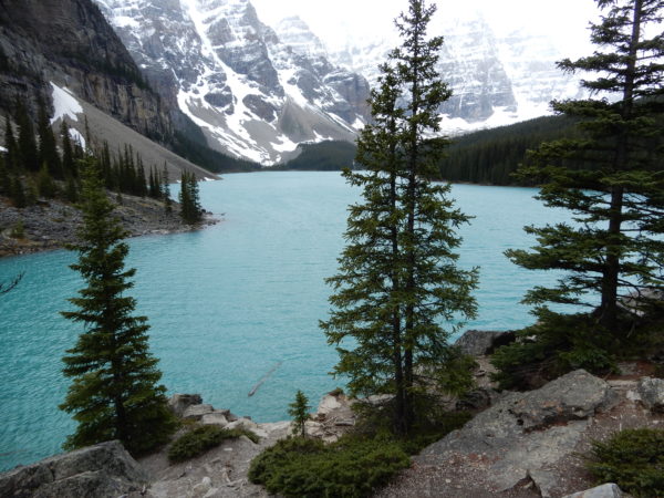
We visited two areas: Moraine Lake and Lake Louise itself. Parking at each site is very limited. You drive by the entrance to the parking lot and, if space is available, an attendant waves you in. If not, you’re waved on. We had to drive by the entrances to both parking lots more than once before we hit the “come on in” lottery.
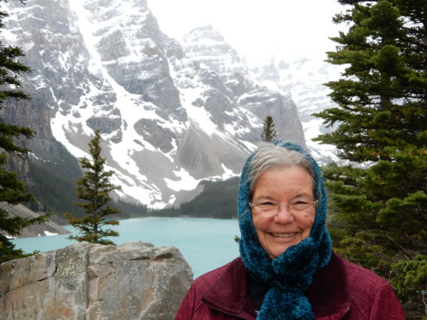
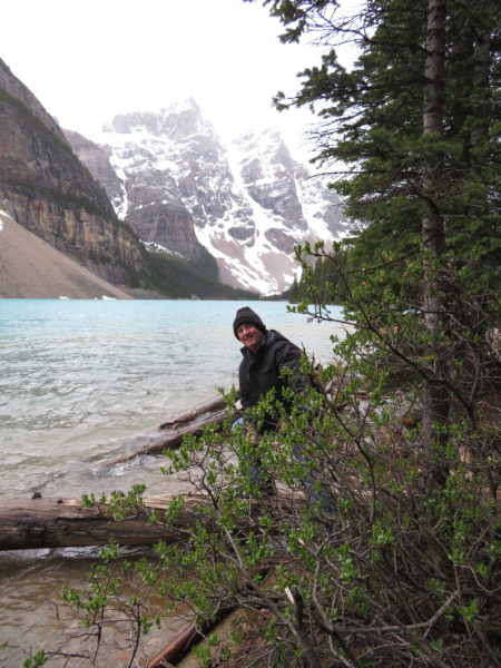
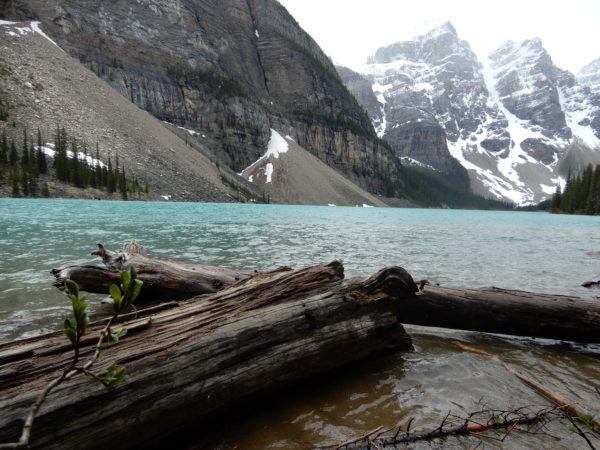
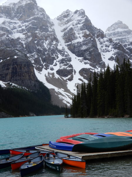
Moraine Lake
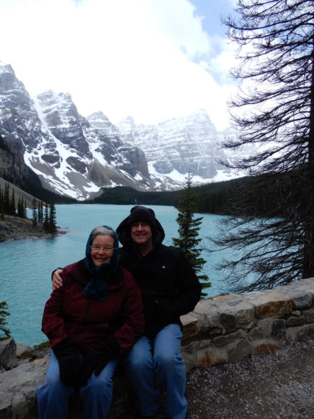
We’re bundled up: It was snowing!
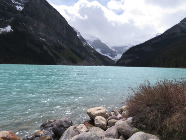
Lake Louise
The community of Lake Louise, at 5,018 feet, is the highest in Canada. At the Visitors Center, we picked up two bits of trivia to share: 1. The Rockies were once ten kilometers (30,000 feet) higher than they are now. And, 2. The Rockies are eroding at the rate of 6 cm every thousand years. At this rate, they will be flat in 55 million years.
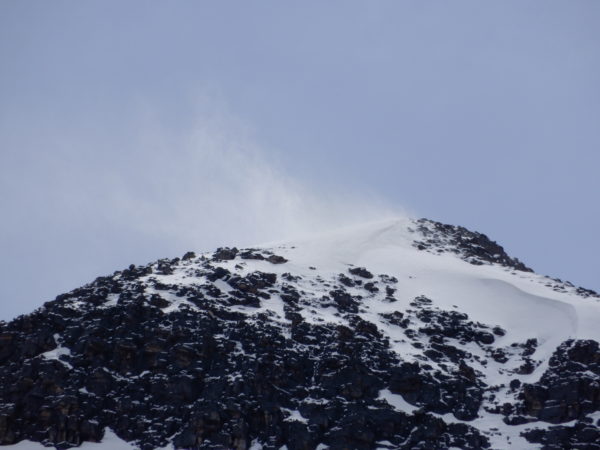
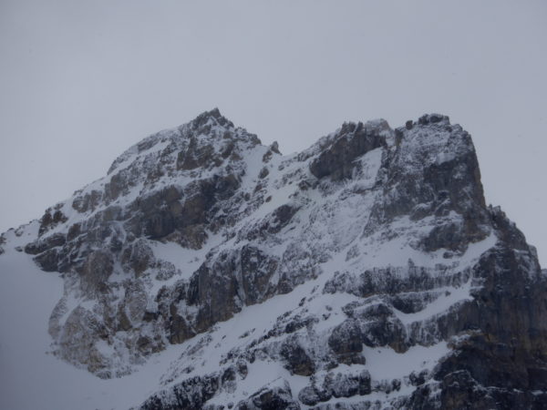
Snow swirls at the top of this peak.
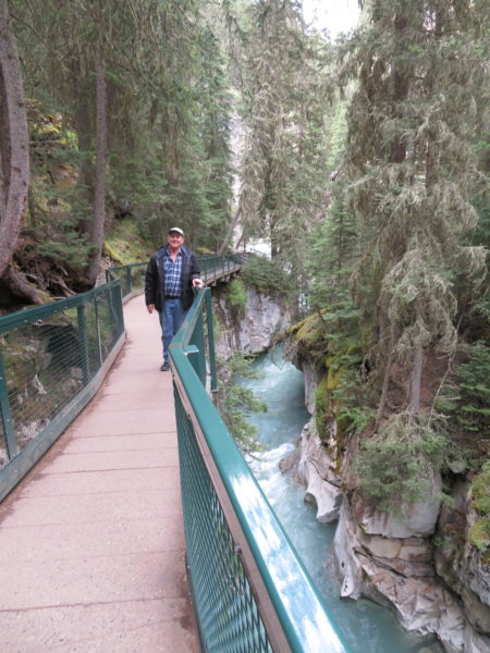
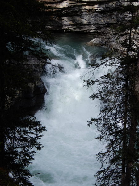
Johnston Canyon
On the way back to Banff from Lake Louise, we stopped for a hike up Johnston Canyon. We’ve hiked to a lot of falls in our nearly forty-one years; this was the best experience. Sure, Jane shuddered at the catwalks precariously attached to the sides of the canyon, but she’d brave those catwalks again in a heartbeat.
Lake Minnewanka Scenic Drive
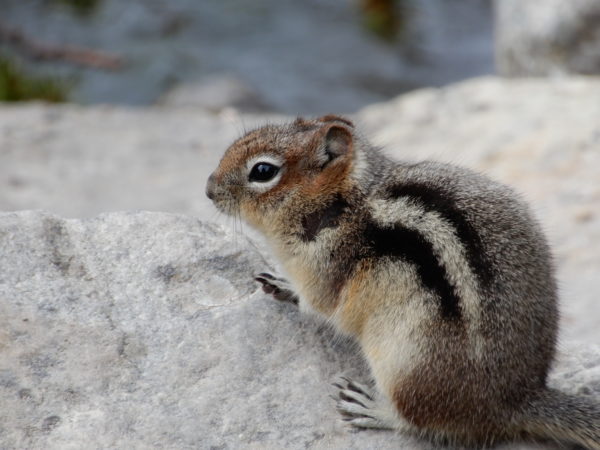
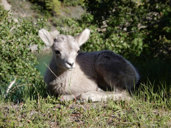
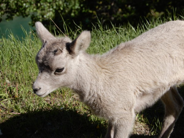
Shall we get the cute out of the way?
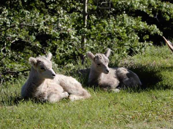
Bighorn lambs, probably a couple of weeks old
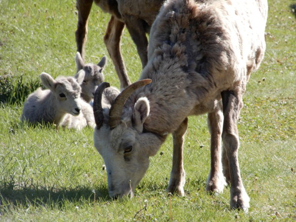
Bighorn ewe and lambs
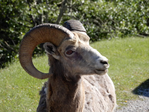
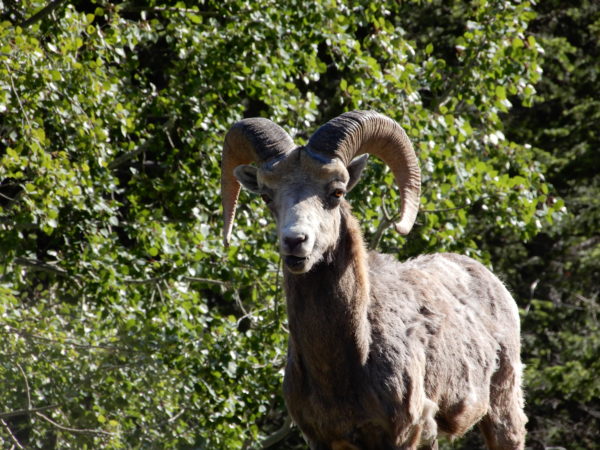
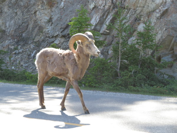
Bighorn ram
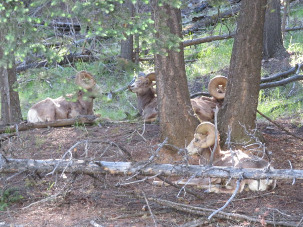
Group of bighorn rams
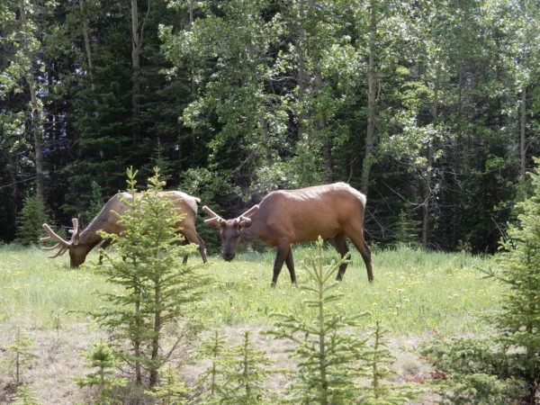
Elk grazing
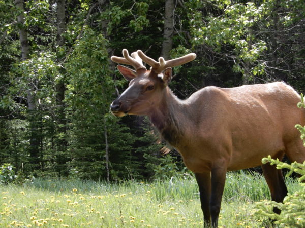
Elk checking out his surroundings
The town of Bankhead was established by the Canadian Pacific Railway in 1903 to mine anthracite coal for its steam engines. At its peak, 400 carloads of coal weighing two metric tons each were removed each day by about 300 men. About 1,000 people lived in the town.
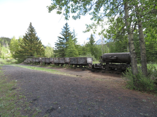
Compressed air engine, coal cars and miner car.
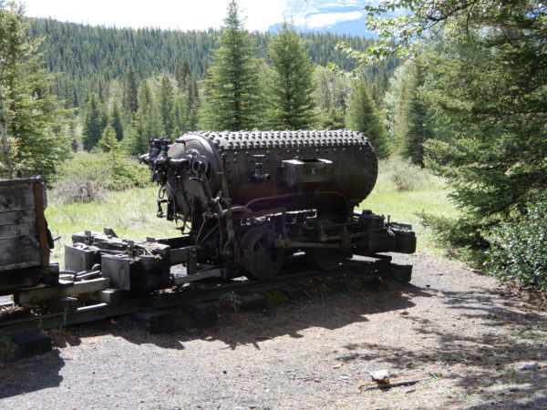
Engine
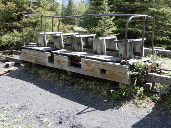
Miners rode in and out of the mine on this car
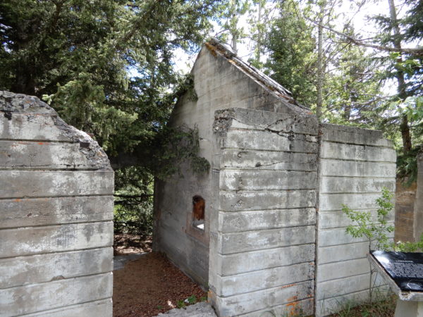
This was the lamp house. Miners picked up their lamps here before they went into the mine. Lamps were numbered and checked at the end of the work day to make sure all the miners had left the mine.
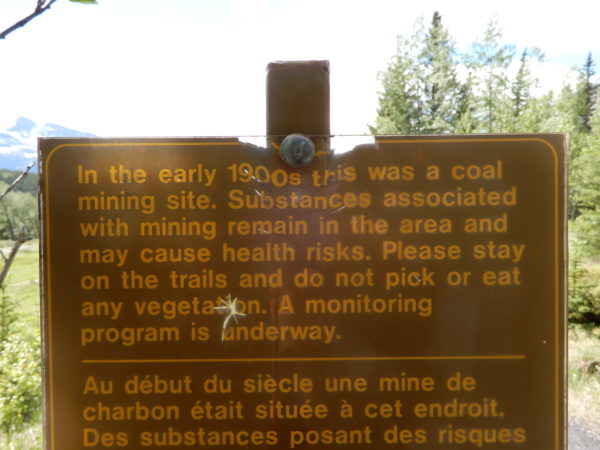
This sign warns against eating any plants growing in the area because it is unknown whether or not they are contaminated.
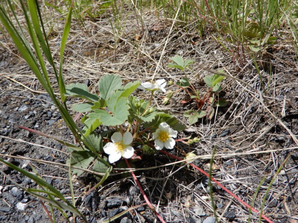
Even the wild strawberries . . .
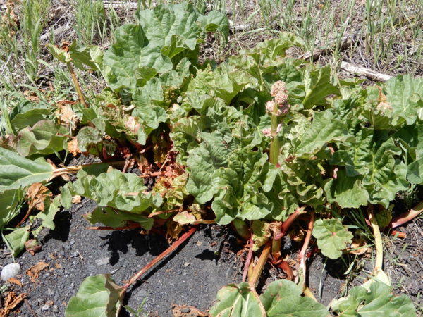
. . . and the rhubarb that residents planted over a hundred years ago.
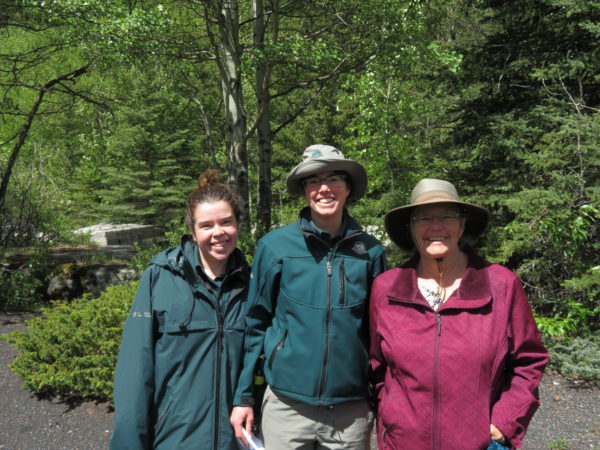
Our timing was perfect to join two rangers practicing for an interpretive walk.
The mine closed in 1922 and almost all of the buildings were removed.
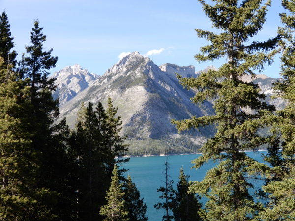
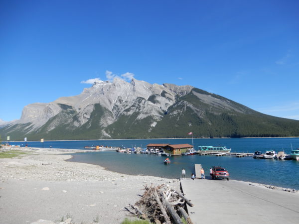
A little further along the drive, gorgeous Lake Minnewanka is a popular recreation spot.
Fenland Trail
Fenland Trail winds through moist, upland slopes along Forty Mile Creek. Only 3% of Banff’s acreage is land like this.
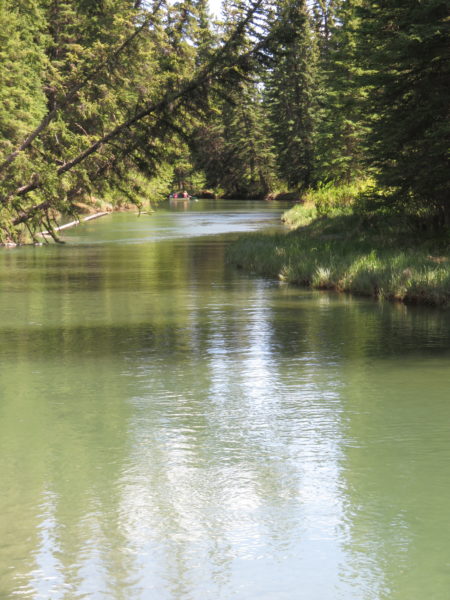
Forty Mile Creek
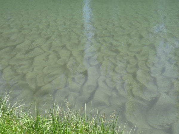
Patterns in the sand
3 Comments
Jay Waters · July 16, 2018 at 7:04 am
What great travels you’re having. Those long pants and long sleeves make me jealous!
Jon Appel · July 16, 2018 at 1:17 pm
Amazing sites! Be careful and have fun.
Bubba Appel
Susan · August 9, 2018 at 8:42 am
Only 76 photos? I would have been there for days and taken hundreds of photos. It looks so beautiful. I am glad you are enjoying this journey!