July 3-10, 2017
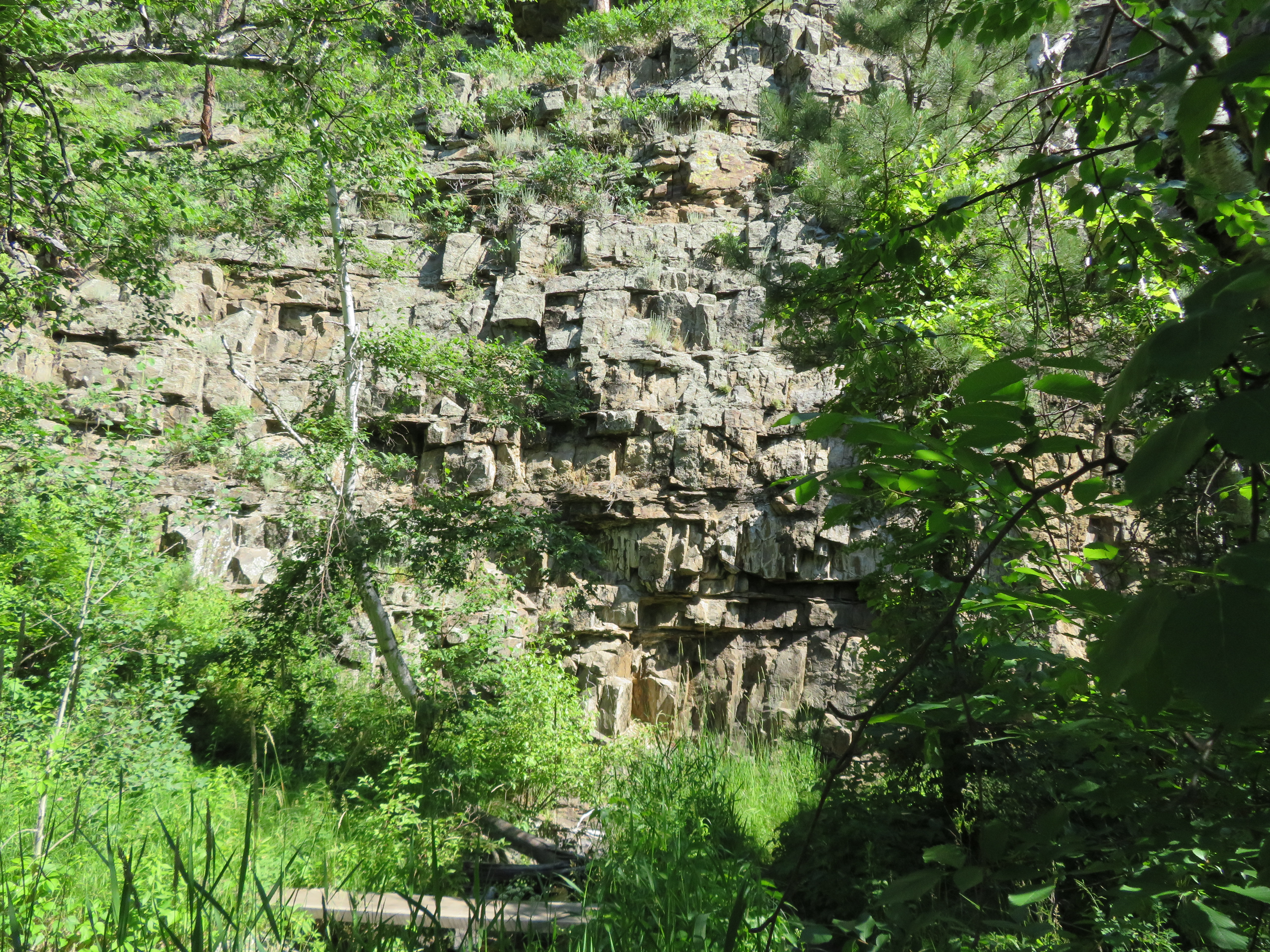
The Cairns Trail
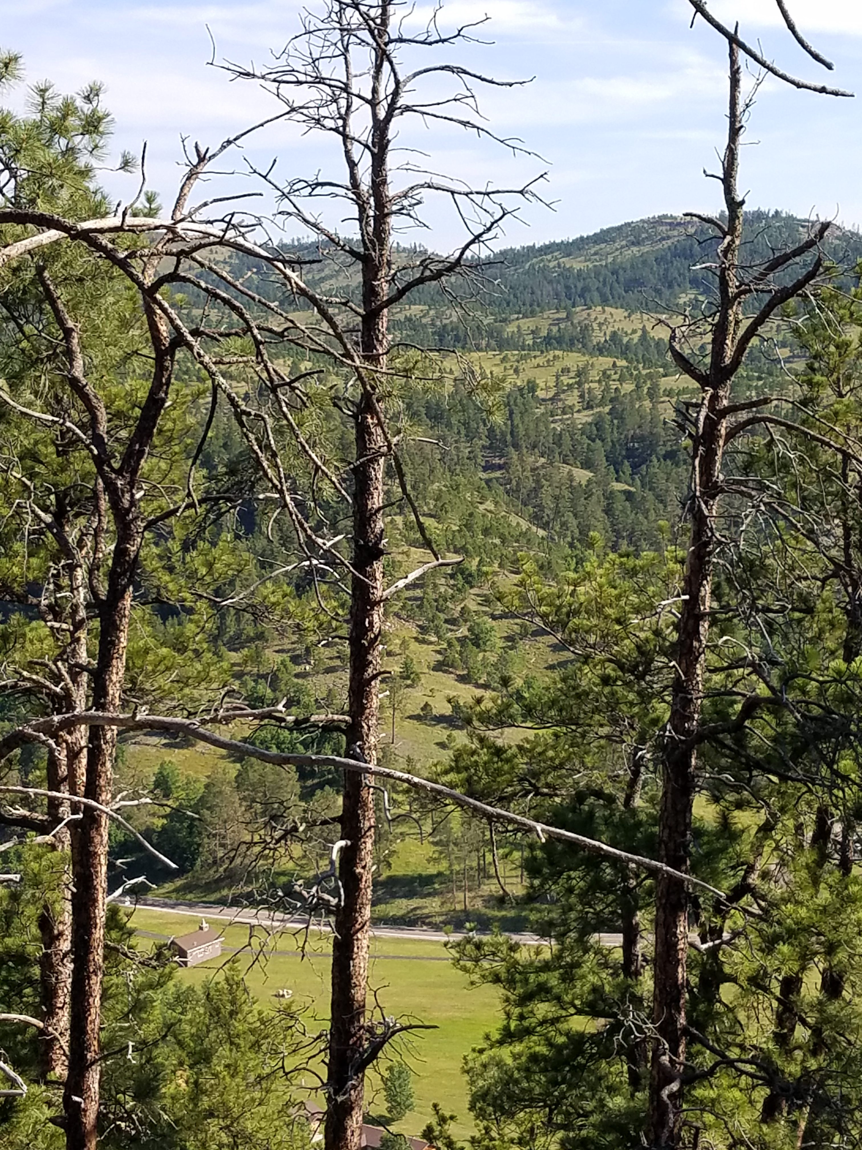
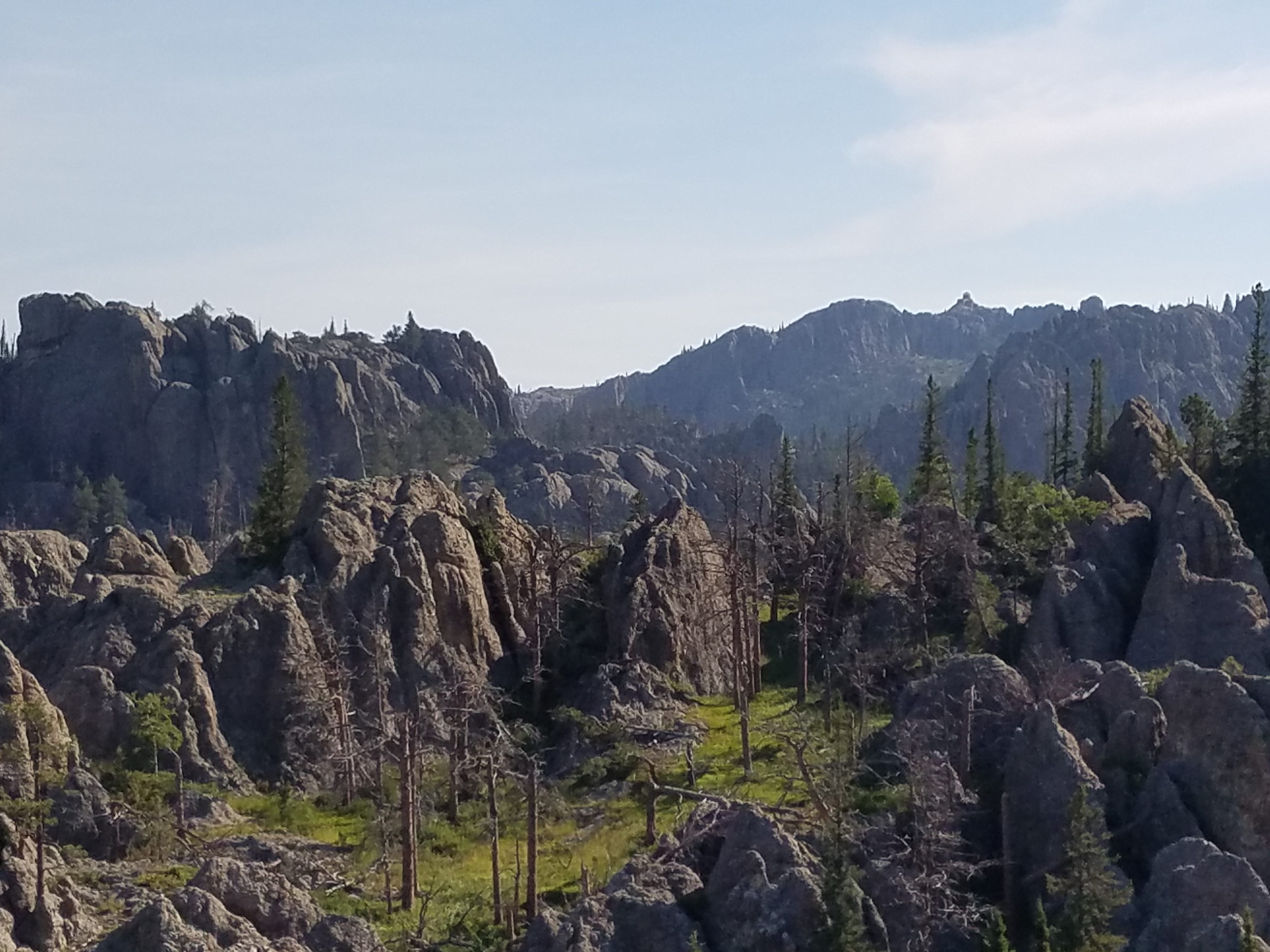
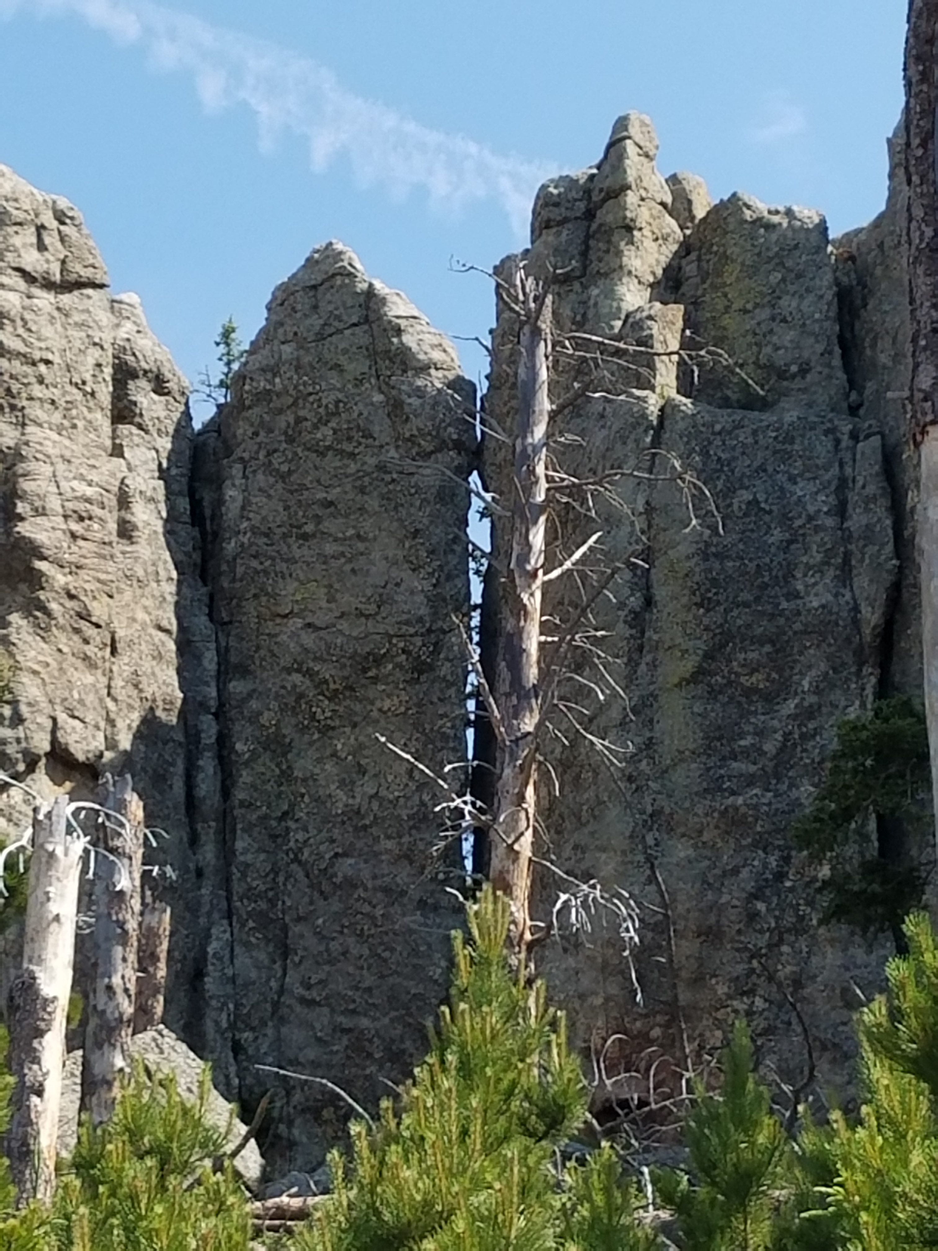
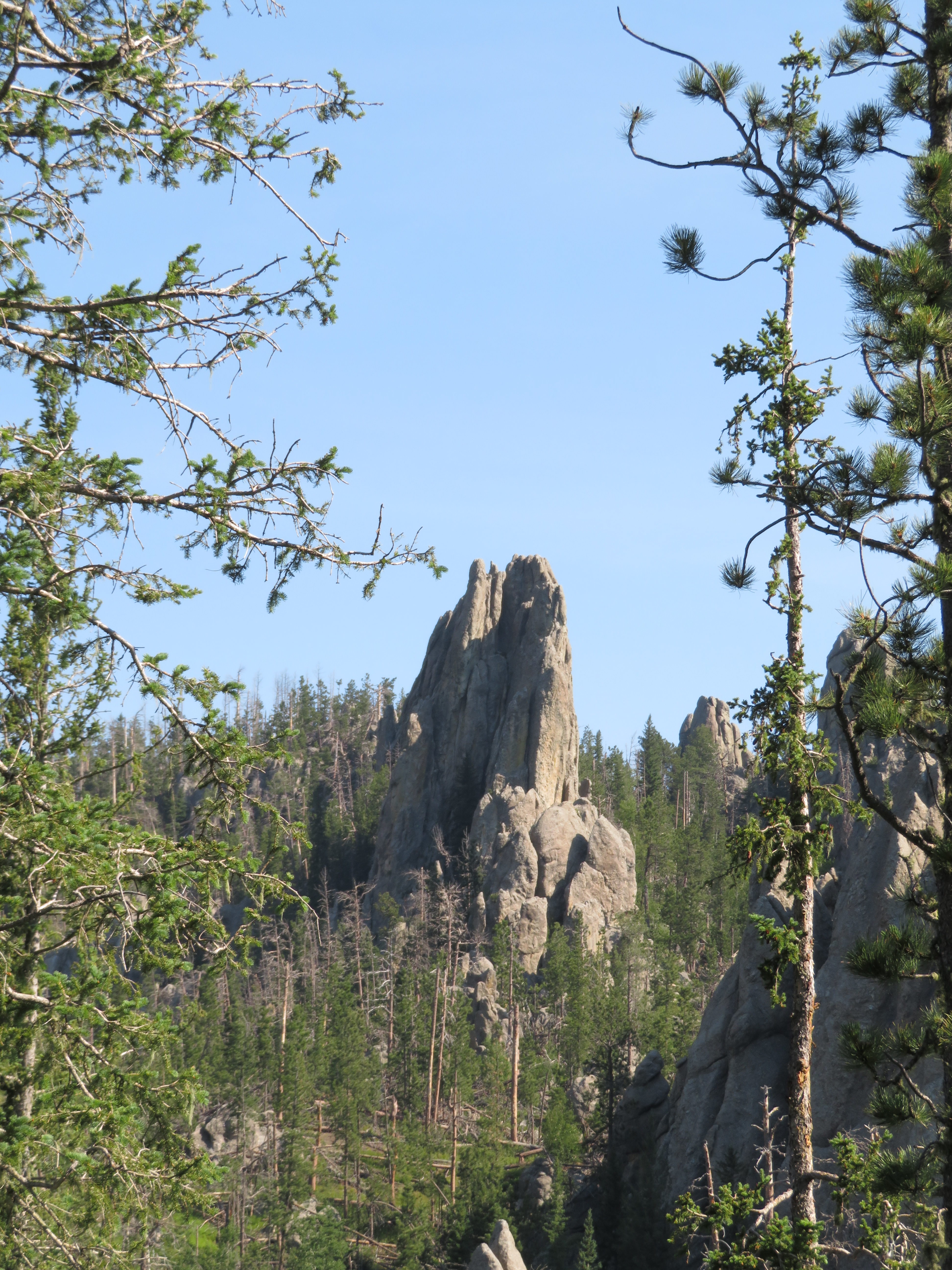
The Cairns Trail wasn’t included in the Park’s brochure, but a ranger told us we could find it above the outdoor education center. We neglected to take a picture of the cairns (stacks of rocks) that marked the trail. But we can show you what we saw from the one-mile trail:
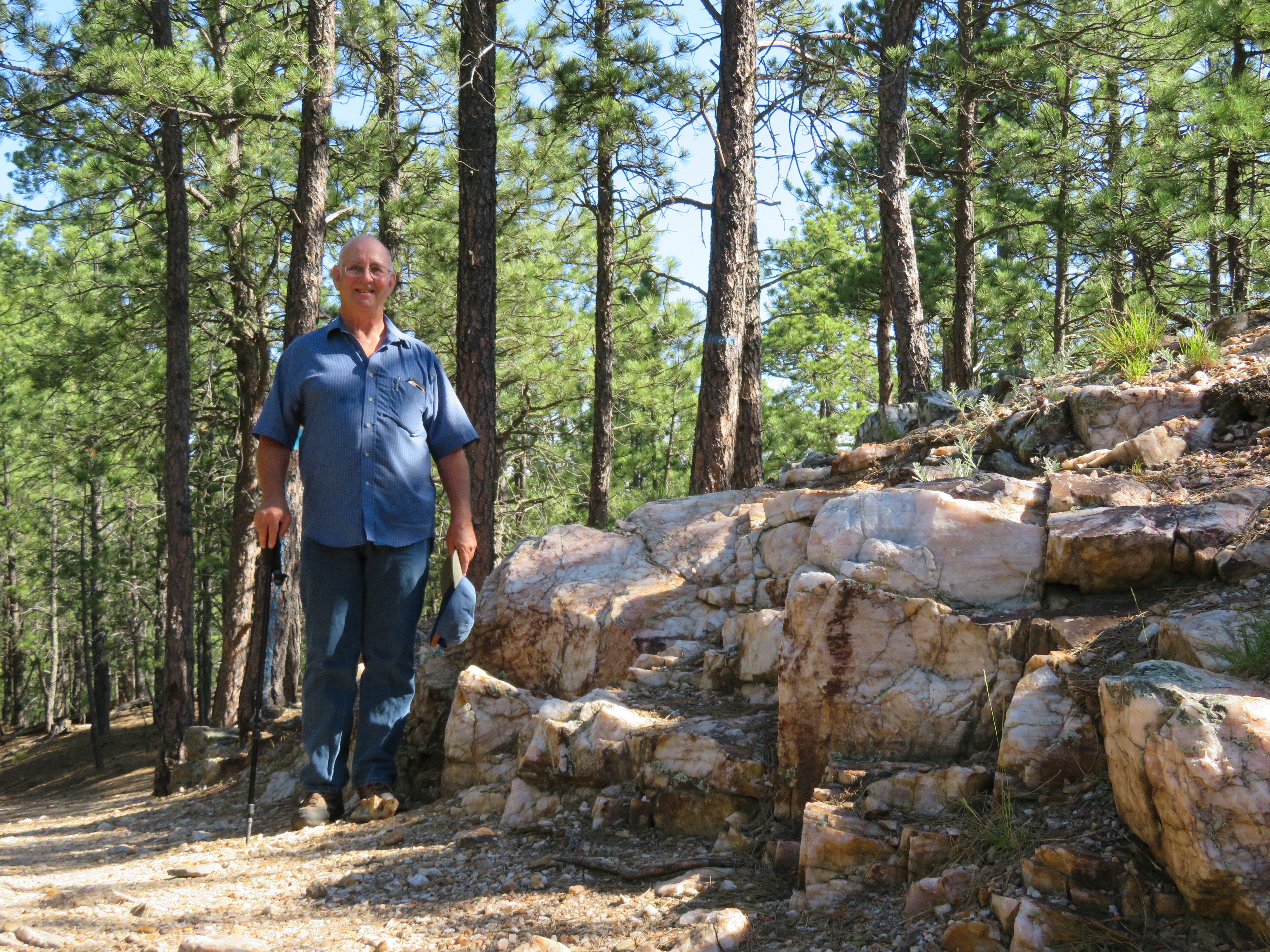
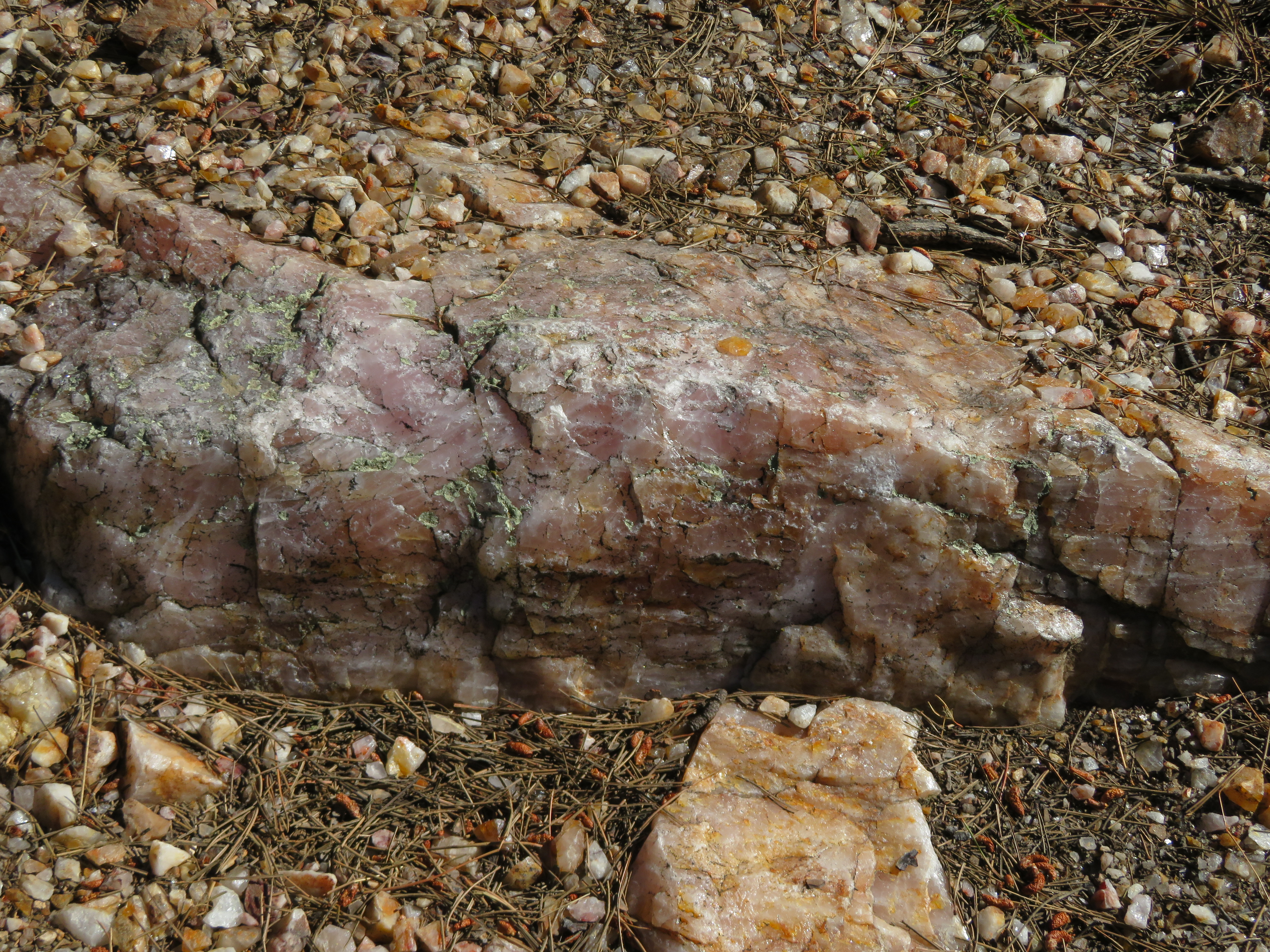
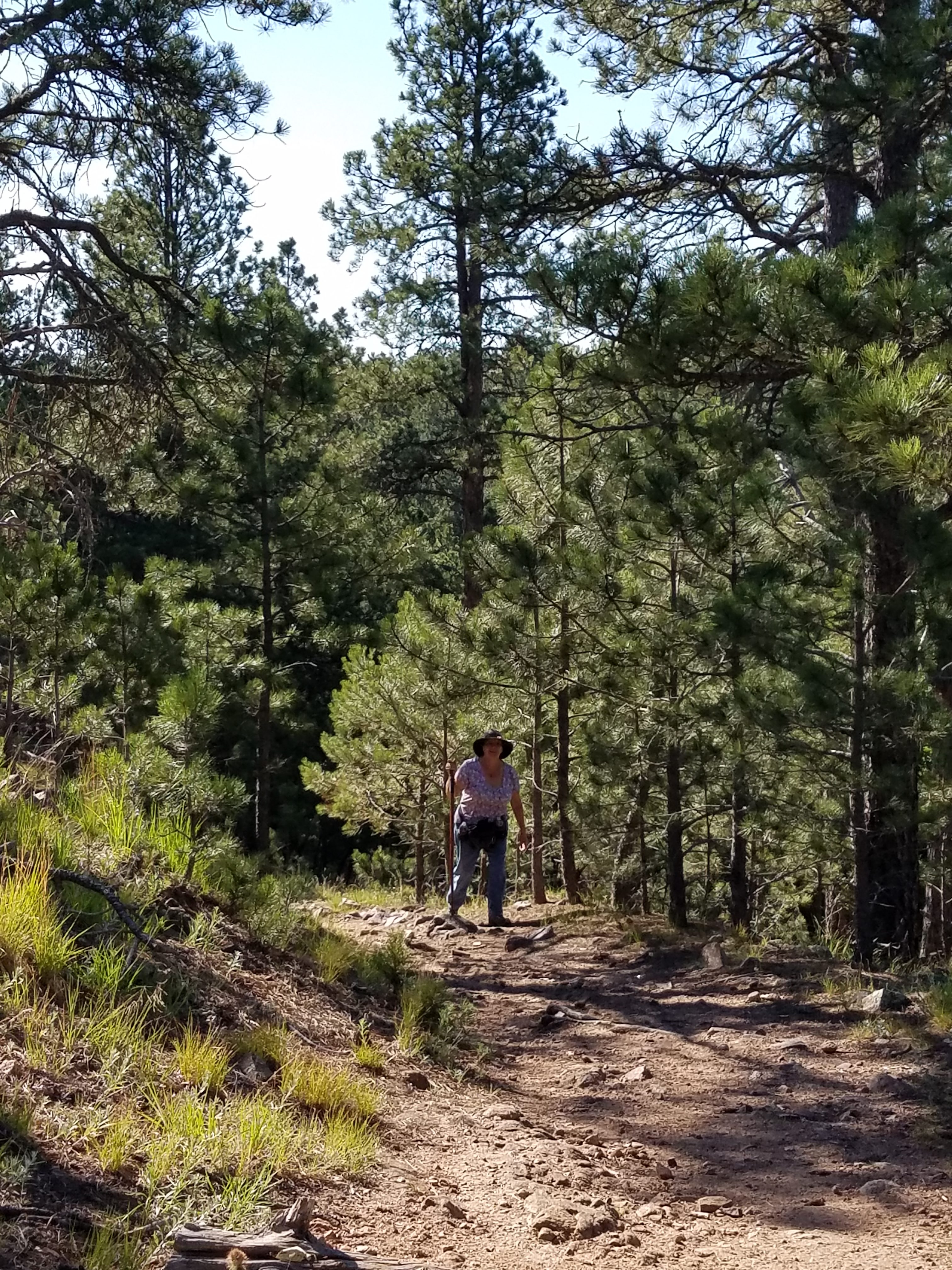
Lovers Leap Trail
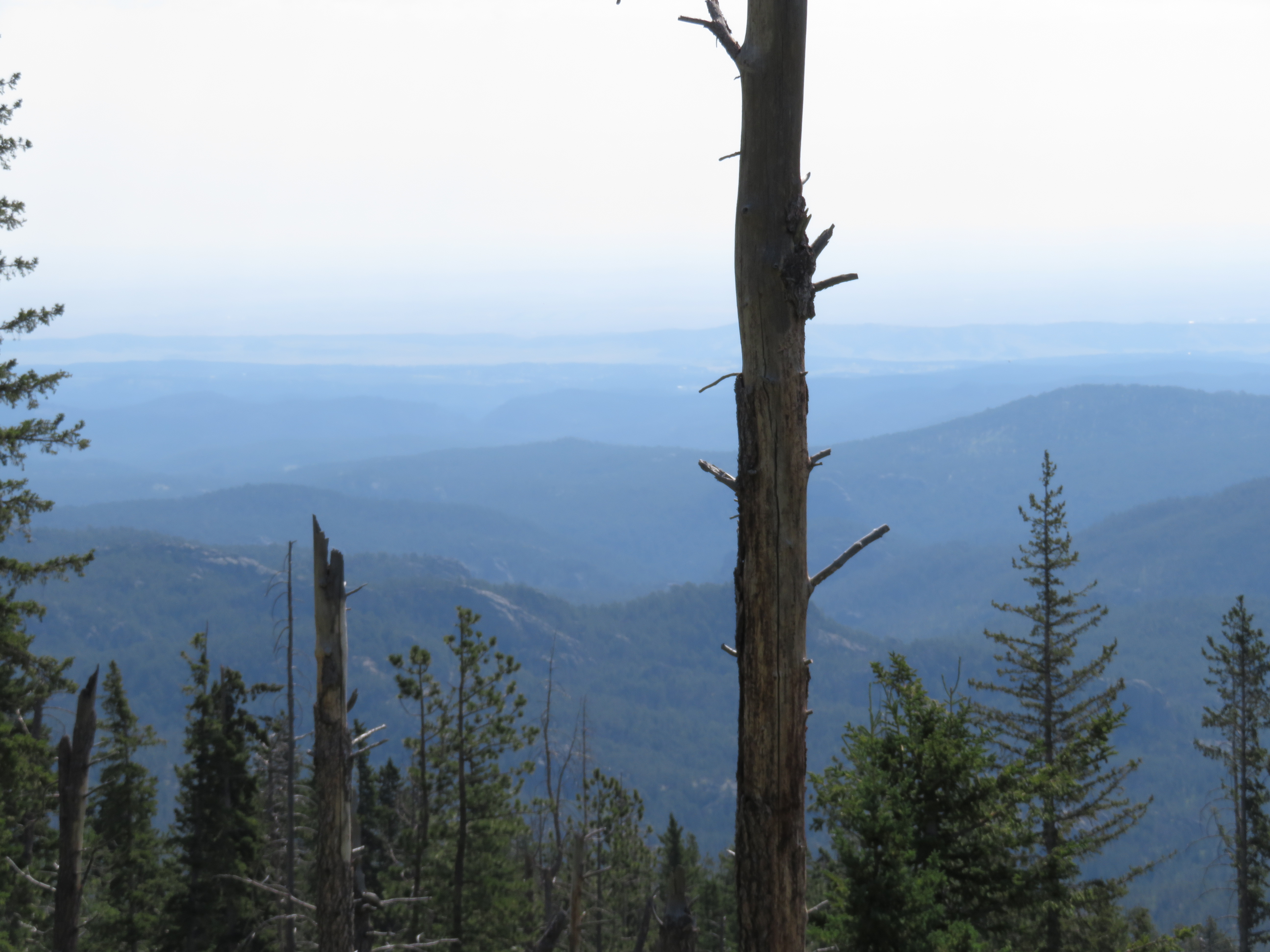
We didn’t identify a likely place from which lovers might leap (or have leaped) on this three-mile trail, but we enjoyed pleasant vistas, walking along a stream, and walking on sparkly minerals.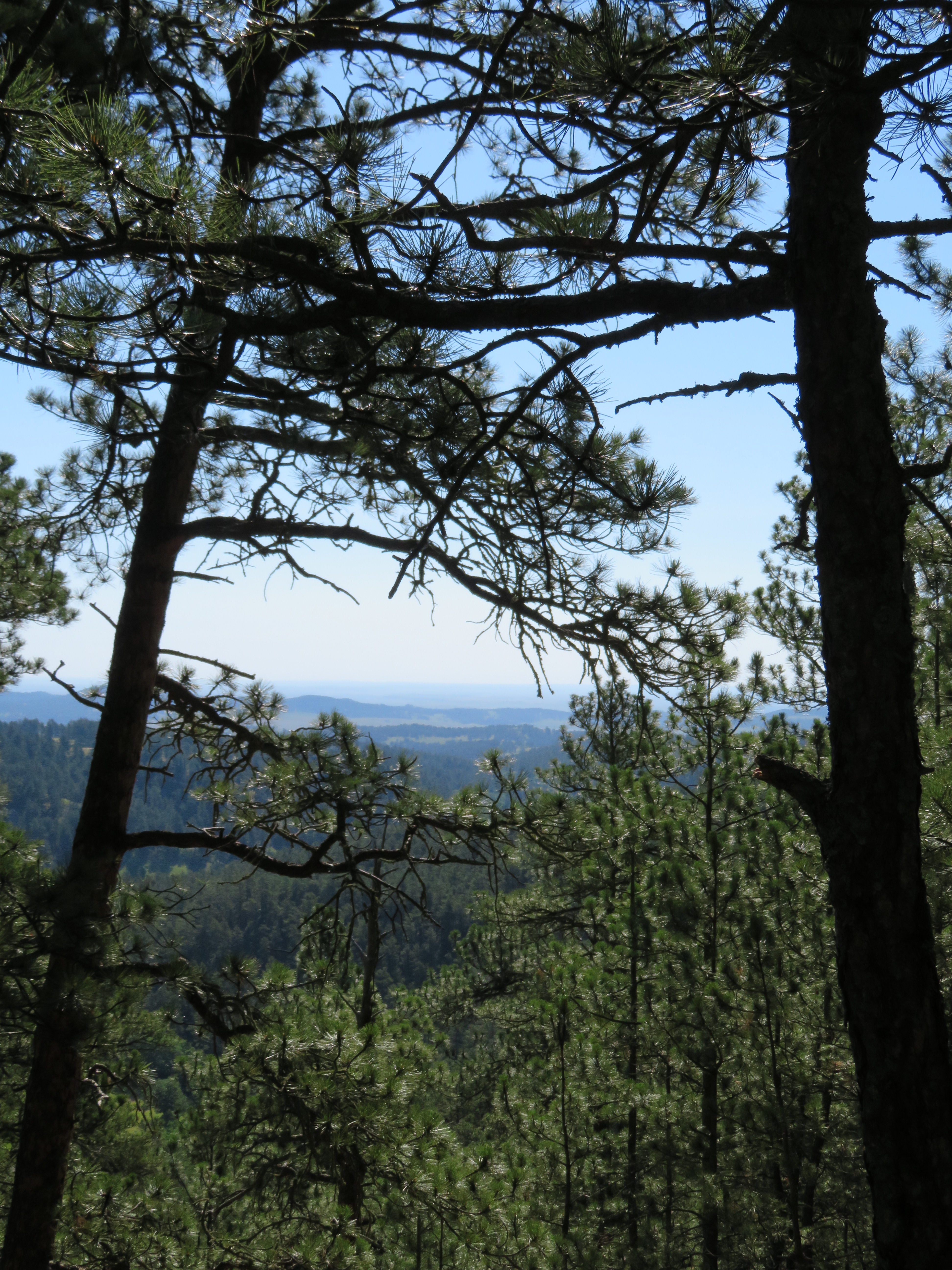
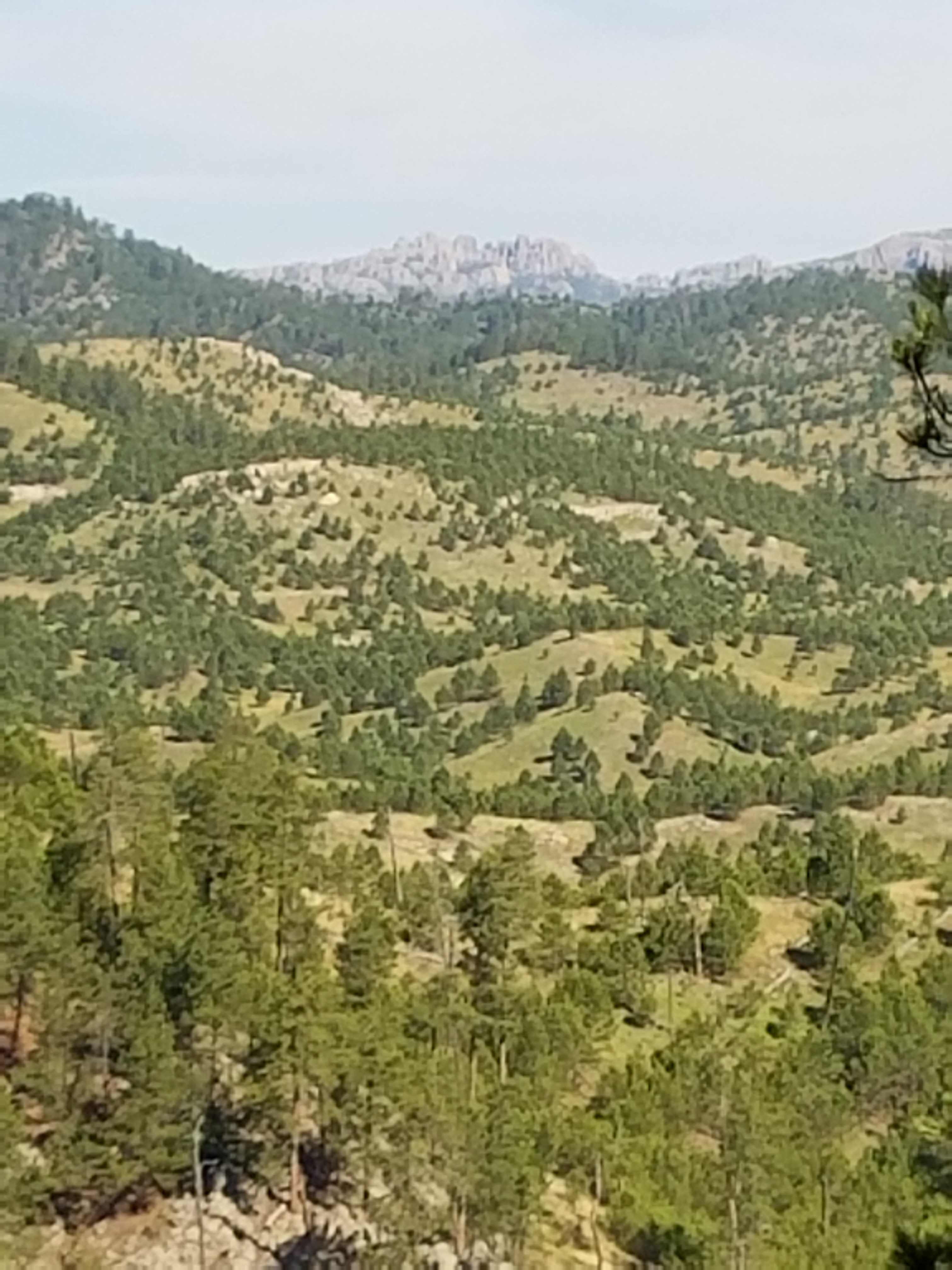
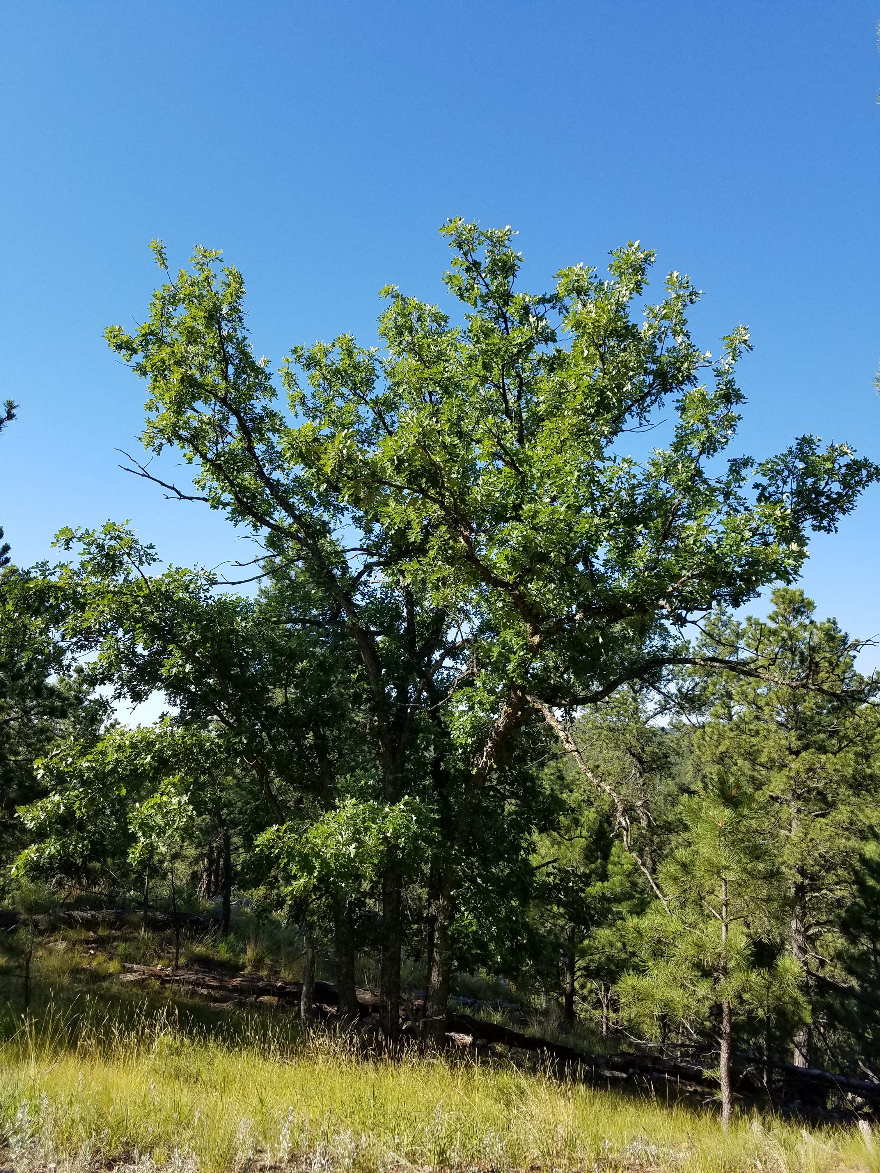
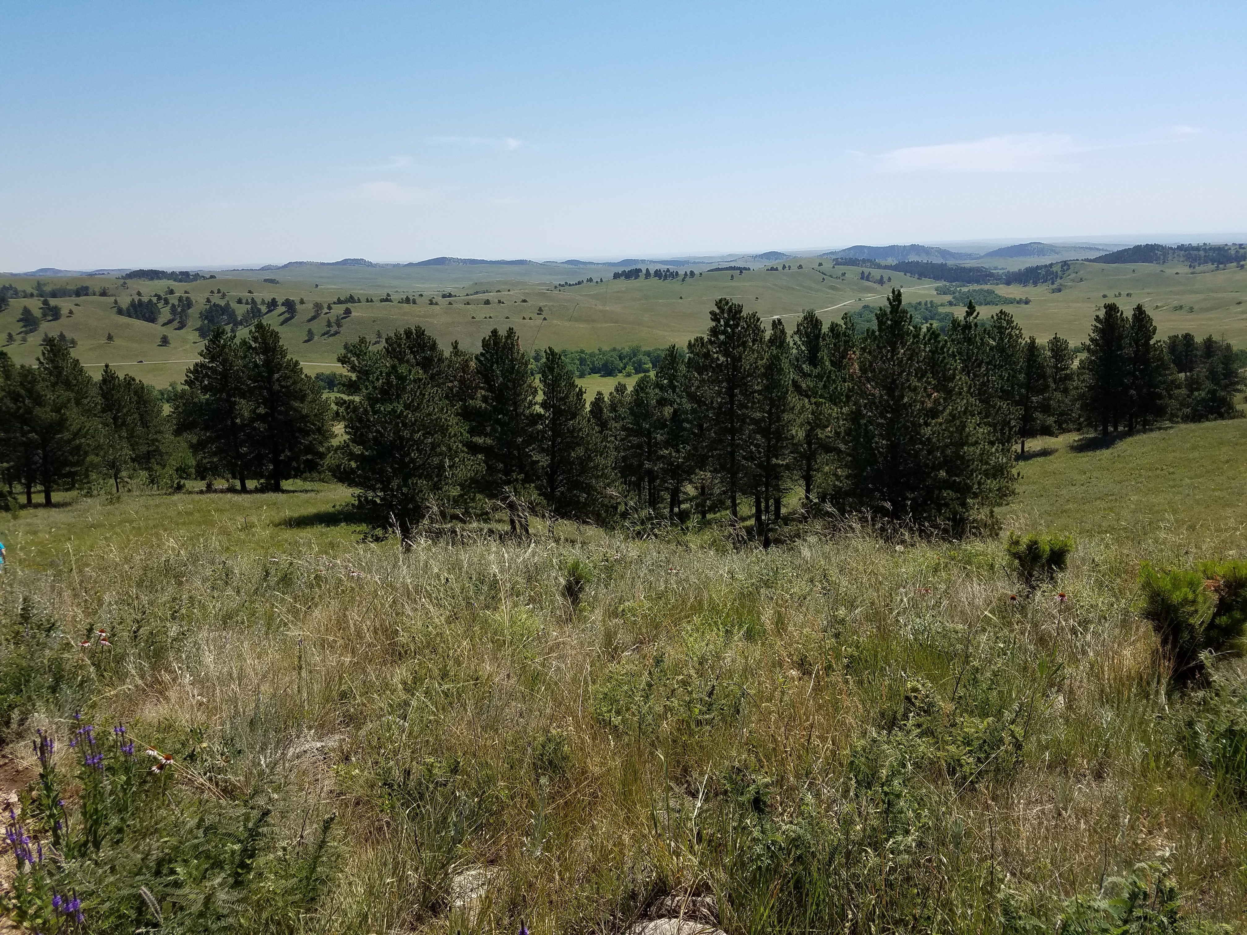
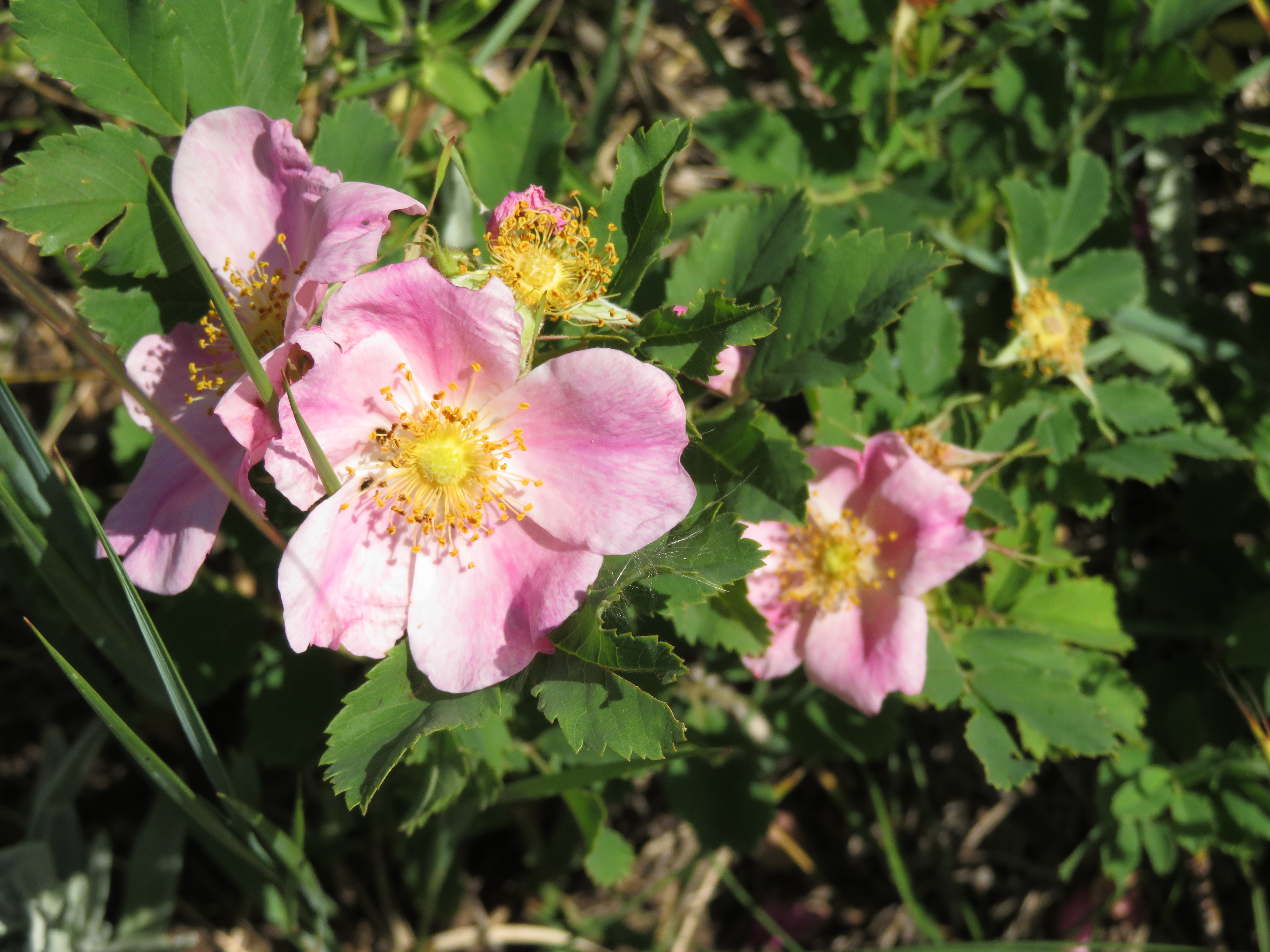
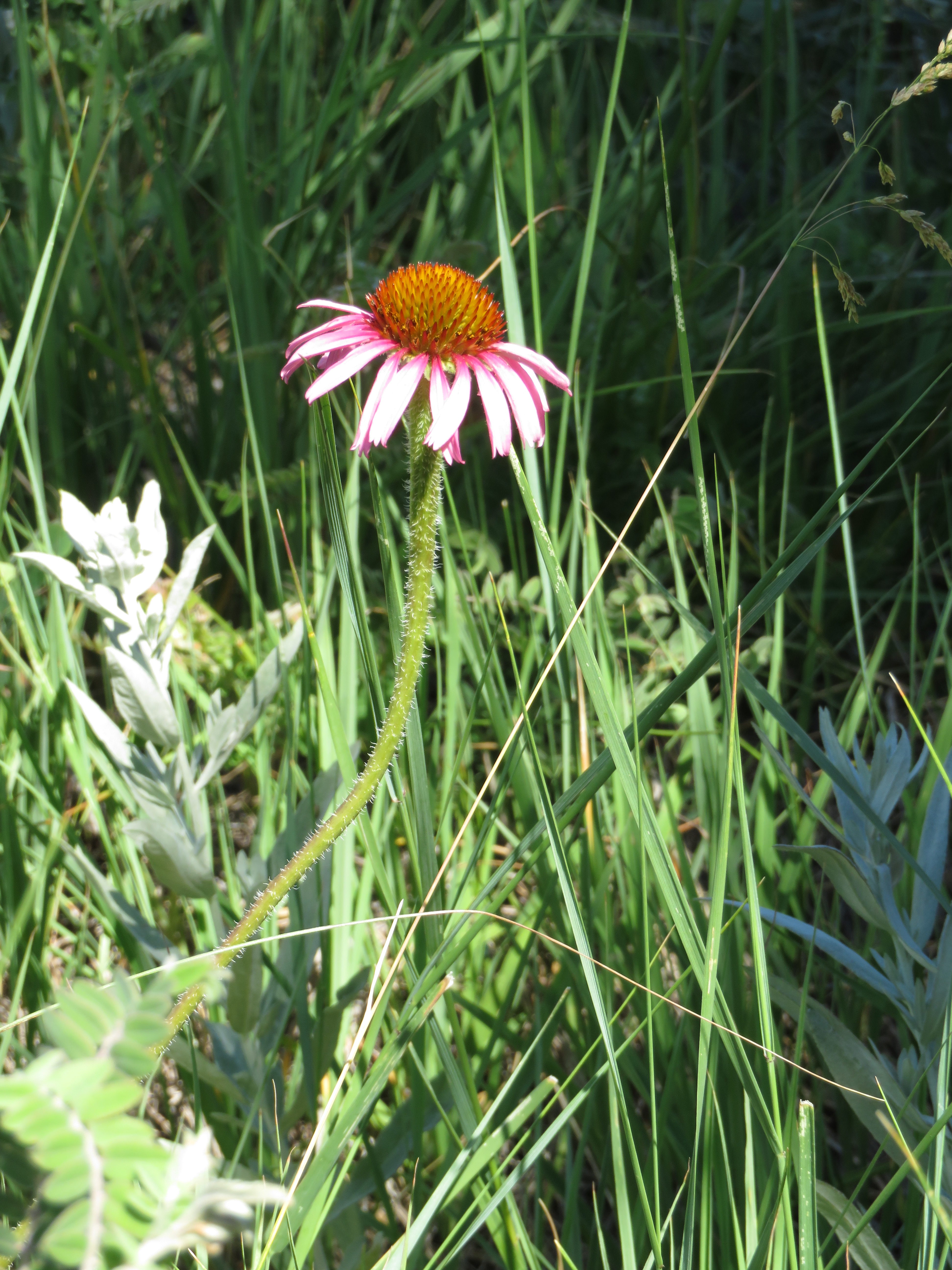
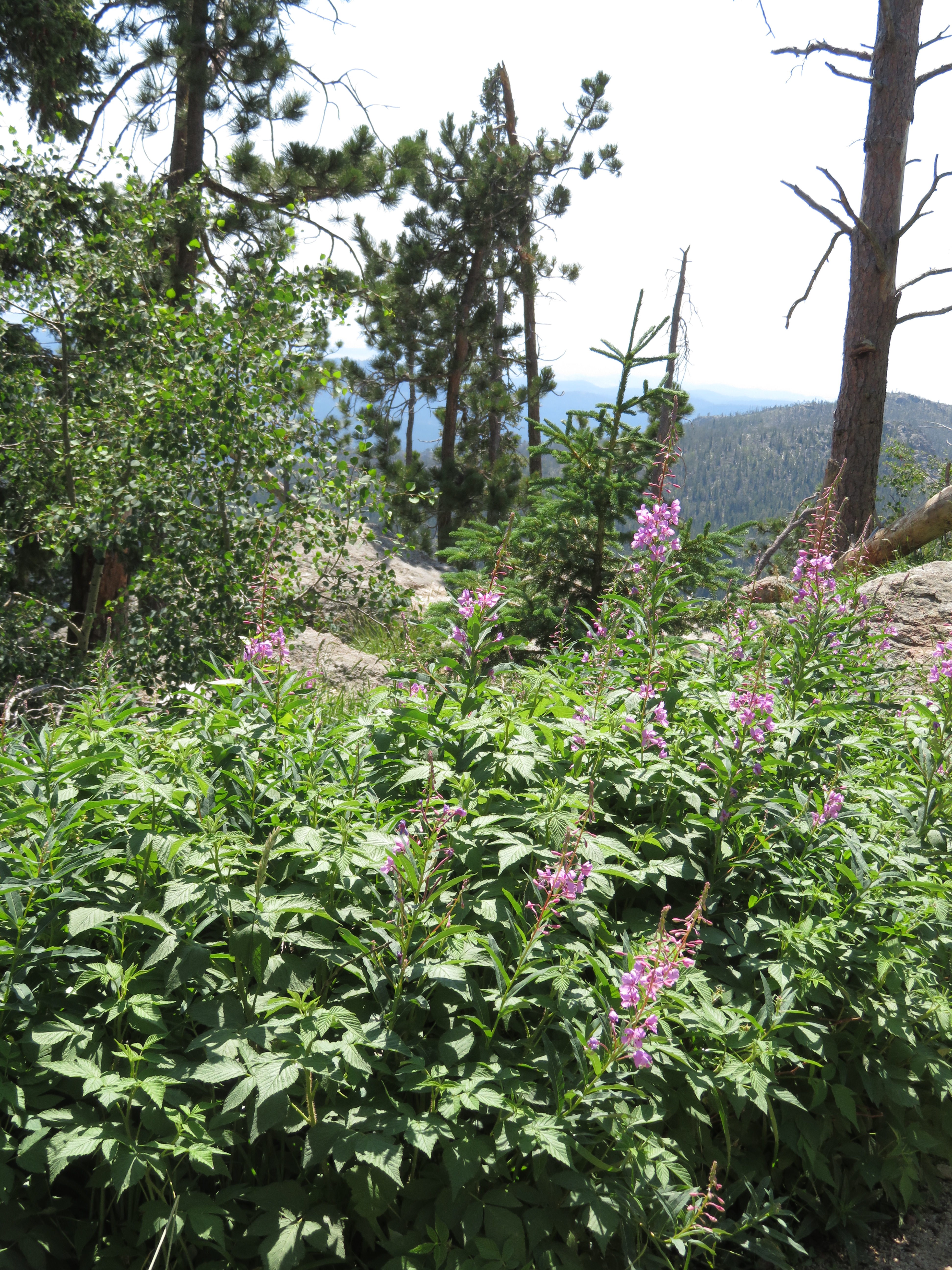
Prairie Trail
This trail had several elements we expected: Grasses, wildflowers, and grand vistas. We didn’t expect to start and end along a shady creek but were grateful for for the variety in this three mile walk.
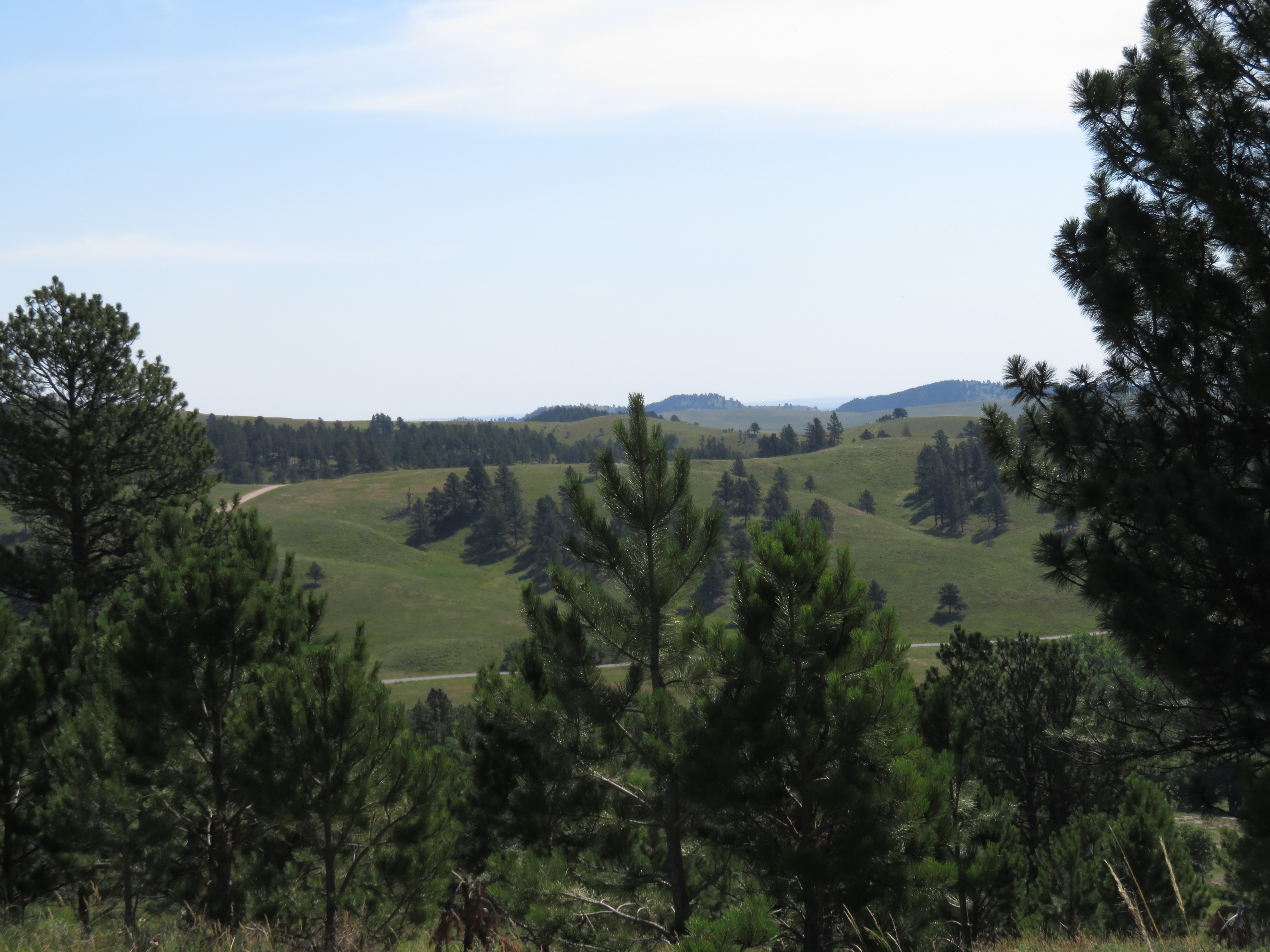
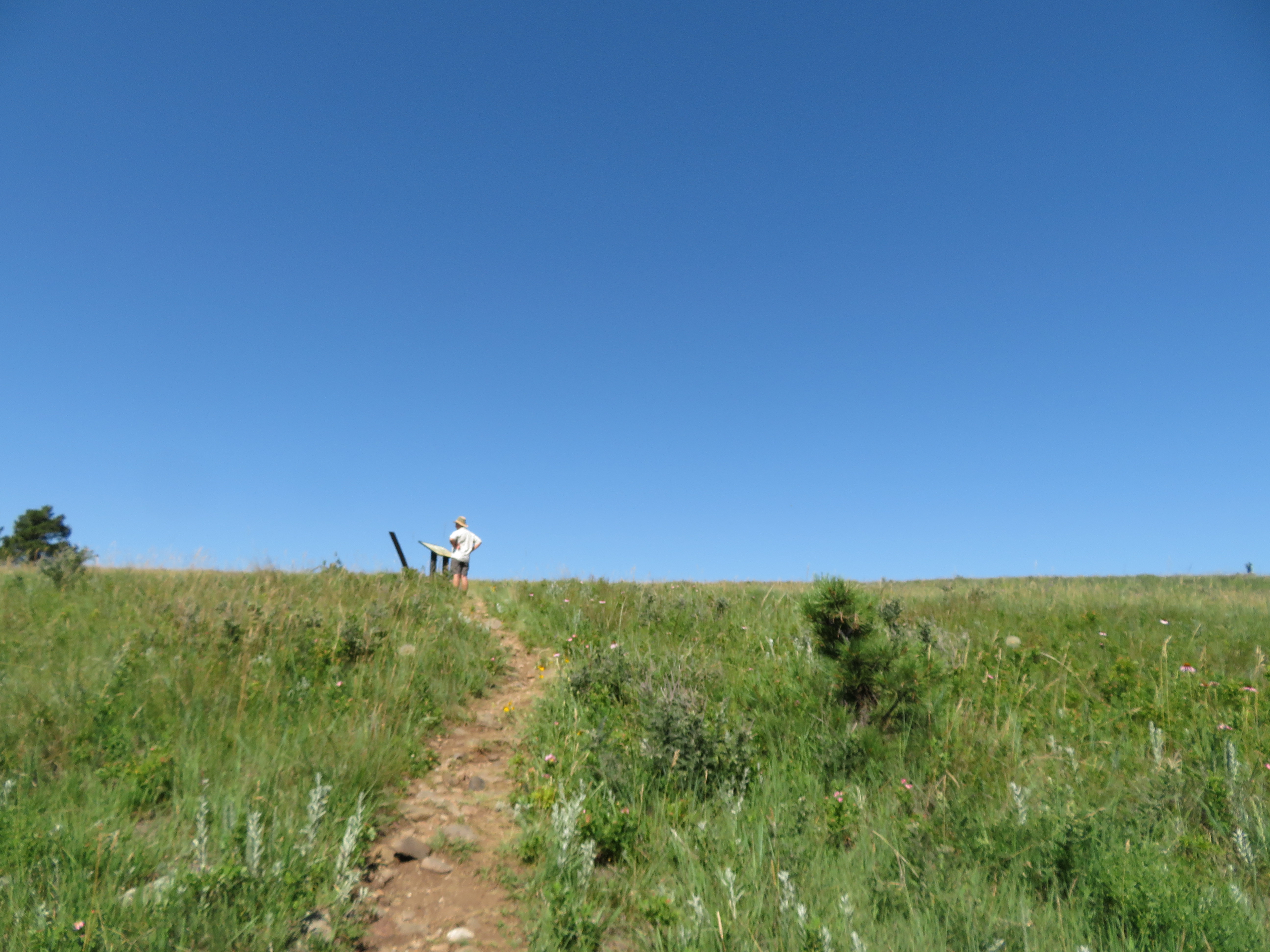
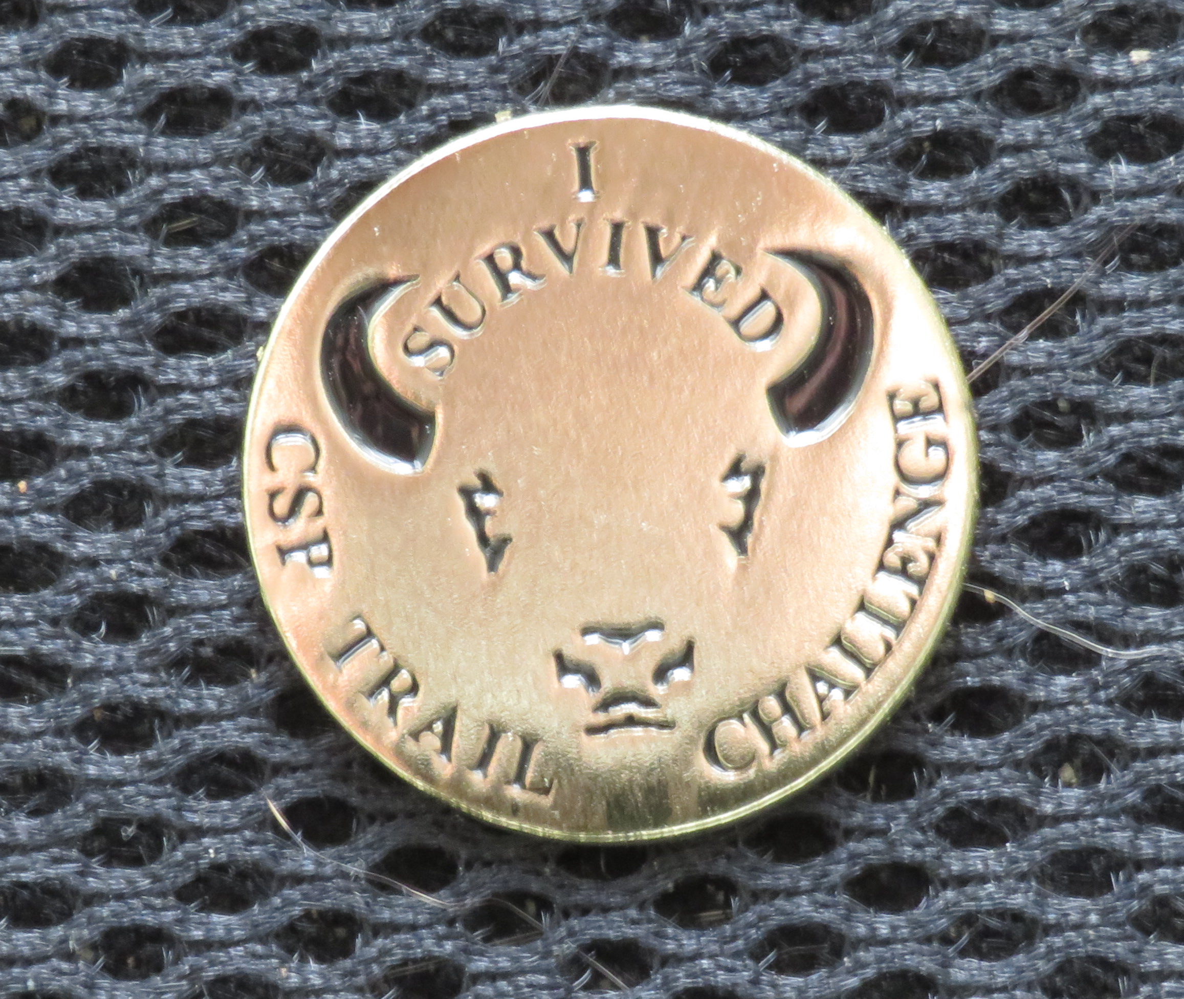
The Prairie Trail completed our challenge.
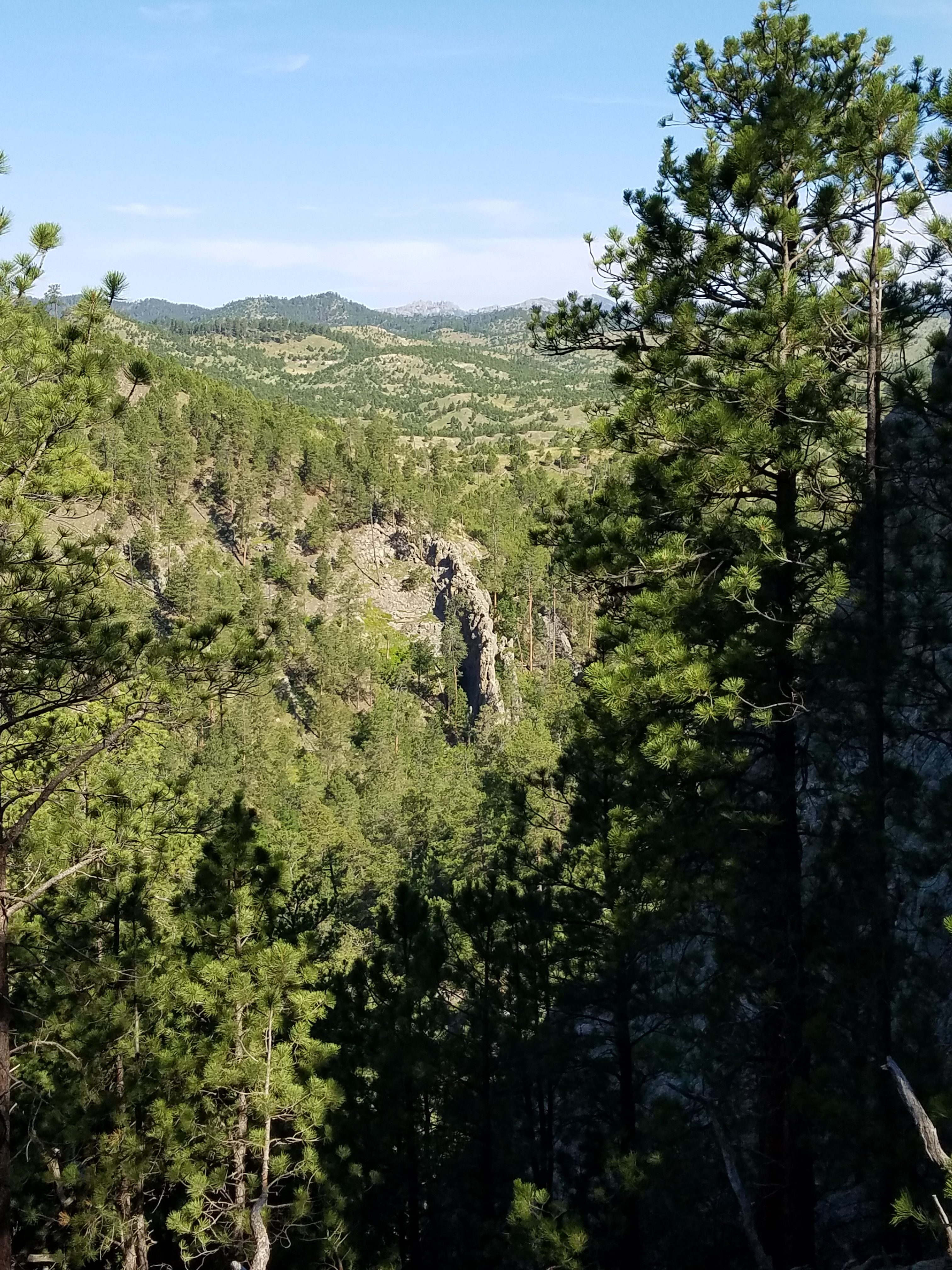
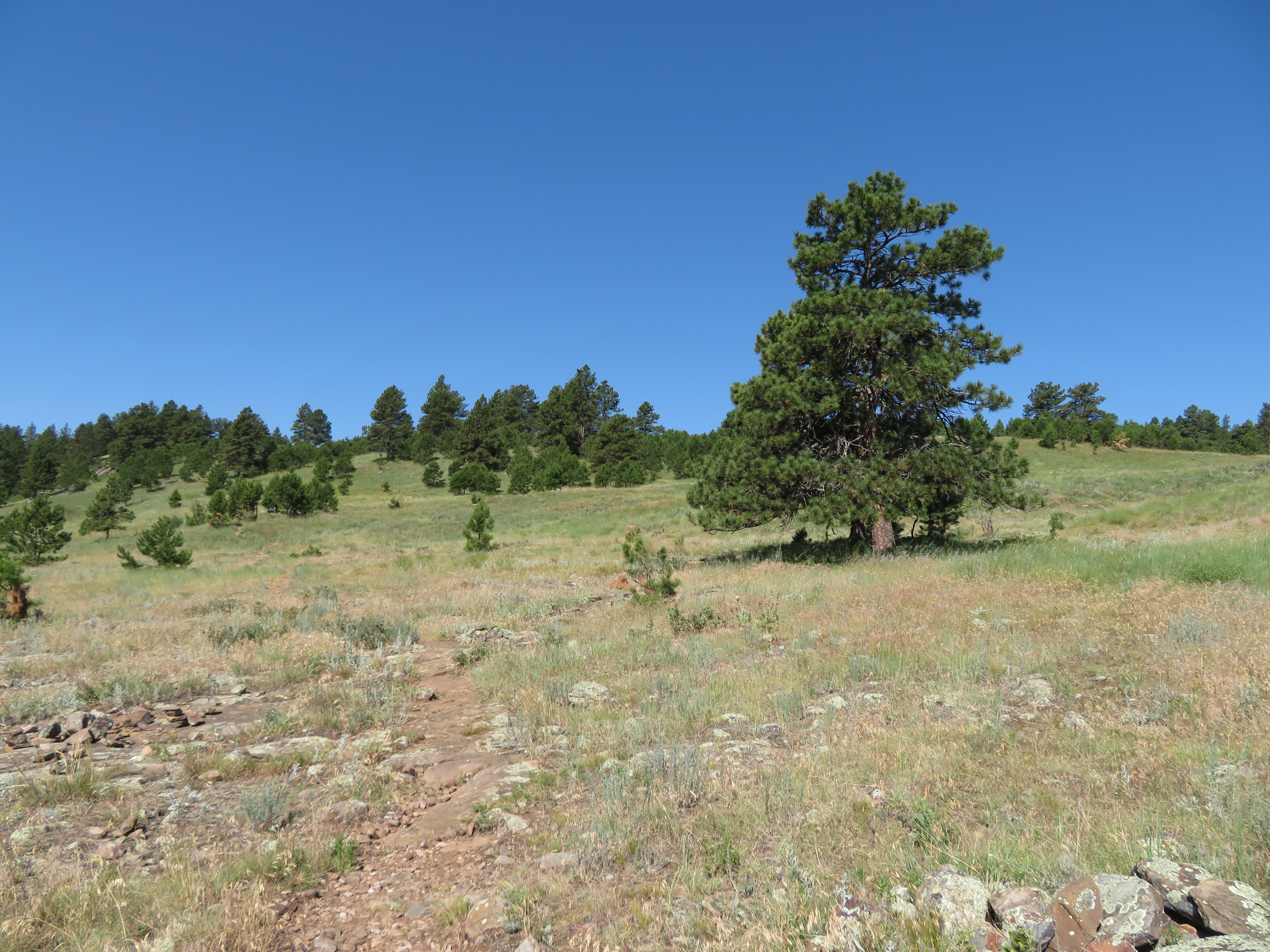
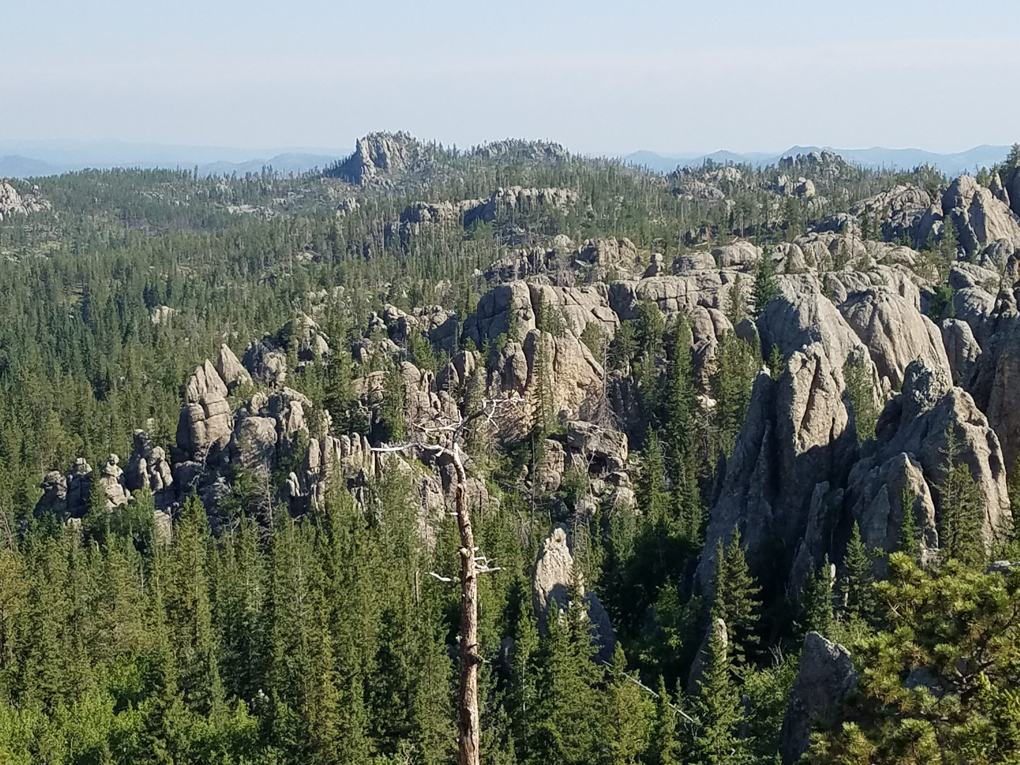
We decided to treat ourselves to Black Elk Peak, about seven miles round trip.
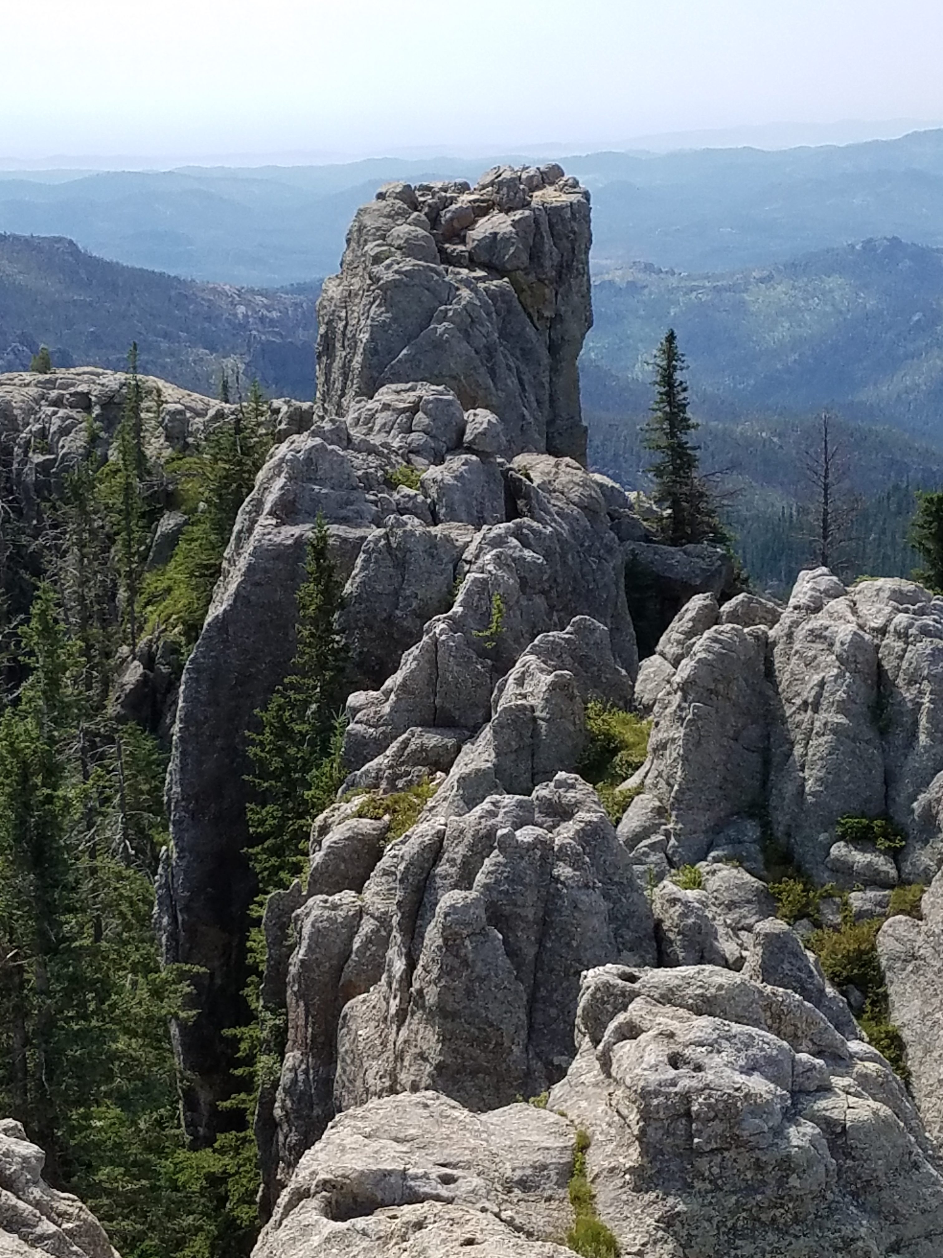
Black Elk Peak
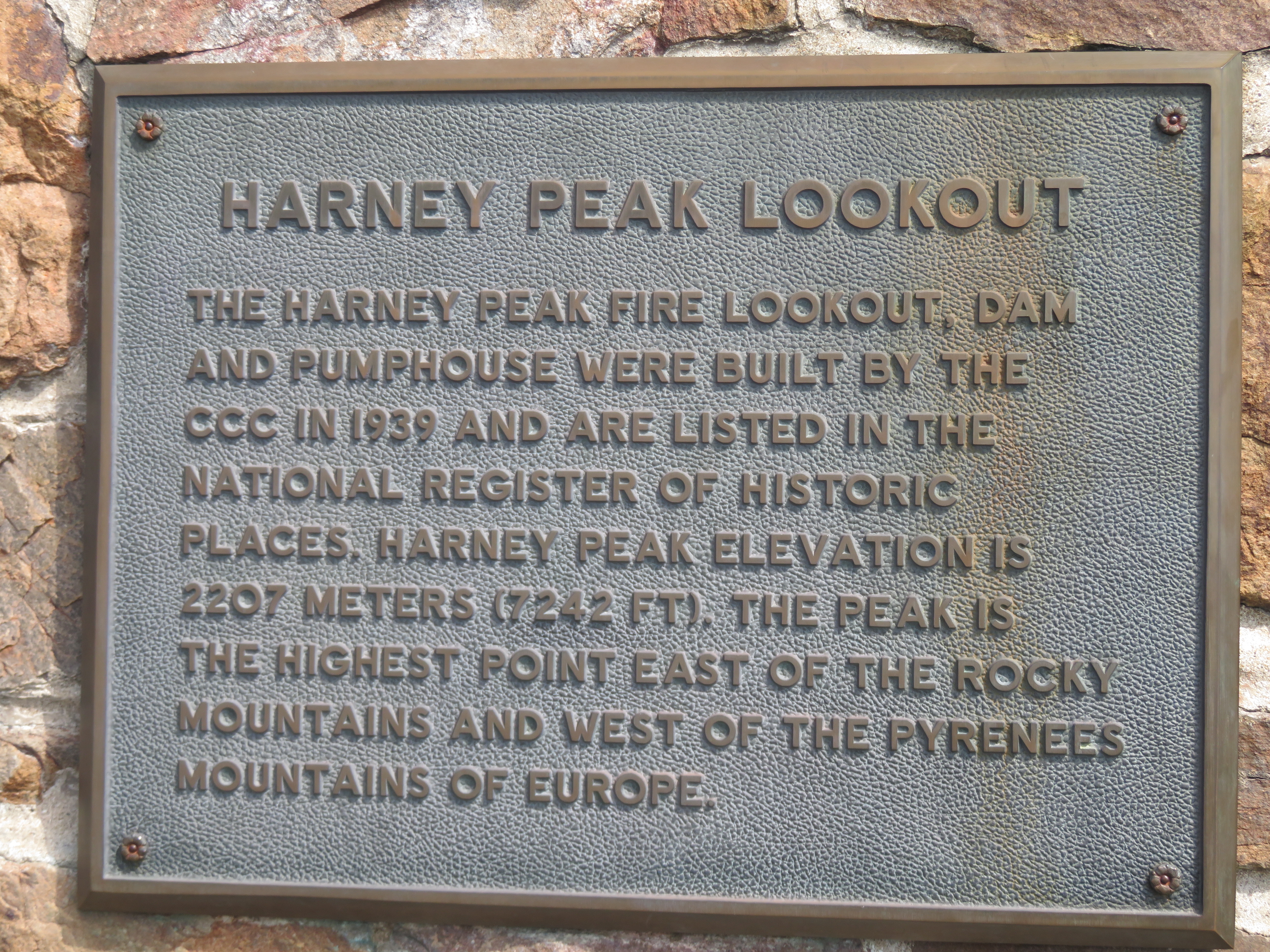
At 7,244 feet, Black Elk Peak is the highest point between the Rockies and the Pyrenees Mountains in Europe. It is named for a Lakota Sioux medicine man who received his great vision on the mountain at nine years old. “I was standing on the highest mountain of them all, and round about beneath me was the whole hoop of the world. And while I stood there I saw more than I can tell and I understood more than I saw; for I was seeing in a sacred manner the shapes of all things in the spirit, and the shape of all shapes as they must live together like one being.”
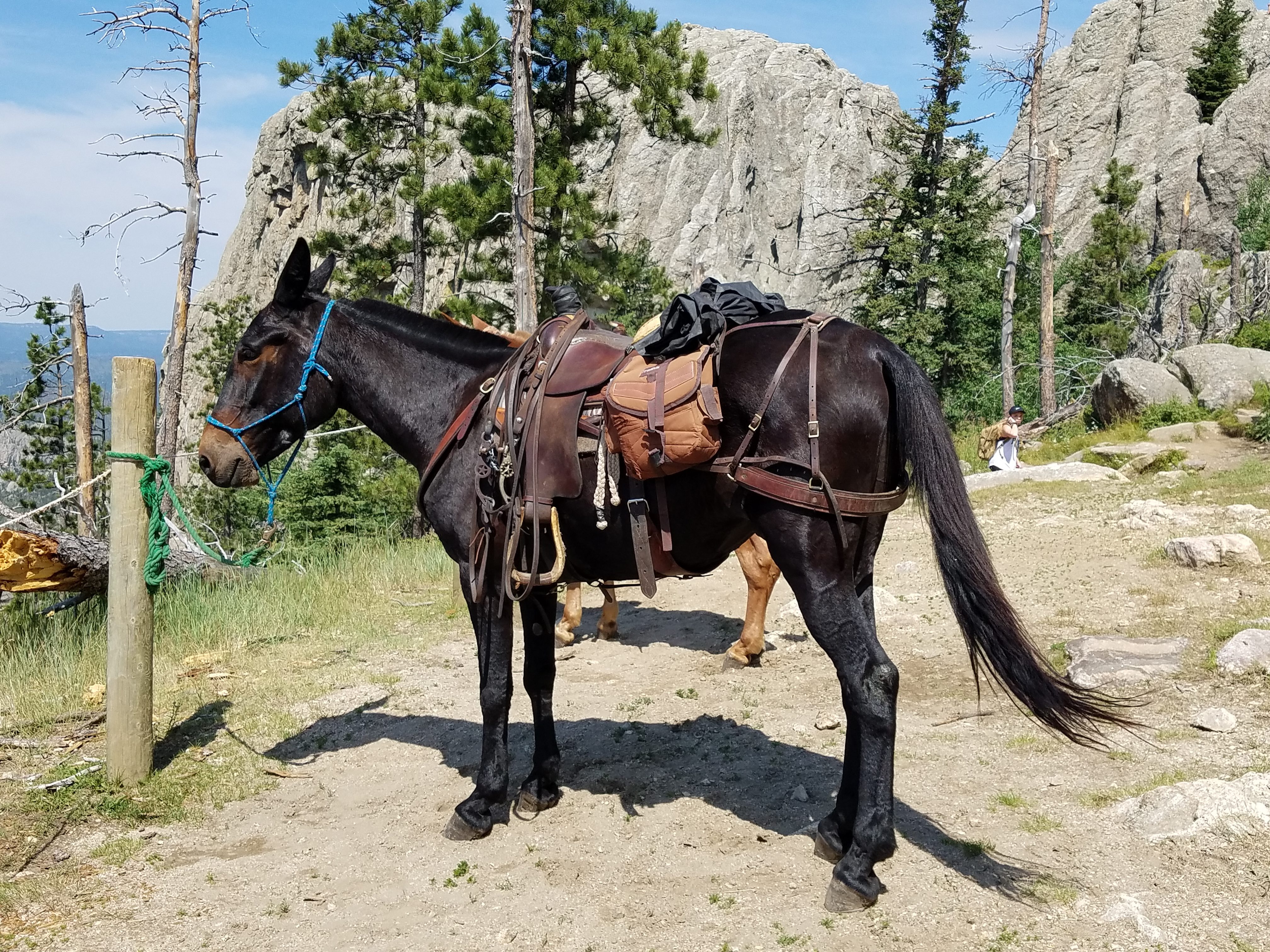 These mules didn’t mind the climb. Years ago burros would carry tourists up to this spot. The Park no longer arranges this transportation and the burros are free-ranging on Wildlife Loop where they are known as the Begging Burros. They are one species of park wildlife the public is not forbidden to feed.
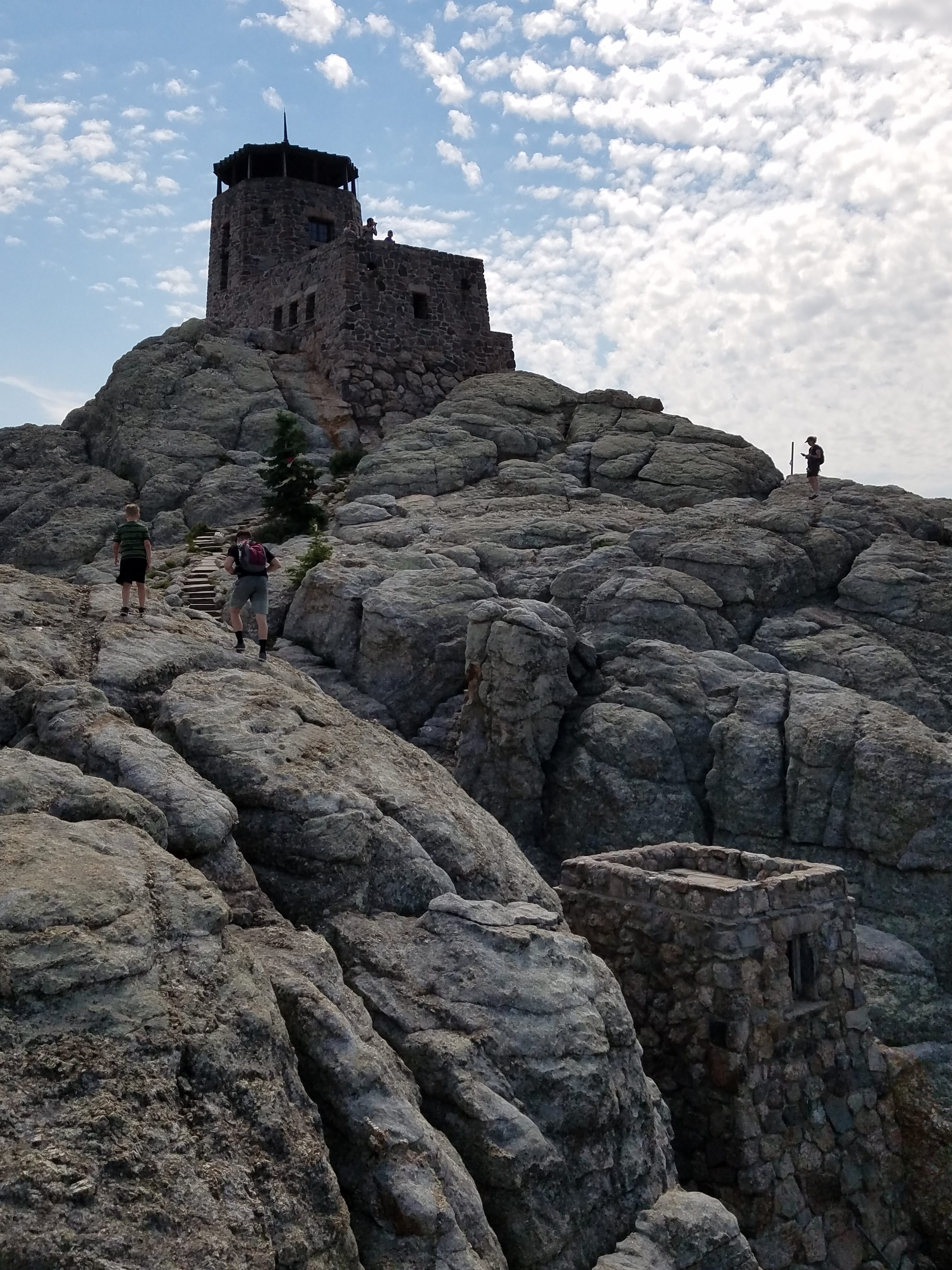
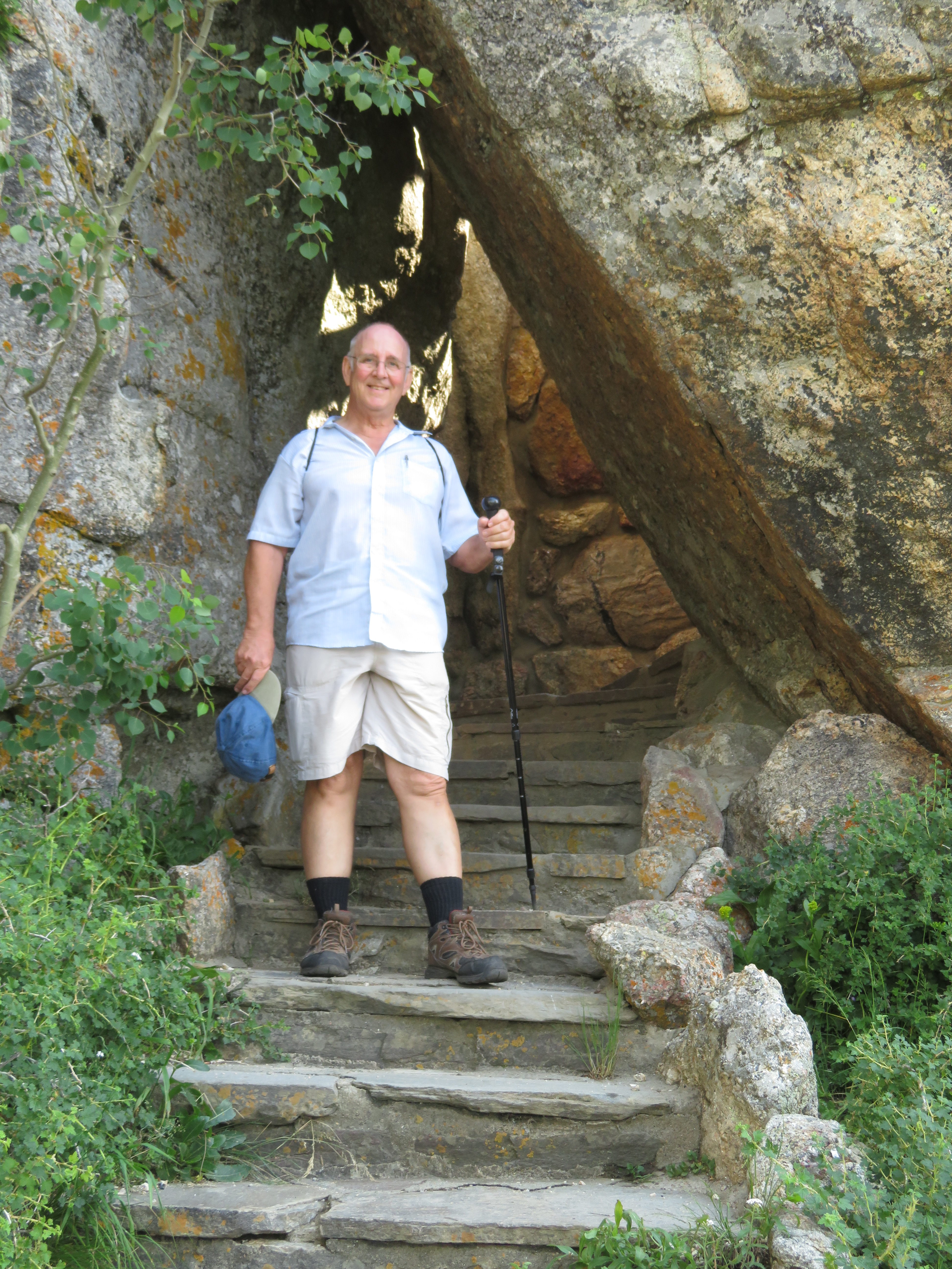 The Civilian Conservation Corps built a fire tower accessed by these steps in 1939. At that time, the peak was named for General William Harney, who led US troops against the Sioux. It was renamed for Black Elk in 2016.
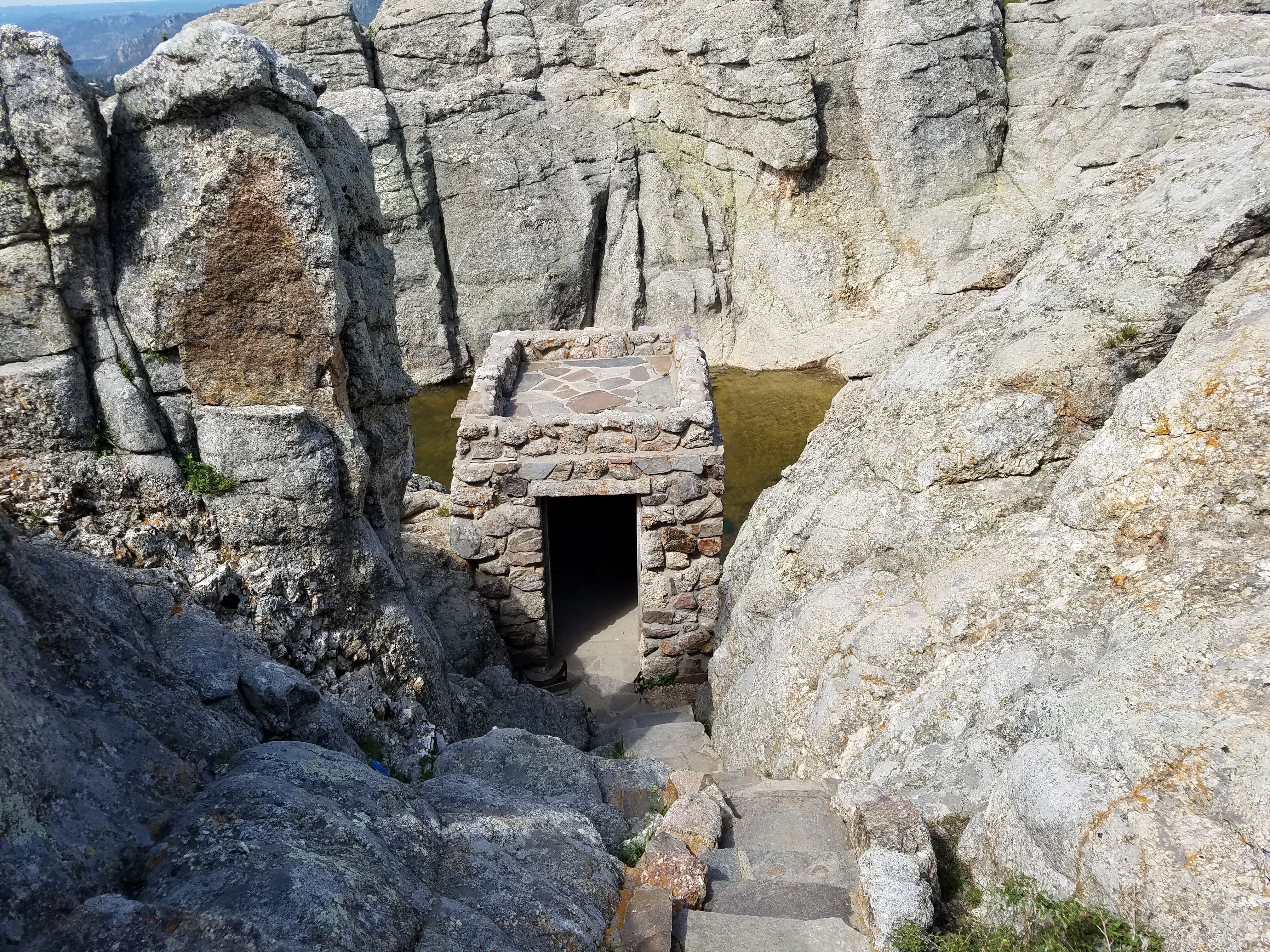
The pump house is shown above and the lake formed by the CCC-built dam is shown below.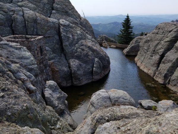
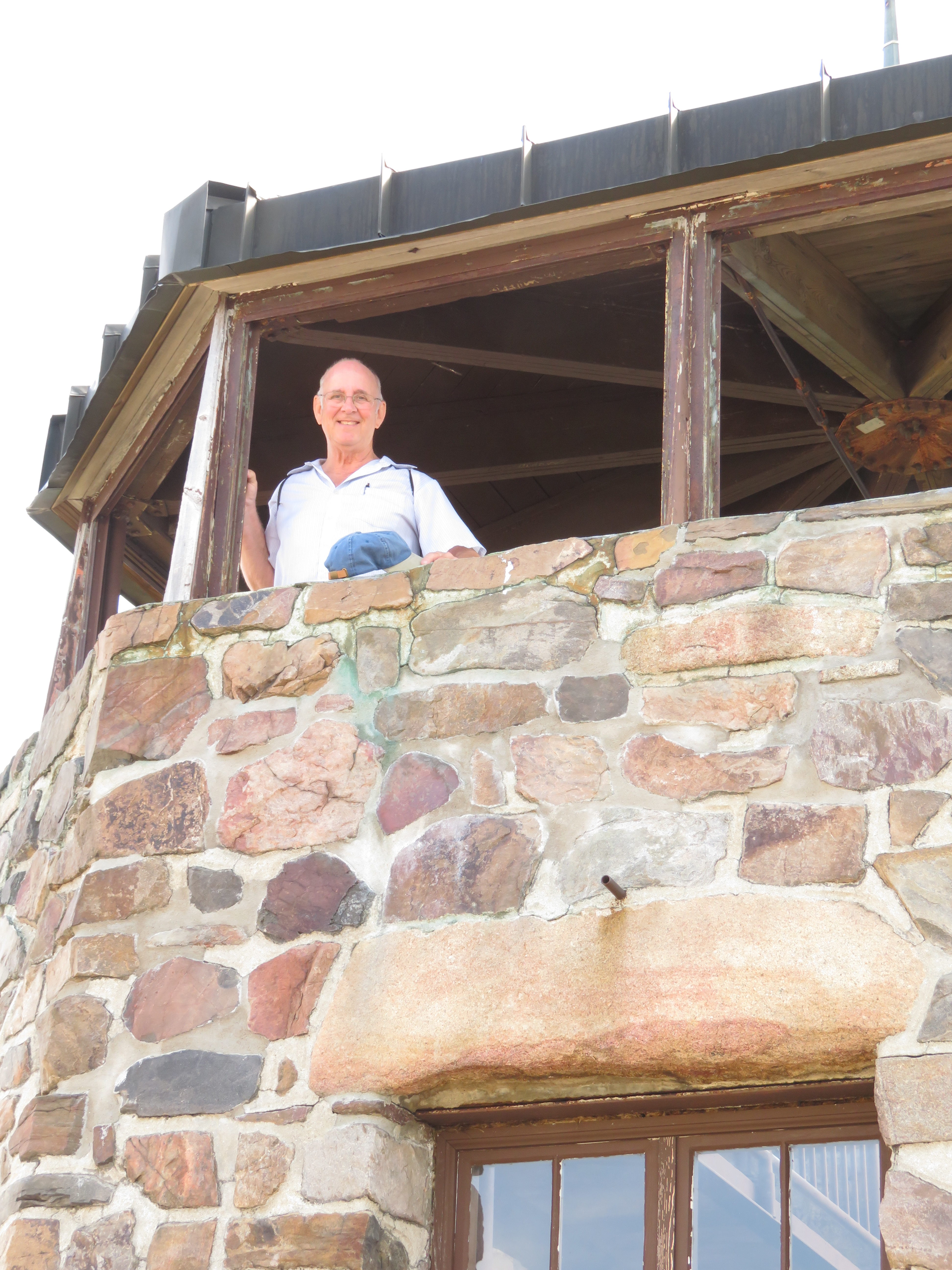
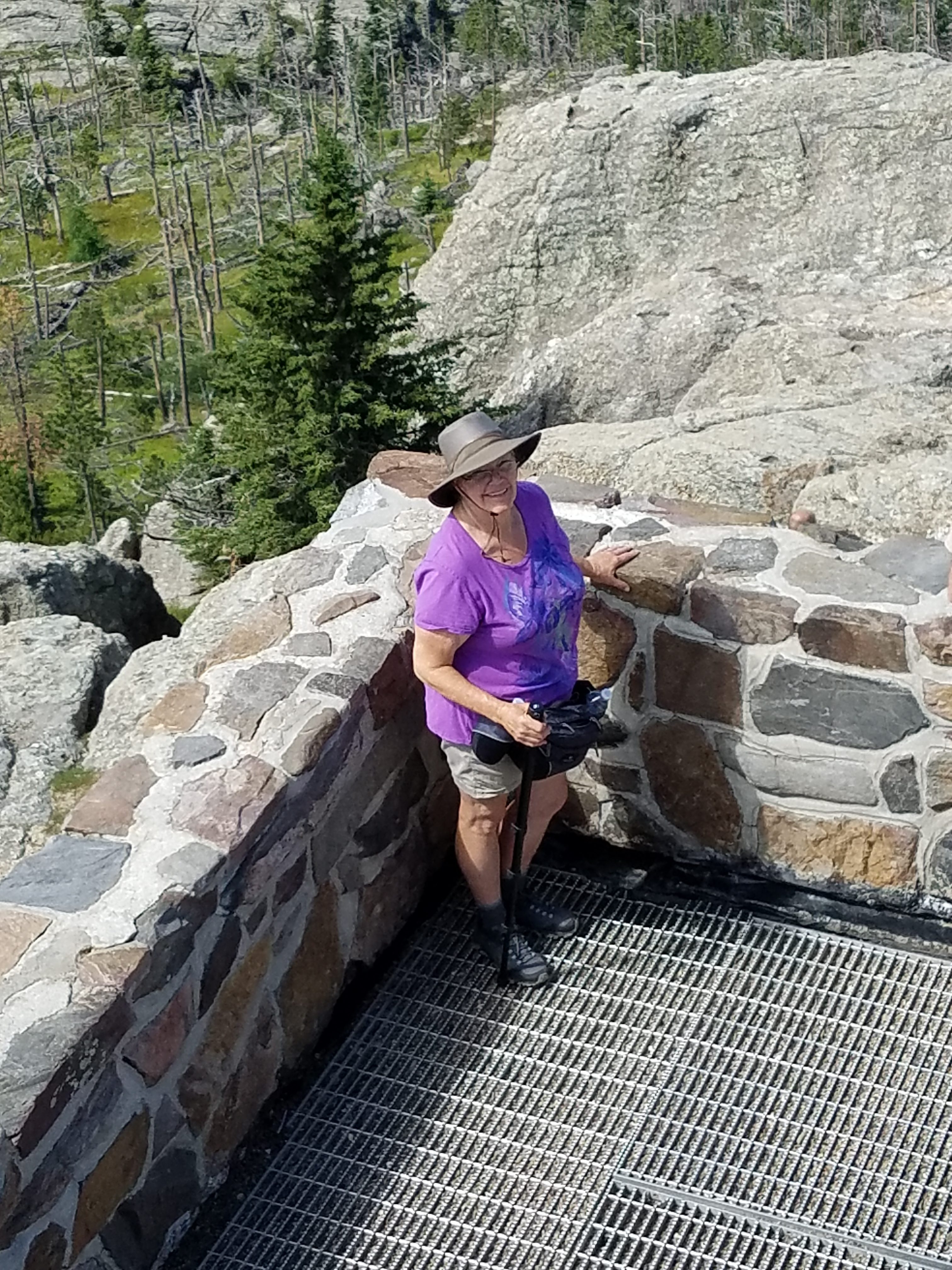
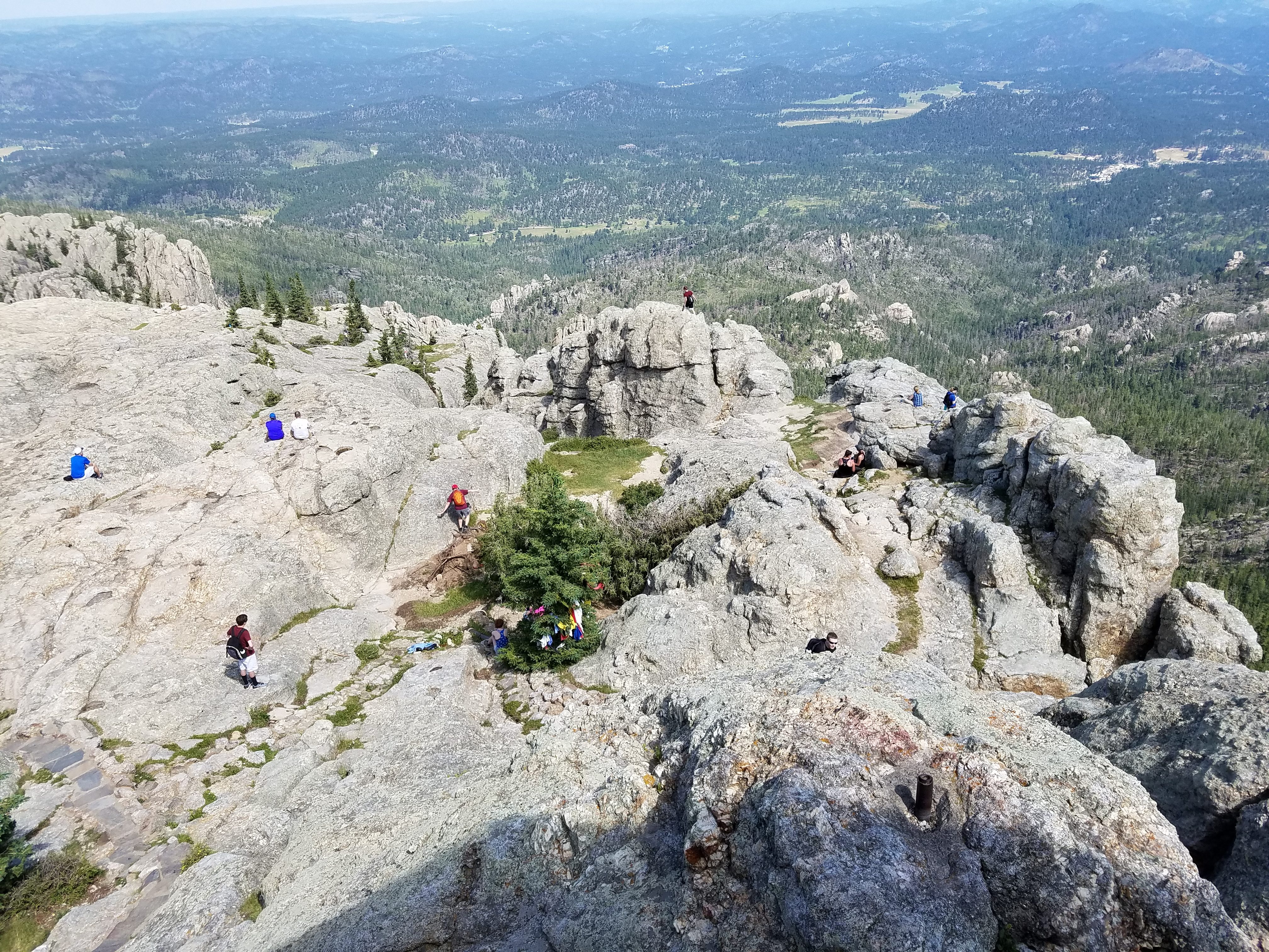
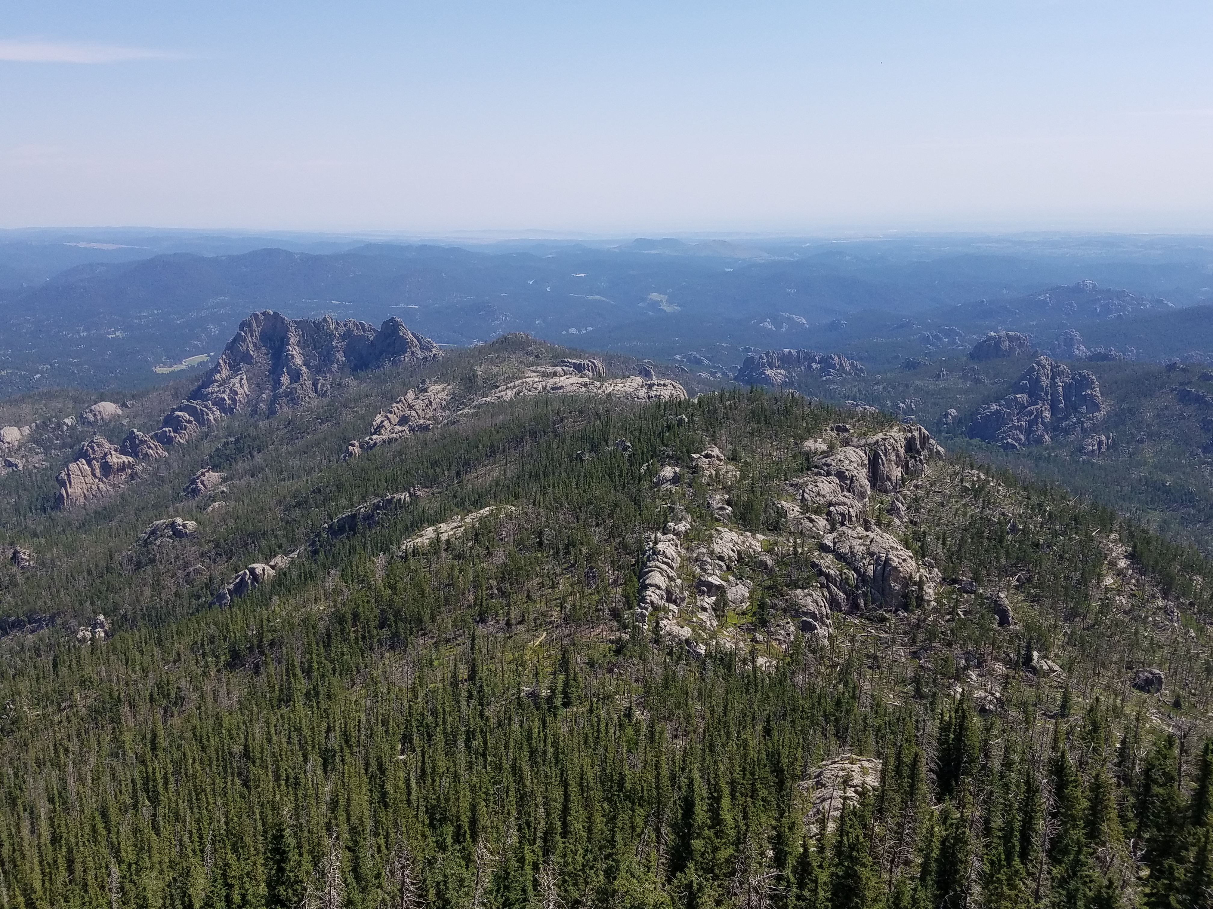
The views from the fire tower are amazing. Except for the people playing on the rocks way too close to the edge. Jane thinks that’s just not safe and didn’t stay long on the peak because she didn’t want to see anyone, especially Dave, fall off.

2 Comments
susan · July 24, 2017 at 1:53 pm
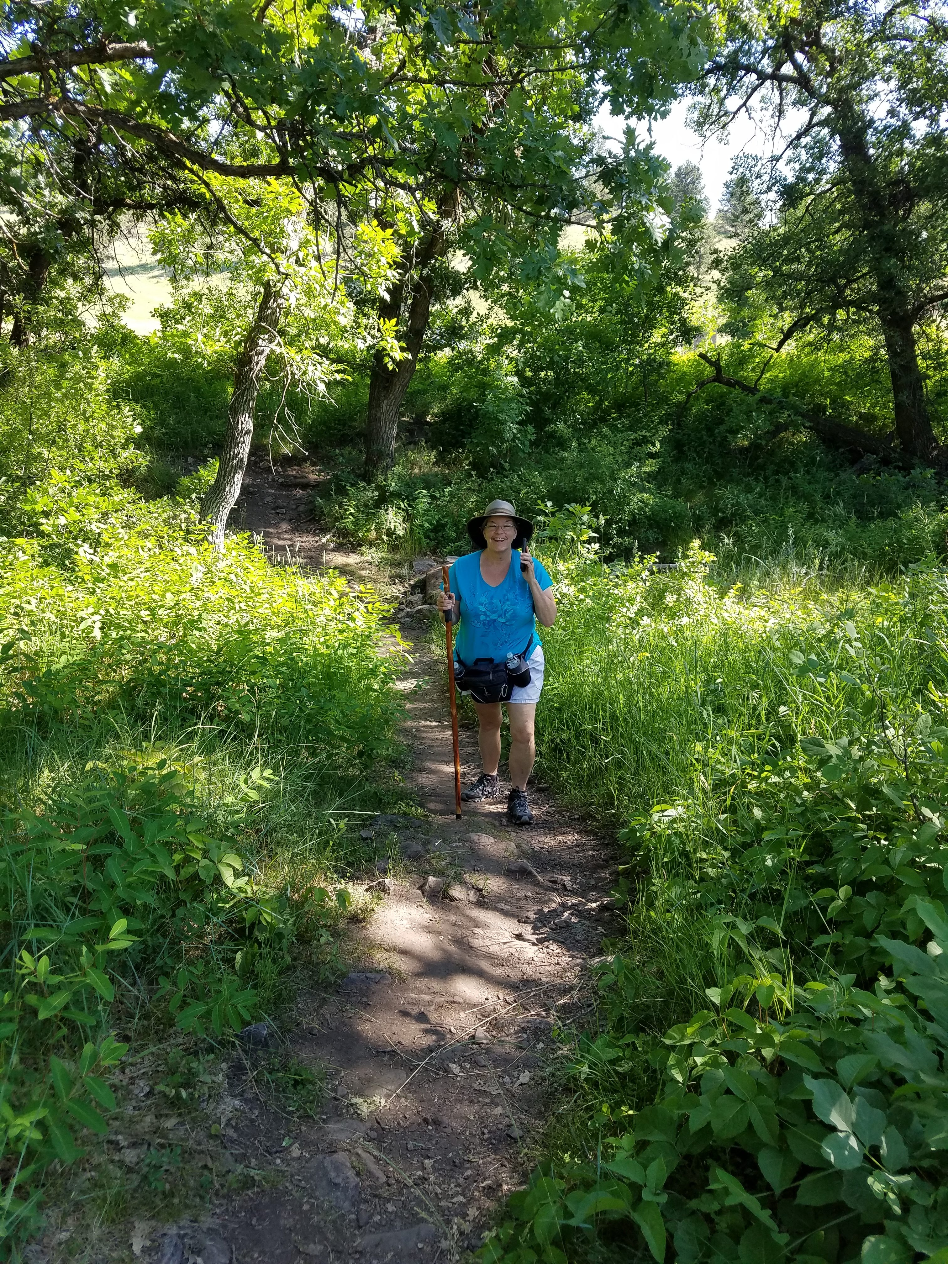
Jane it is all perspective, they are probably not that close to the edge. Dave do you like your walking stick? I think I need one. A light one!!!
Jane Appel · July 24, 2017 at 10:37 pm
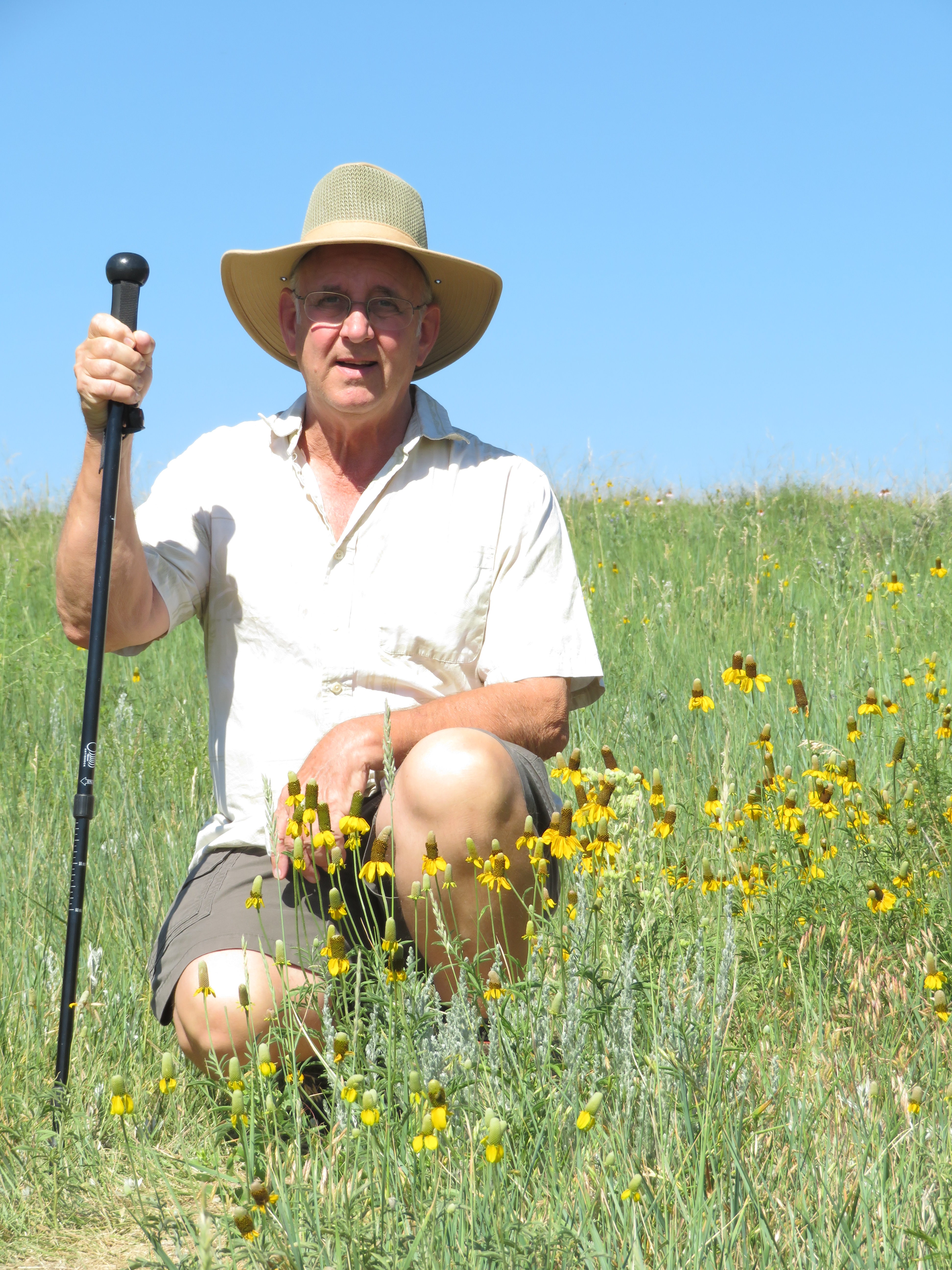
You are right about perspective, Susan. My perspective, since fear of heights is my biggest fear, is that everybody’s going to fall!
Dave and I are both using walking sticks any time the the path is uneven and elevated. I find it steadying and a good way to take some pressure off my knees. Dave’s stick has a screw at the top so it can be used as a monopod. I just bought a pair of sticks–I’m told they’re more effective than one–but haven’t tried them out yet. They are lightweight and were reasonably priced. Will keep you posted.