August 25 – September 1, 2021
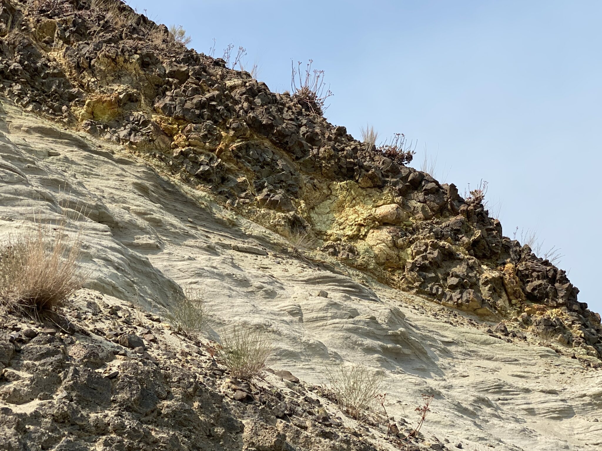
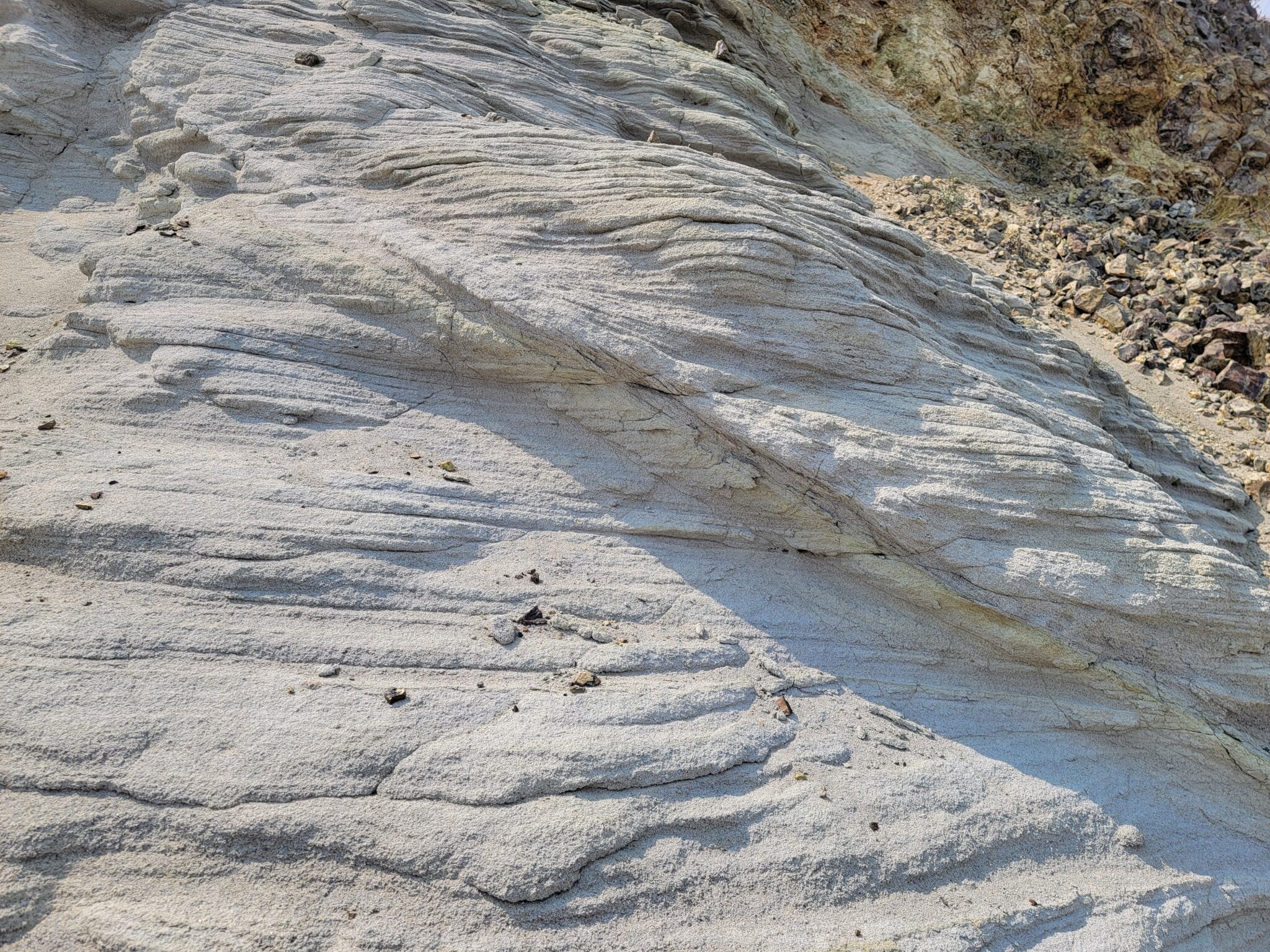
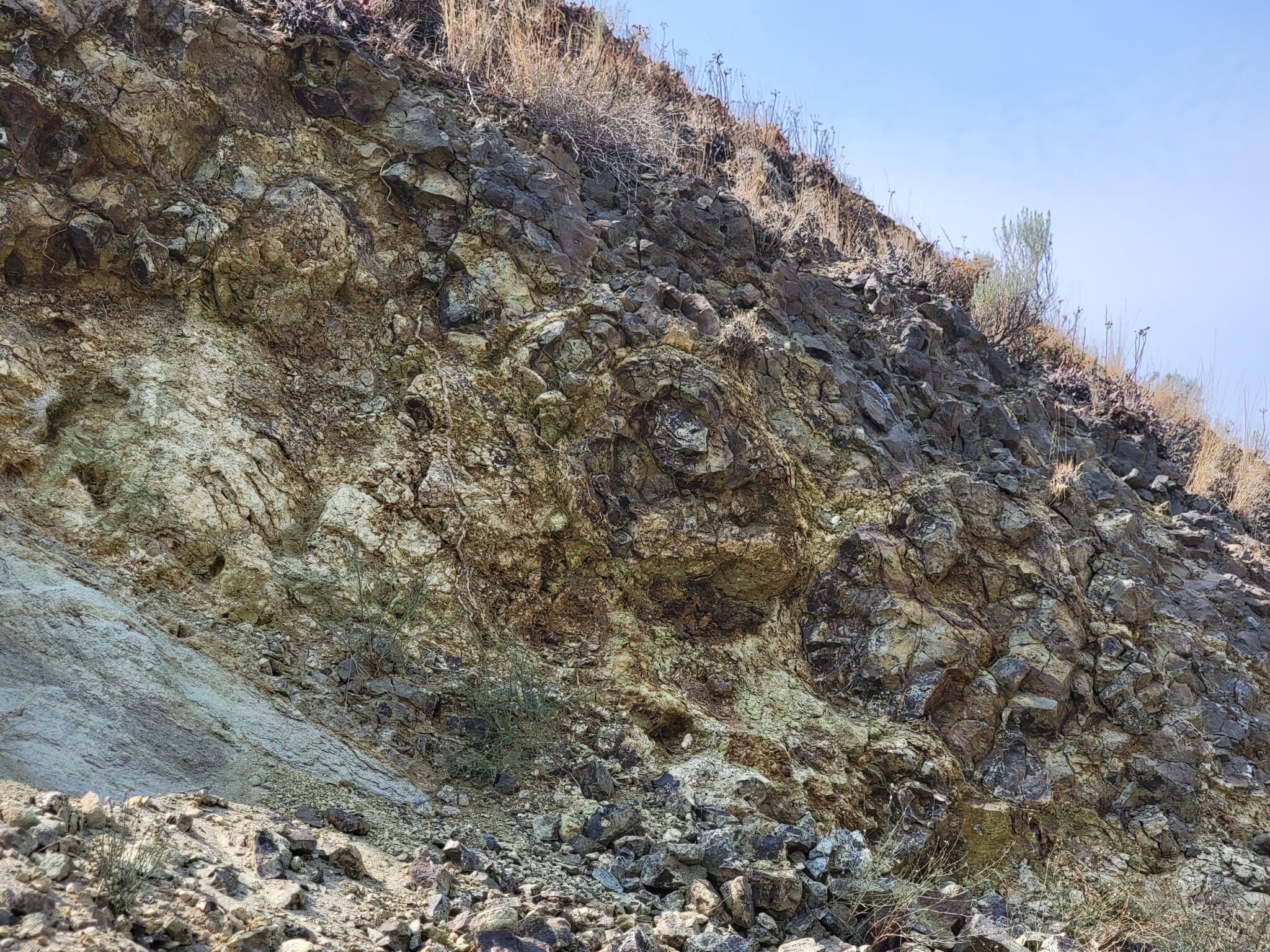
Highway rest areas are good places to switch drivers AND often have geocaches–sometimes interesting ones. The earth cache at Manastash Vista on I-82 on our way from Wenatchee to Randle featured a nice sandstone formation and basalt pillows.
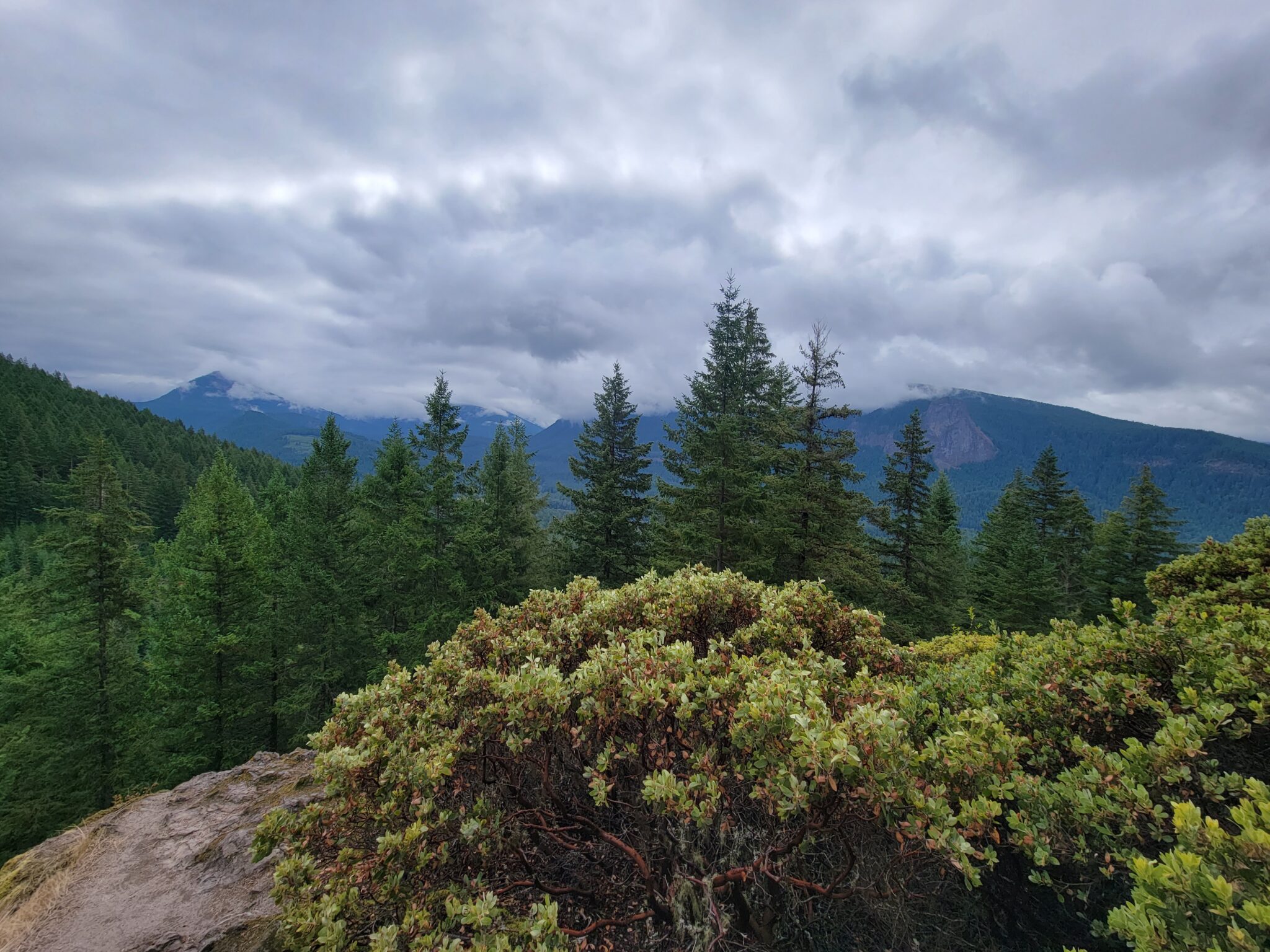
Randle, Washington is near the center of a triangle formed by Mt. St. Helens, Mt. Rainier, and Mt. Adams. It’s located in the three-mile wide Big Bottom Valley formed by the Cowlitz River. The post office there was established in 1886 and was named for a justice of the peace. It has about 2,000 people.
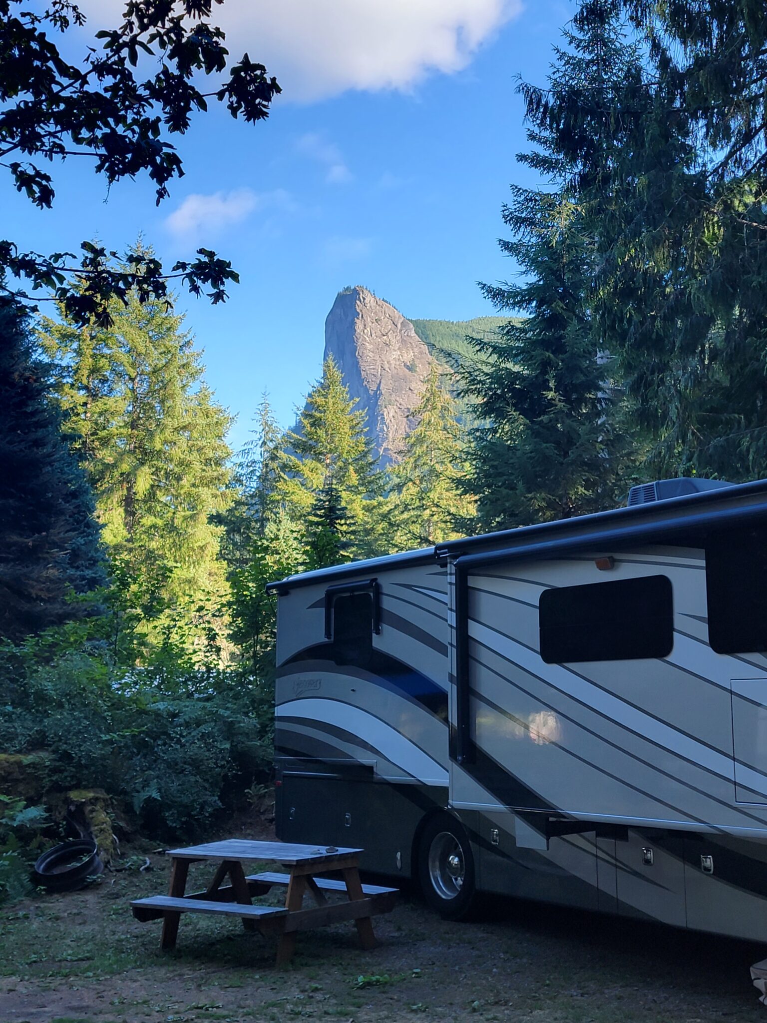
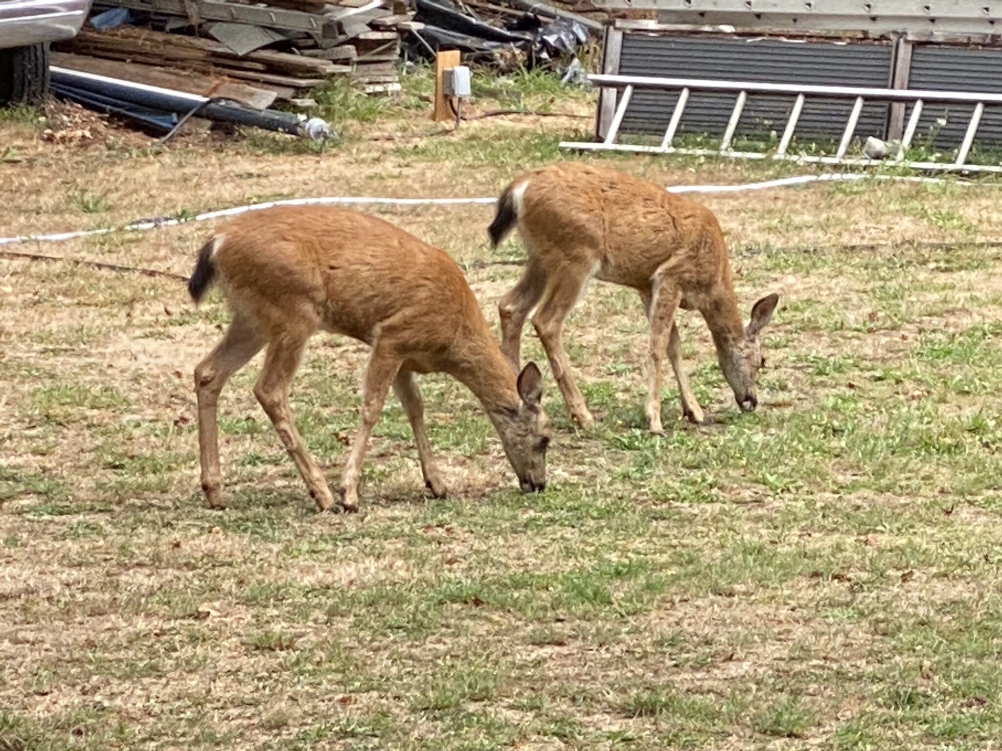
Our campground in Randle was . . . interesting. Tower Rock U-Fish RV Park was 13 miles outside of Randall, had no cellular service or internet access, and hadn’t stocked its fishing pond in two years. We adjusted to being off the grid and loved being deep in the woods. The preferred road to Mt. St. Helens used to run near the campground and we were told that a U.S. president frequented a lodge adjacent to the campground (our source didn’t know which president). A new highway to Mt. St. Helens has been built, the lodge burned down, and current planning laws have stymied the resurrection of a gas station and store next to the campground.
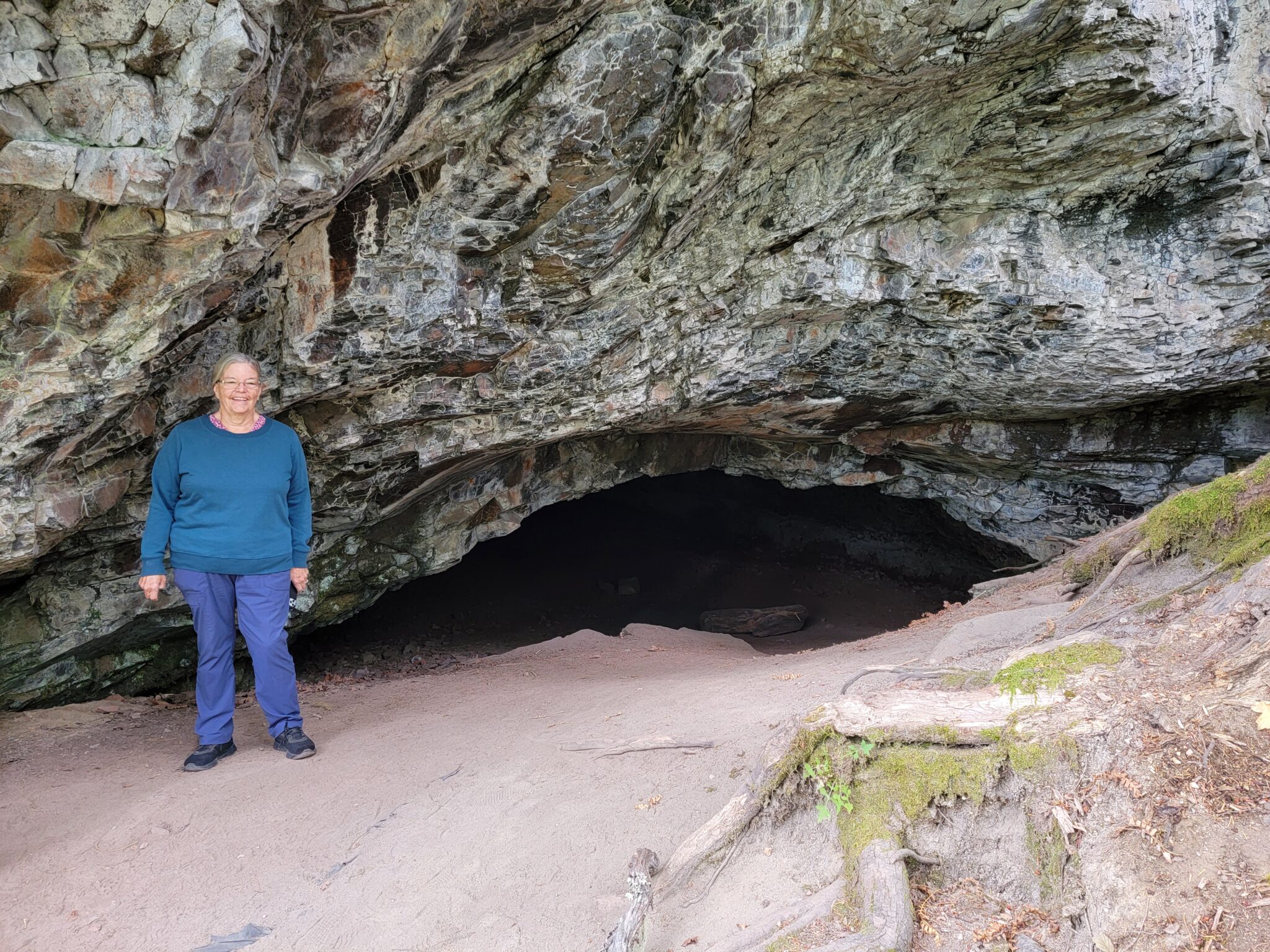
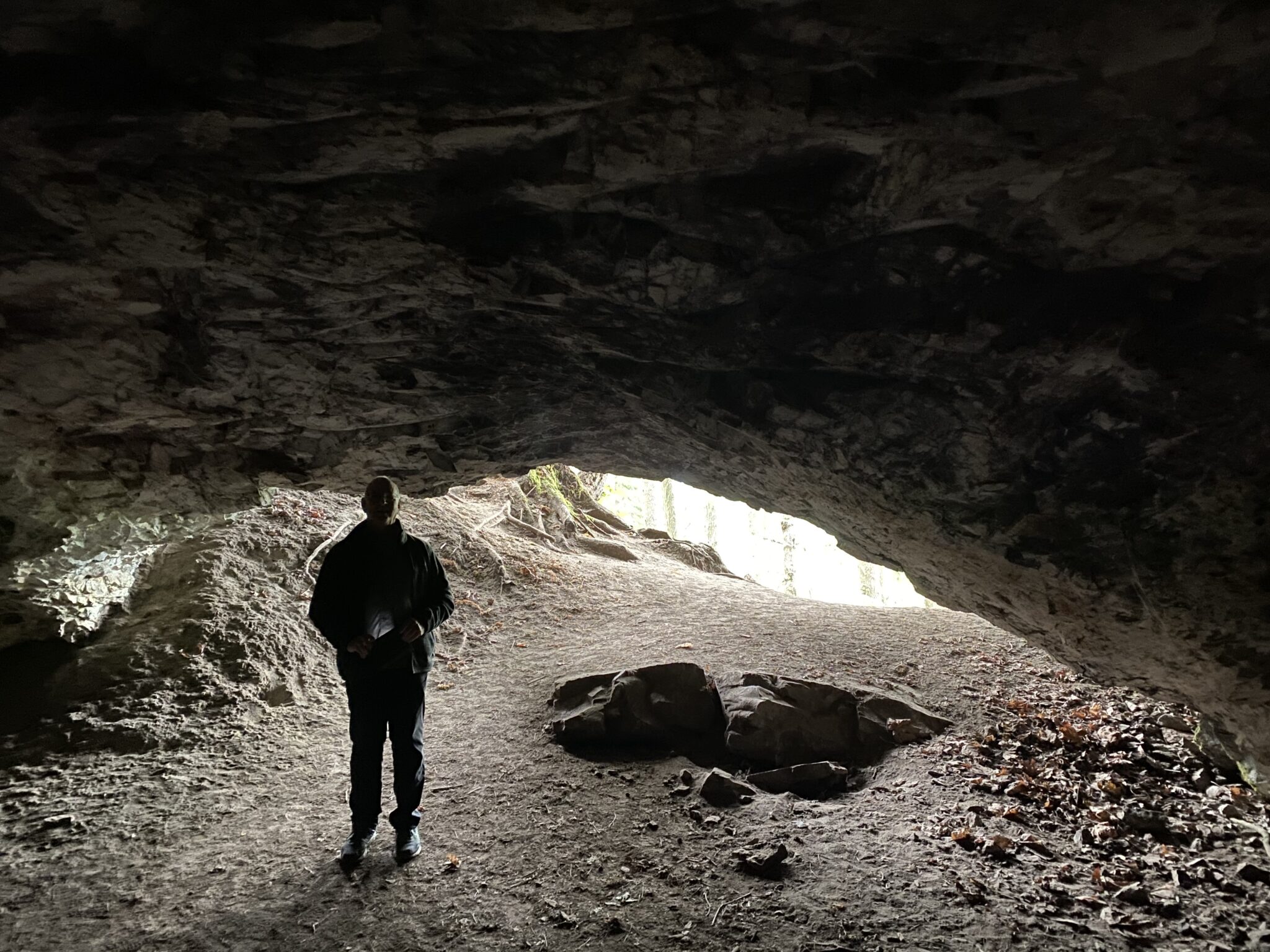
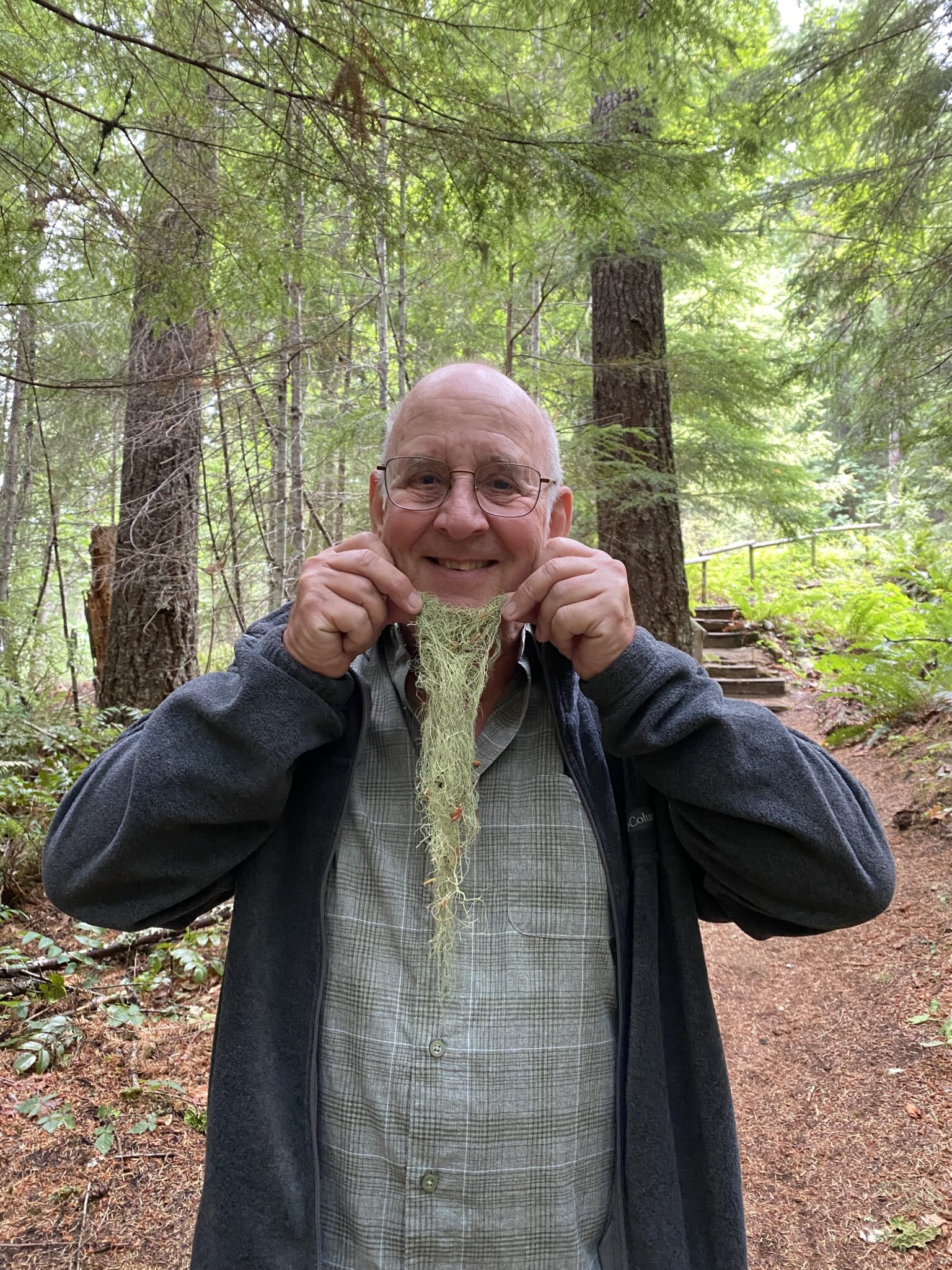
We visited nearby (Really! Only about four miles driving.) Layser Cave.
Hopkins Creek Falls is located about five miles east of Randle.
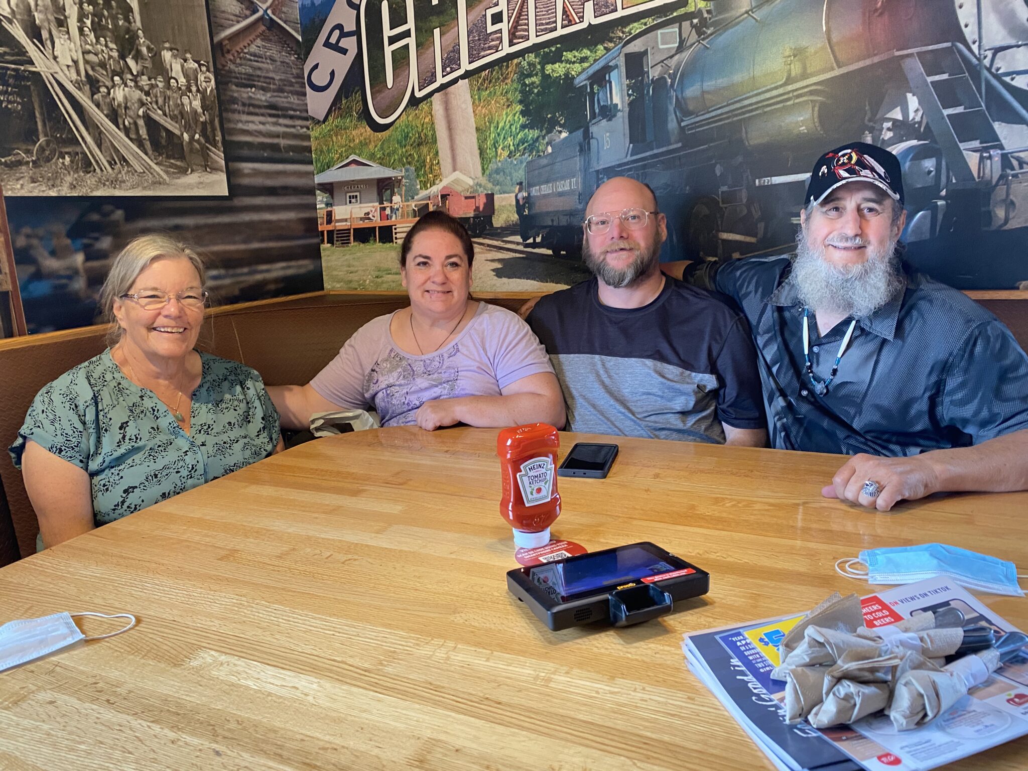
The memorial service for Jane’s cousin Donna Daniel Wortiska was held a year ago. Donna’s family lives near Pullyap so we met in Chehalis for a nice lunch and a stroll through family photographs.
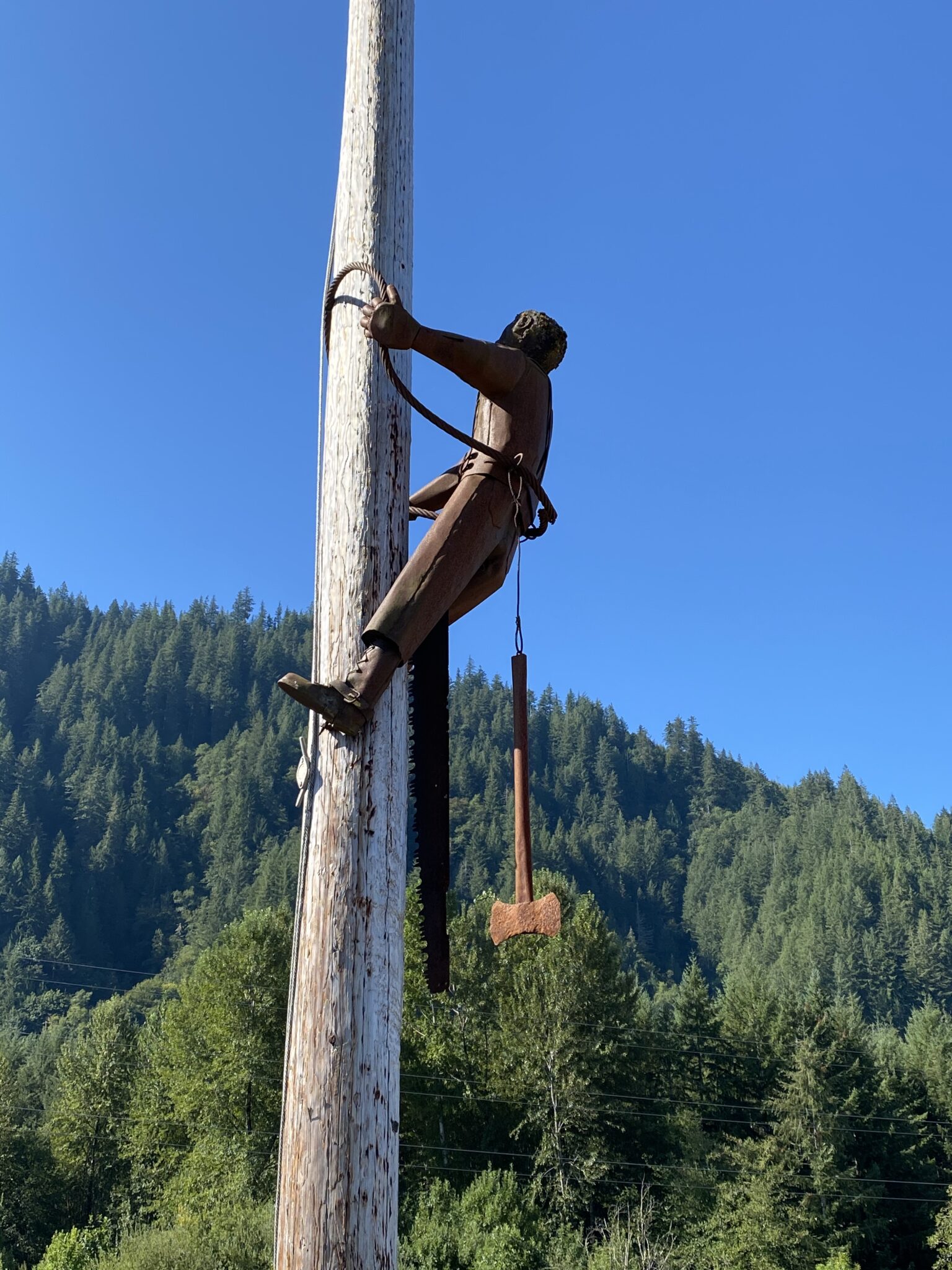
Morton, Washington is about 15 miles west of Randle. It is home to a nice memorial to men and women who gave their lives in support of the logging communities in the county.
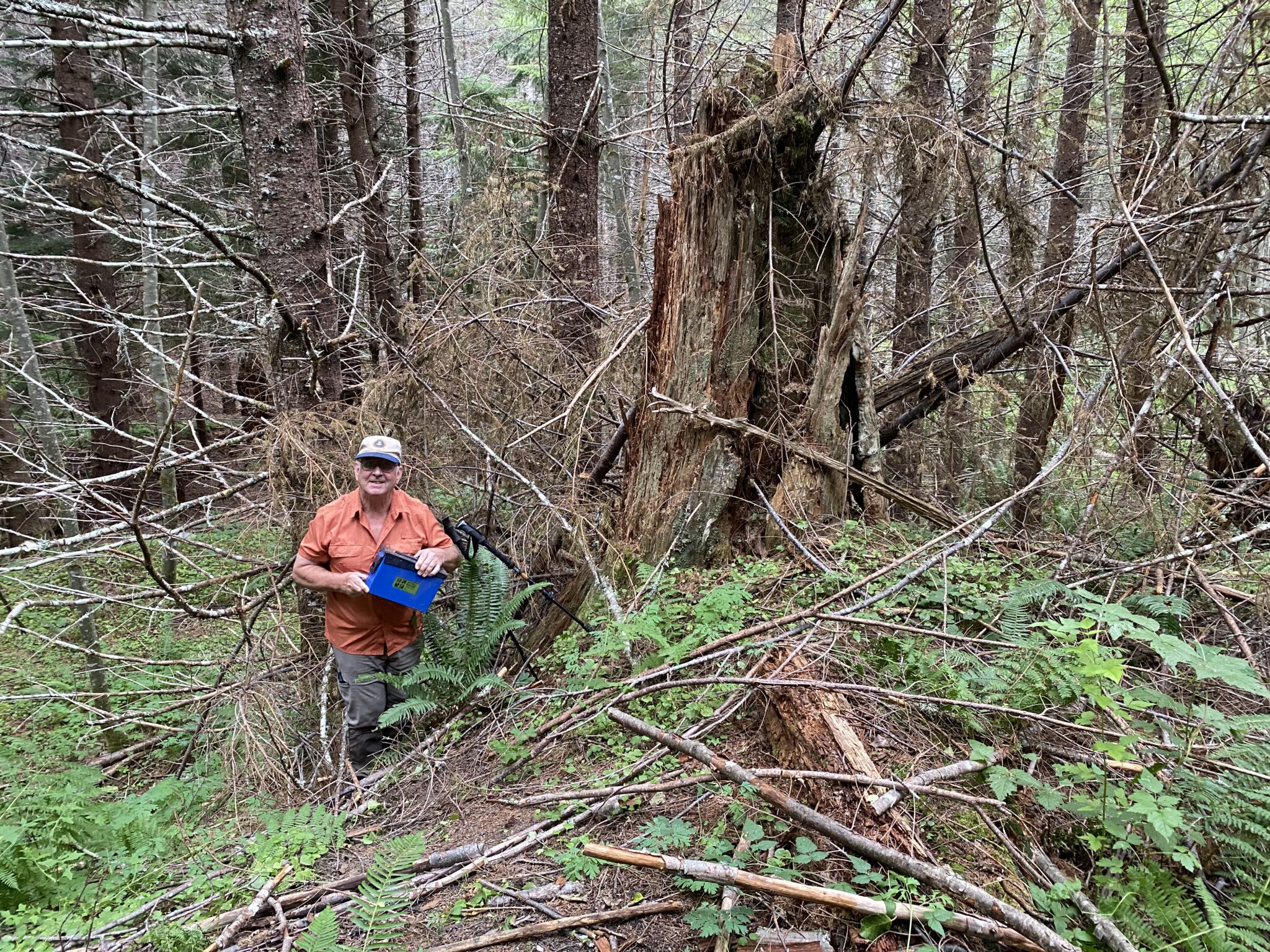
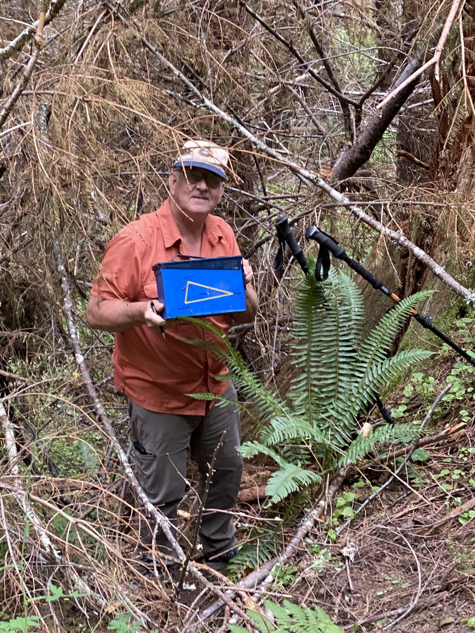
We discovered that “Shelrik’s Center of the Triad Challenge” was only about 10 miles (as the crow flies) from our campground. The geocache in the approximate geographic center of three revered caches which one must have found in order to claim the Triad cache: The APE cache (found when we were in Wenatchee in August 2021), the Original Stash (found when we were in Goldendale in July 2021), and the cache at Geocache’s (Groundspeak’s) headquarters (found when we visited Seattle in 2018). The drive to the Triad cache took over an hour and a half, mostly on forest roads–about half of which were paved.
1 Comment
Jay Waters · September 22, 2021 at 9:34 am
Well, Jane, it looks like you folks got back into some territory. If you were in my part of the country there wouldn’t be much difference in population and roads. Just instead of Aspen it would all be corn that surrounded you. You guys take care, and a great big Happy Birthday to you, and Many More! Jay