July 2, 2018
The Top of the World and Taylor Highways connect Dawson City, Yukon with Delta Junction, Alaska, the historic end of the Alaska Highway. They make up the Klondike Loop. The route saves the traveler from backtracking the 330 miles to Whitehorse. Besides, it’s beautiful.
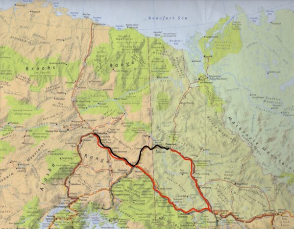
The black line shows route across Top of the World. The red line shows route backtracking through Whitehorse.
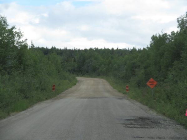
Our mile-by-mile guide uses the following words and phrases to describe our route: Dangerous in wet weather, steep grades, few guardrails, soft shoulders, loose gravel, washboard, potholes, abrupt edge, winding, dirt and gravel, rough road, hairpin curves, 1,000-foot drop-offs, and narrow road. “Do not risk a tip-over,” it says, “by placing your wheels too close to the right shoulder.” Good grief! We were careful.
The route starts by crossing the Yukon River on the north side of Dawson City on the George Black Ferry. Our wait for the seven-minute ride was about two hours, but we had expected that since a number of RVs were crossing and the ferry is relatively small.
The “highway” has a little (13 miles) pavement, some chip seal, and some dirt. We were warned: Rough road.
The Yukon River
Customs is 66 miles from Dawson City. It is an unusual facility in that it is shared by the U.S. and Canada. It’s open from May to September, weather permitting, and there is no telephone or other services there. We are always uncertain what food we will be allowed to bring with us across the border. Our navel oranges were confiscated–perhaps they threatened Alaska’s citrus industry.
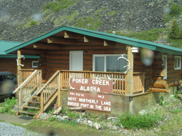
Residence at the U.S. border for the customs agents. This was formerly the U.S. Customs building itself.
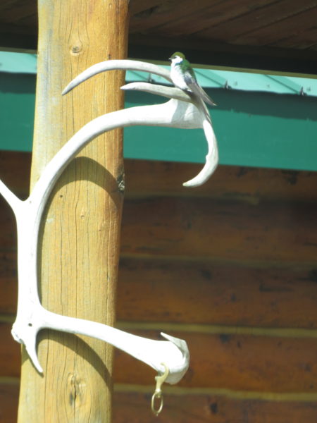
Resident at the U.S. border. We presume this bird is not an alien waiting to sneak in while the agent wasn’t looking.
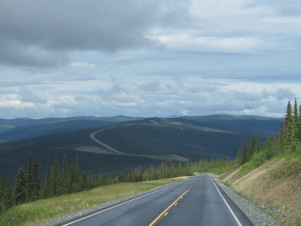
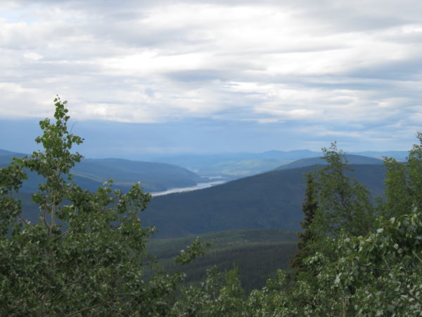
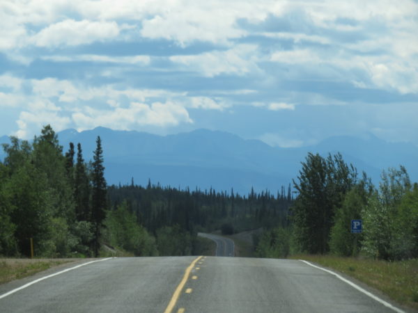
The winding road really does seem to be at the top of the world, even though the highest elevation is 4,515 feet.
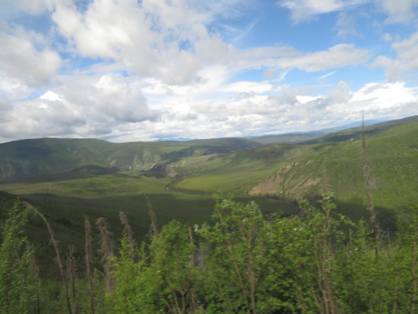
Our path was brightened by a bit of sunshine
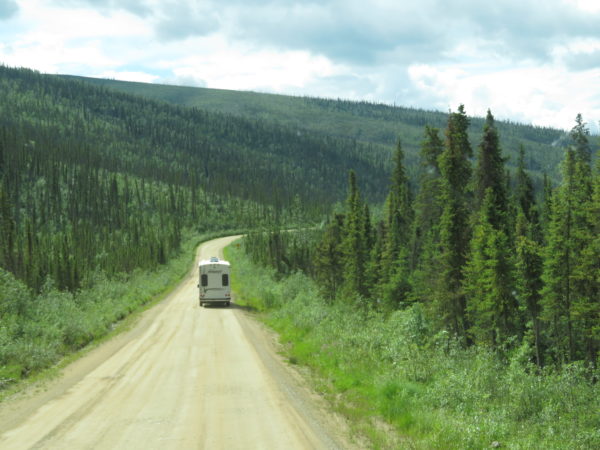
Following another RV let us see where the biggest bumps were.
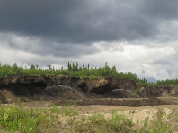
Active placer mining
Chicken, Alaska is 109 miles along the road. It was supposedly named by early miners who couldn’t spell ptarmigan. It has no water, sewer or electric service, but three businesses offer gas, food, gifts, and lodging using their own resources.
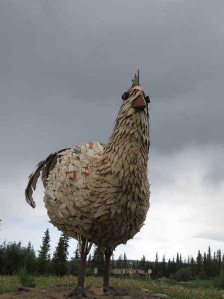
This 18×12′ chicken was constructed of recycled high school lockers from Homer, Alaska.
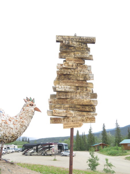
The builders of this signpost thoughtfully provided distances to a number of other related locations.
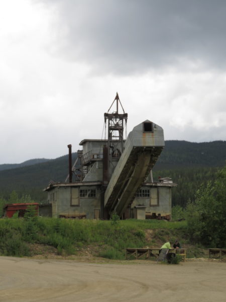
This gold dredge is available for tours. One can pan for gold here as well.
The pavement was bumpy but we were grateful for it along the Taylor Highway from Chicken to Tok.
Our short-cut trip from Dawson City to Tok, Alaska took about eight hours.
3 Comments
Jay Waters · August 19, 2018 at 7:51 pm
What a trip!
Laura · August 20, 2018 at 5:45 am
Loved the video clips. Glad it wasn’t raging waters!😂
Susan · August 20, 2018 at 8:08 am
Long wait for a short ride. Looks quite beautiful there.