July 18-21, 2018
The drive from Kenai to Homer along the western shore of the Kenai Peninsula was spectacular.
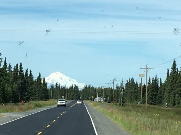
Our view of the stratovolcano Mount Redoubt through the bug splattered windshield as we left Kenai.
Mount Redoubt, 10,115 feet
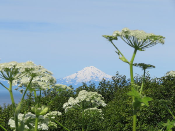
Mount Iliamna, 10,016 feet
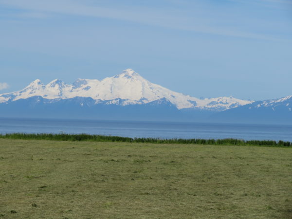
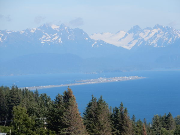
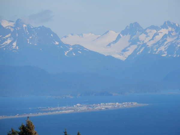
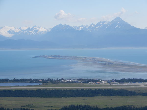
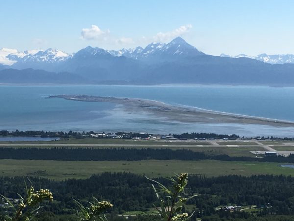
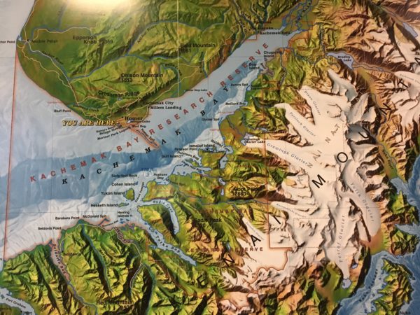
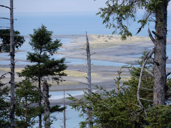
Kachemak Bay and the Kenai Mountains
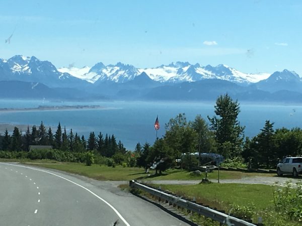
Homer Spit in Kachemak Bay
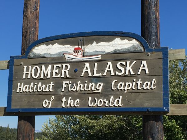
Homer is located on the southwestern Kenai Peninsula on the north shore of Kachemak Bay, 226 miles south of Anchorage. It has a population of about 5000. Homer was named for Homer Pennock, a gold mining promoter who arrived in 1896 with a crew of 50. (Gold mining proved to be unprofitable in the area.) Coal was discovered in the 1890’s and was mined on a small scale until World War II. There is still an estimated 400 million tons of coal in the area and coal litters the beach as coal seams in the cliffs erode into the Bay. Halibut and salmon sport fishing along with tourism and commercial fishing are the predominant industries. Homer’s distinguishing feature is the Homer Spit, a 4.5-mile long gravel bar that extends into the Bay, on which are located the Homer Harbor, numerous businesses and restaurants, and the RV park where we camped. The gravel bar was left behind by the glacier that covered the area. The Homer Spit sank about 6 feet during the Alaska Good Friday Earthquake and many buildings had to be moved.
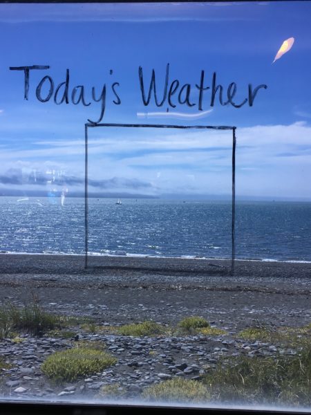
We found this weather report in a shop on the Homer Spit. Absolutely perfect! The Spit reminded us of Key West–friendly, quirky and fun.
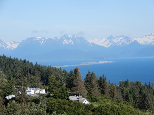
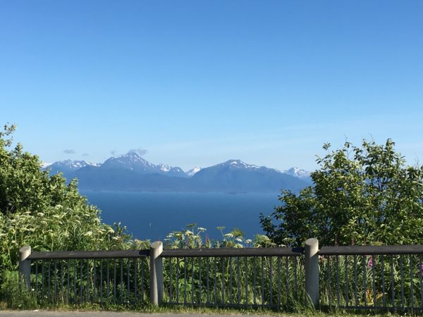
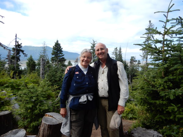
Stunning views, wonderful wildflowers, and beds planted by volunteers made Baycrest Lookout Park a great introduction to Homer.
Businesses on the Homer Spit
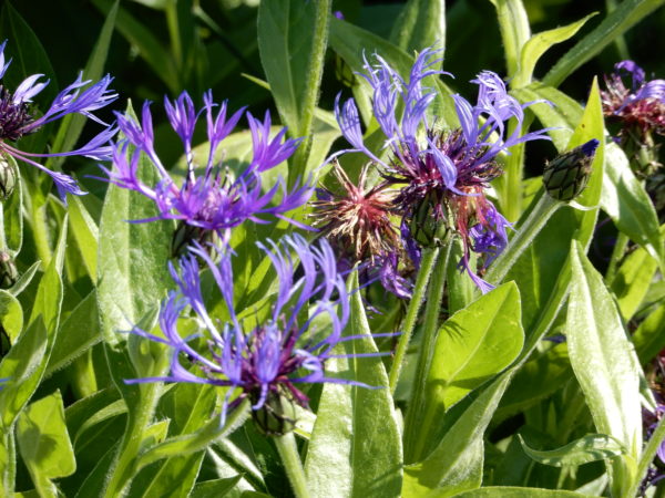
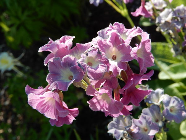
Perennial Cornflower
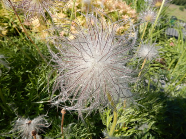
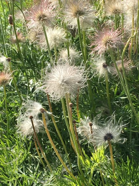
Pasqueflower
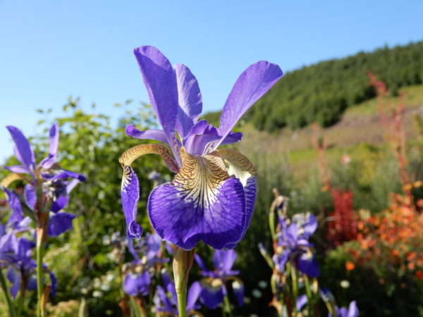
Iris
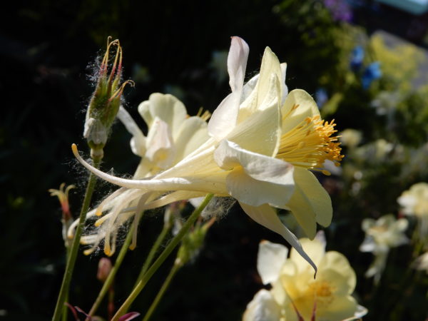
Columbine
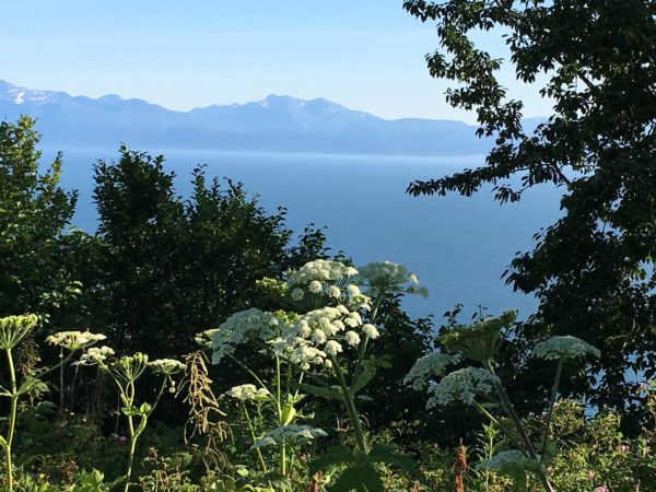
Cow parsnip in the foreground
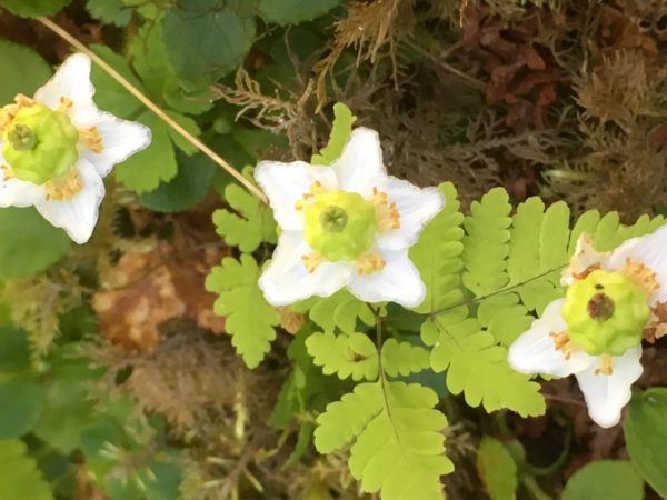
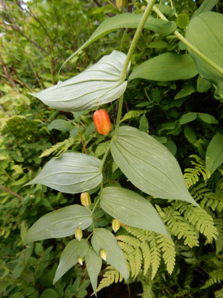
We haven’t found the name for this flower but we liked the berry-like center.
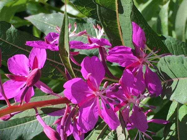
We’re still looking for the name of this one.
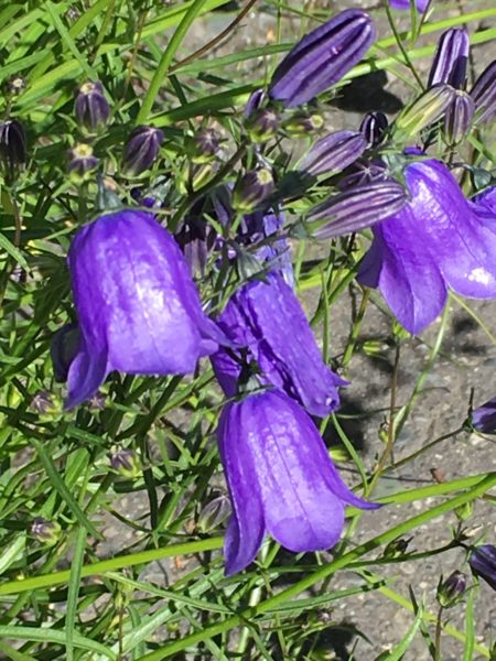
Alpine harebells
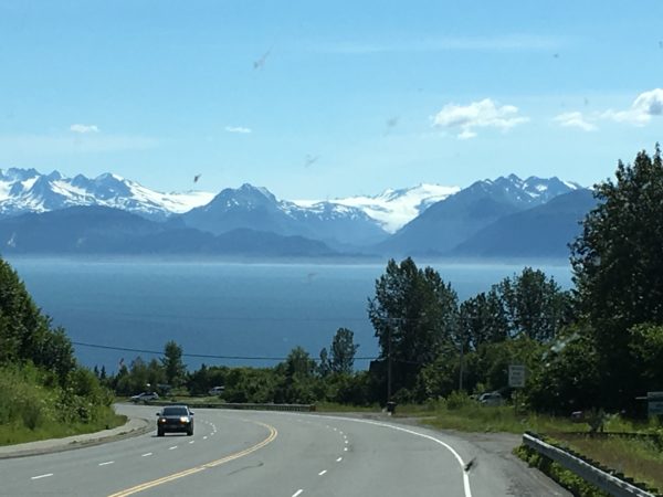
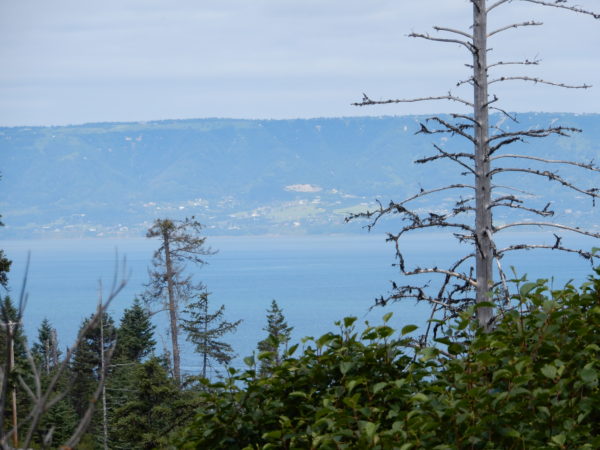
The view from Skyline Drive and East Hill Drive was great.
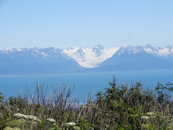
Glaciers flowing down to the sea.
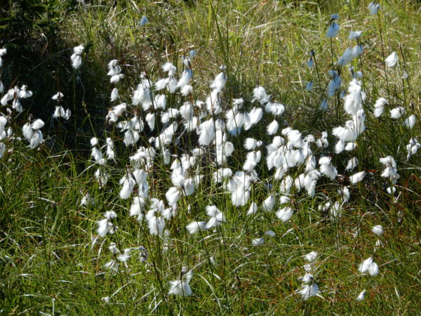
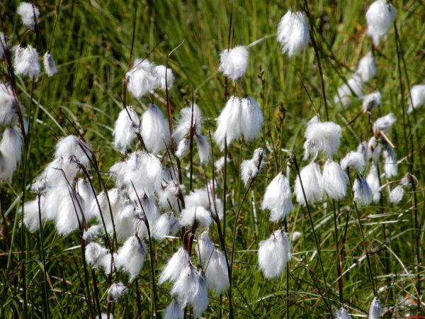
Cotton grass
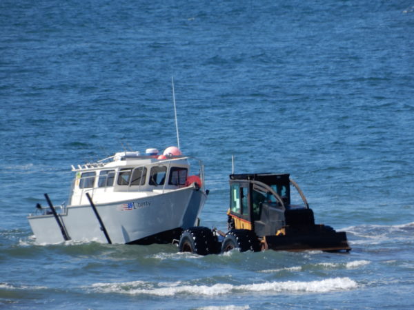
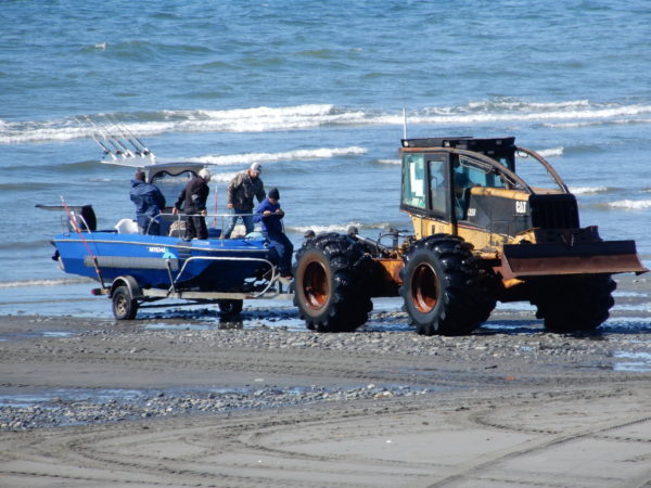
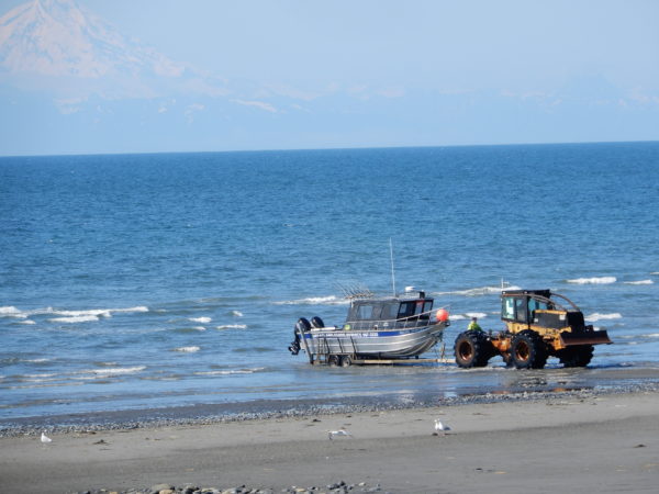
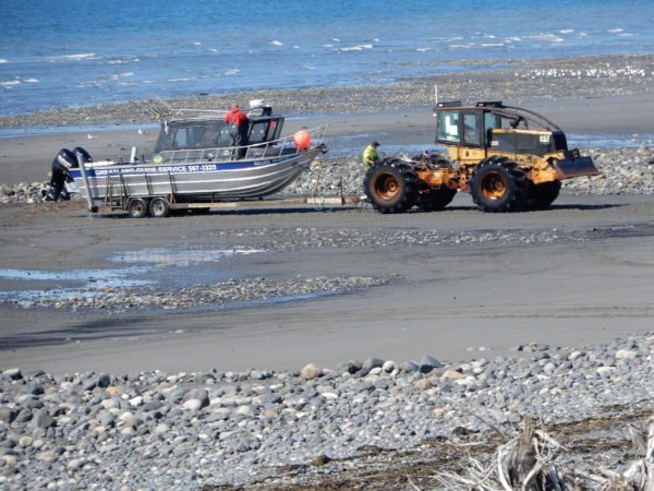
Anchor Point is a small town a few miles north of Homer that we visited for its abundance of bald eagles. Anchor Point was originally named Laida by Captain James Cook in 1778 when he was looking for the Northwest Passage. It was later named Anchor Point by early homesteaders to commemorate Captain Cook’s loss of an anchor off the point. Anchor Point is the home of the “Most Westerly Highway in North America”. It is also known for excellent fishing opportunities in the Anchor River and the Cook Inlet. Saltwater fishermen access the water using a tractor launch from the beach, something we had never seen before.
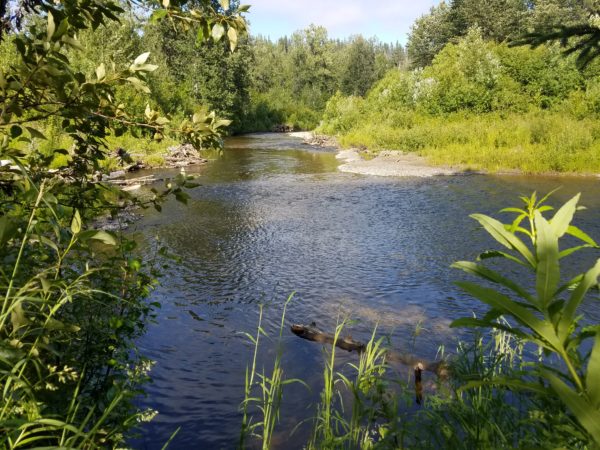
Anchor River
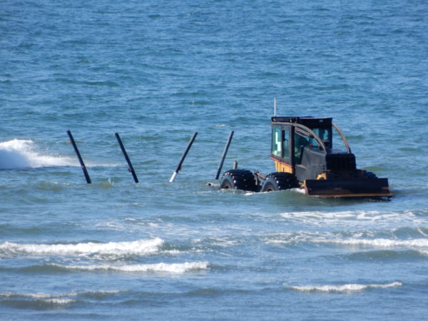
Tractor used to launch and retrieve boats
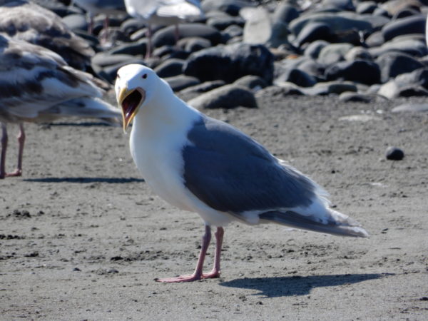
Maybe this gull thought the tractors were funny.
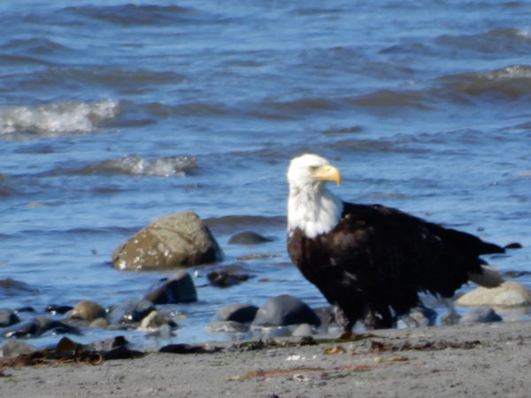
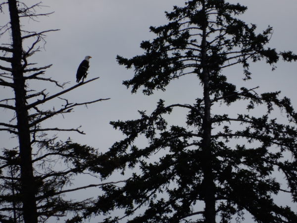
Bald eagles wait for scraps from the fishermen.
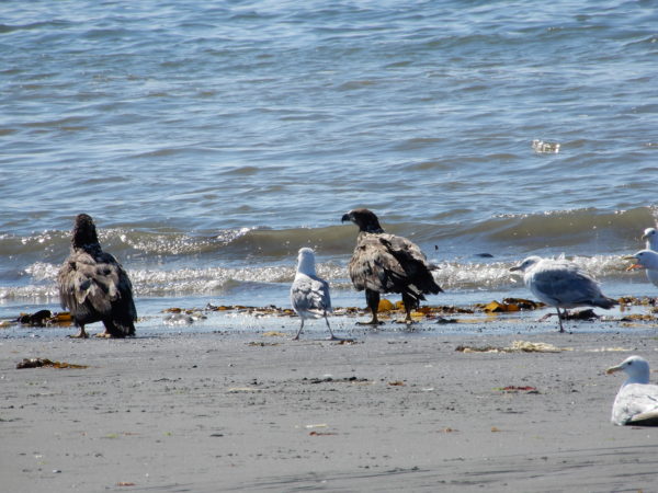
Two juvenile bald eagles
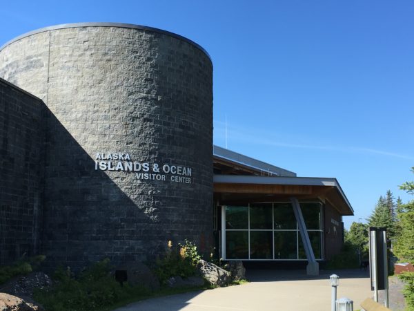
The Alaska Islands and Ocean Visitor Center in Homer allows visitors to “virtually visit” the Alaska Maritime National Wildlife Refuge which encompasses the remote Alaska coastline through interactive exhibits. We went on a naturalist-led walk from the Center and learned about the flora and fauna of the area.
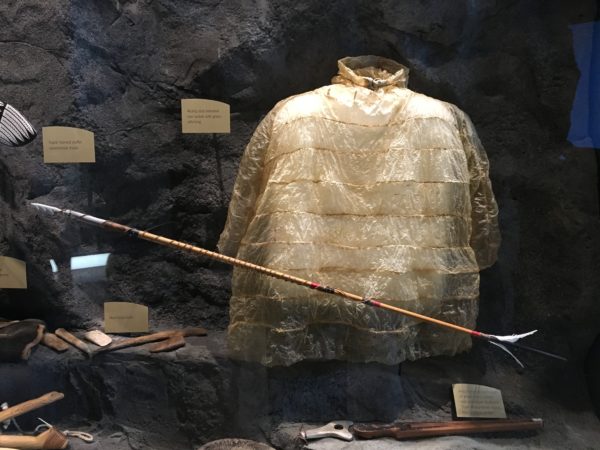
This waterproof native parka was made by stitching together seal intestines.
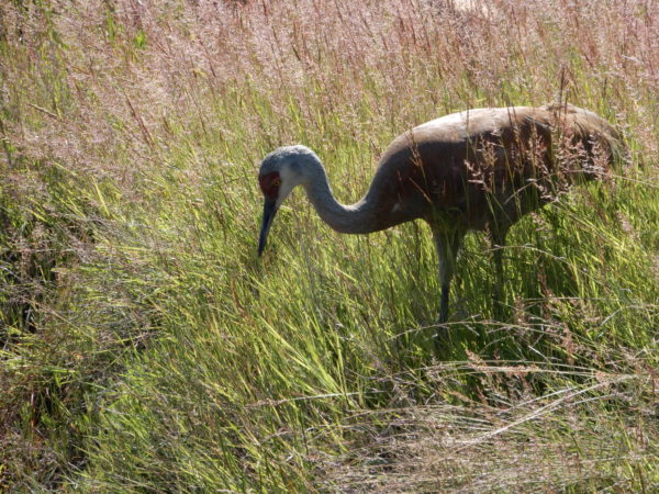
Sandhill crane
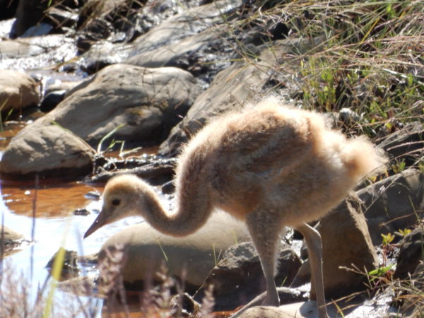
Sandhill chicks are called colts.
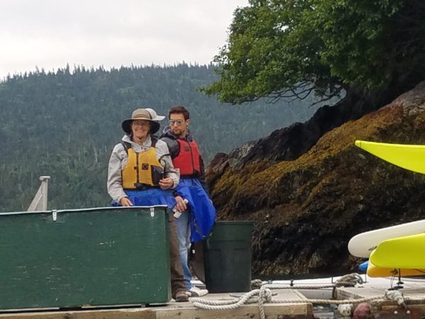
The Center for Alaska Coastal Studies in Homer is an outdoor education nonprofit organization that offers tours of its three educational facilities. We toured their Peterson Bay facility on the south side of Kachemak Bay with one of their young interns and combined that with a kayak tour of the Bay and Gull Island.
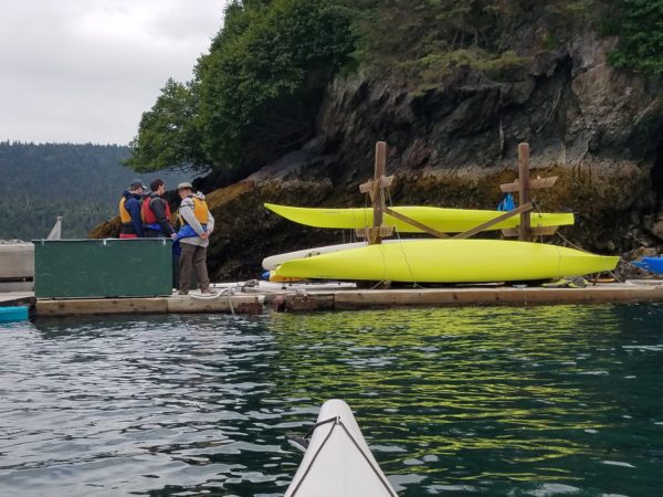
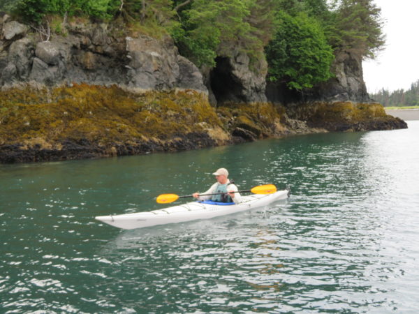
Jane is waiting to board a kayak. Dave took the picture from his kayak.
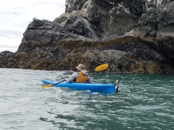
Jane heading out to sea
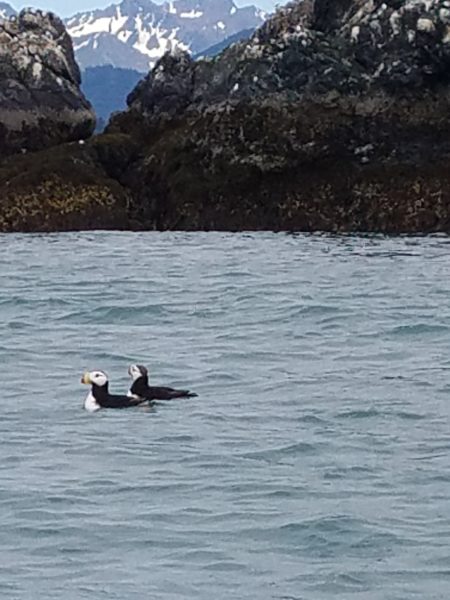
Horned Puffins near Gull Island
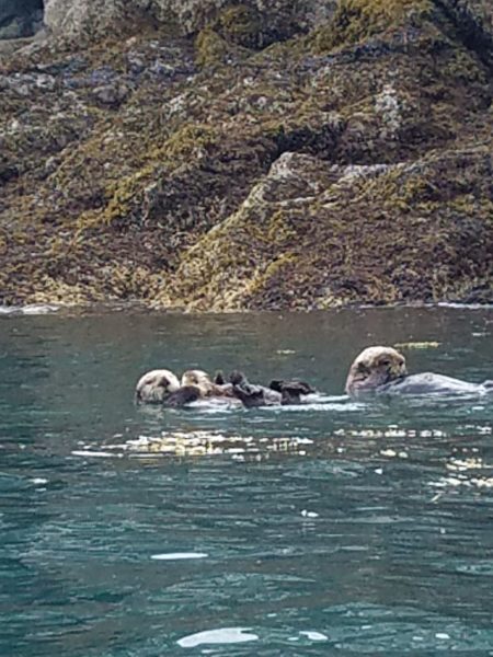
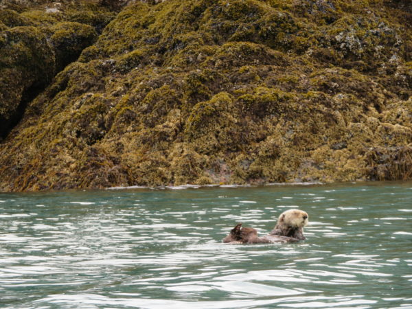
A family of Sea Otters near Gull Island. Mom has a pup on her chest.
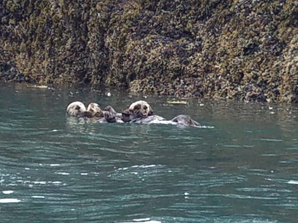
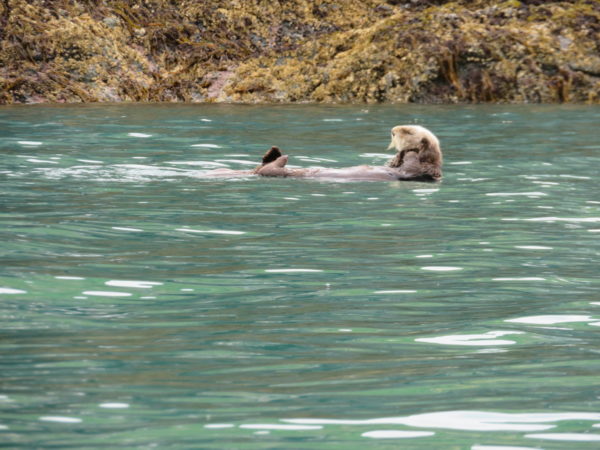
The otters spend a great deal of time floating on their backs surveying their surroundings.
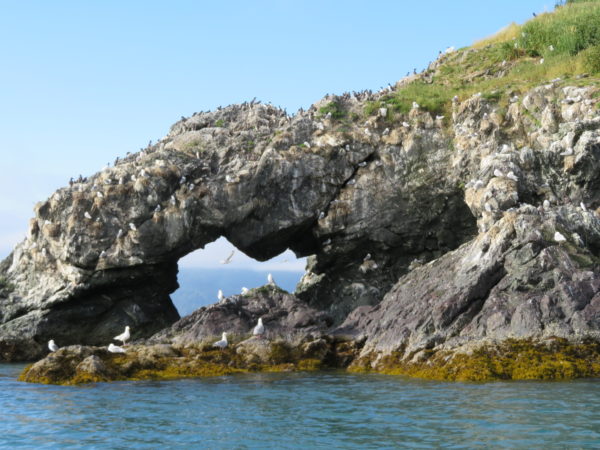
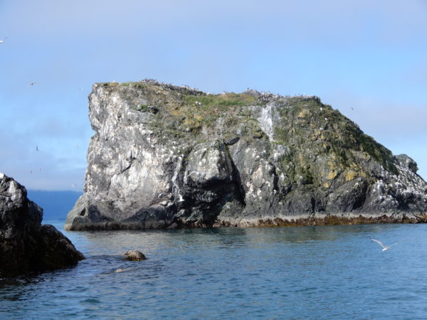
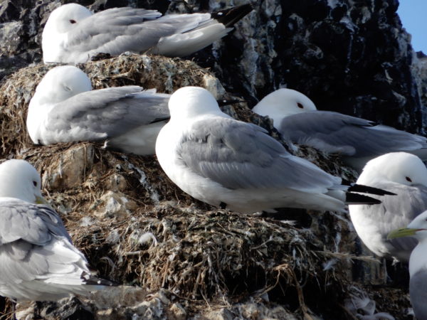
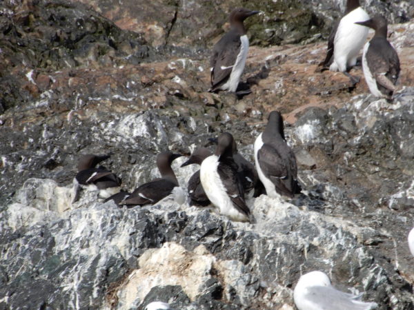
Common murres
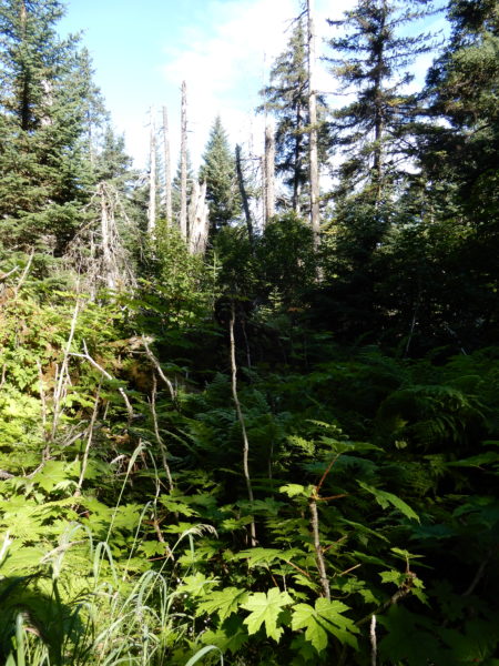
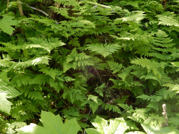
Lush forest around the Center for Alaska Coastal Studies
Interesting moss on a stump
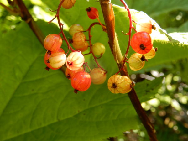
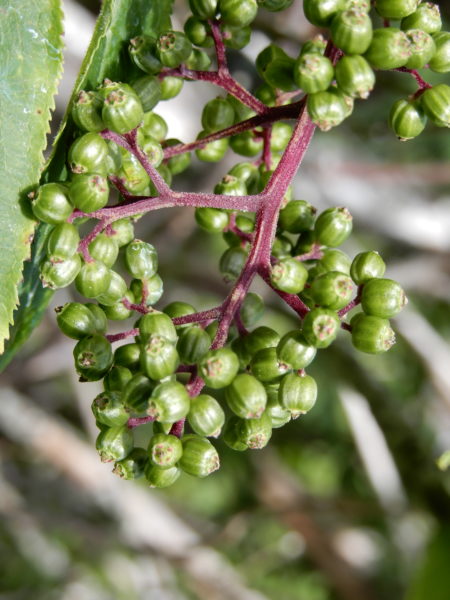
Currants (we think)
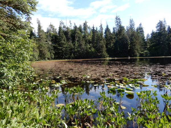
Lost Lake
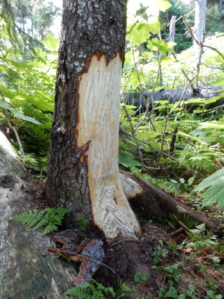
This tree was recently clawed and chewed on by a bear.
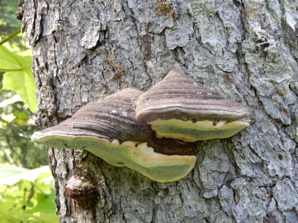
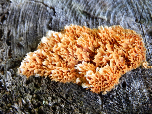
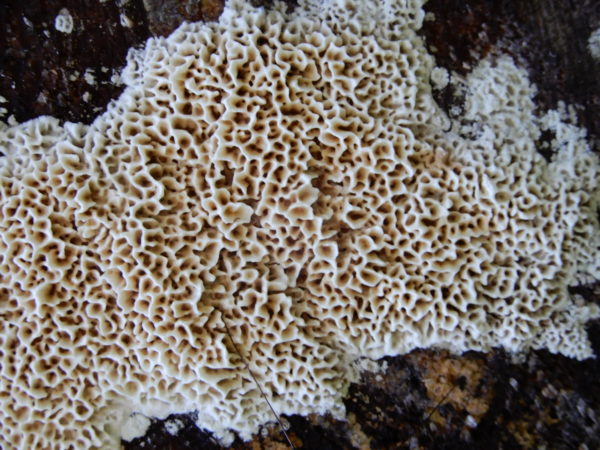
Pretty shelf fungus
An unusual fungus that reminded us of coral
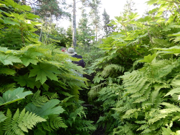
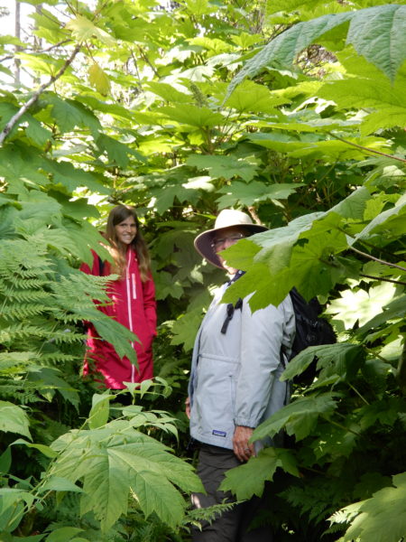
The rainforest growth was very dense. That’s Jane on the trail.
Our intern identifying the vegetation
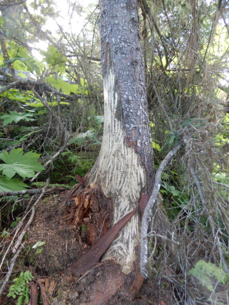
Another bear-clawed tree
Watermelon berry
View of Peterson Bay from the forest
Homer on the far side of the Bay
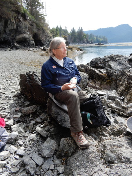
Time for a snack by the estuary
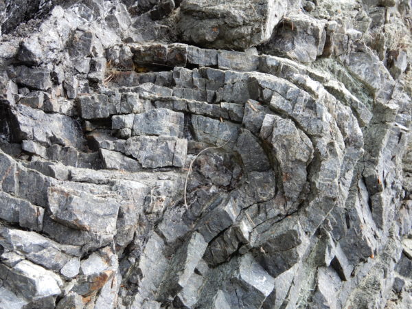
The cliffs are Radiolarian Chert that originally formed about 80 million years ago under the ocean near the equator. Continental drift transported the land to the north where it was pushed under the North American landmass, bending the sediments into crazy swirls and waves before it was uplifted to the surface.
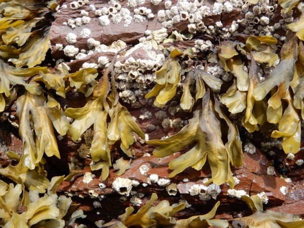
Kelp and barnacles
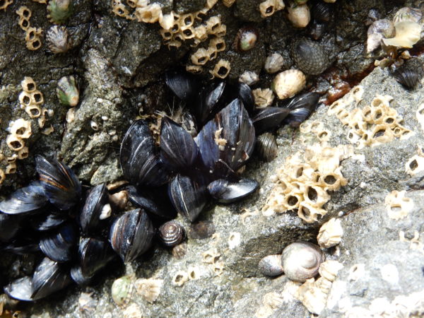
Mussels, snails, and chitons
3 Comments
Cindy Jeffes · September 12, 2018 at 8:26 pm
Amazing pics. Looks like a great time! So glad you were able to kayak too- looked beautiful.
Alice McGregor · September 12, 2018 at 10:13 pm
Fascinating! Love the flowers and the birds. Didn’t expect that many different colors and exotics so far north.
Esther McAfee · September 13, 2018 at 9:58 am
What an amazing adventure. We had a great time in Alaska, going overland by bus and train with a tour. We missed the whole are South of Anchorage. Maybe we need to go back again. Being able to do it on your own time to experience all that the area has to offer is a gift. The joys of camping. Have a good day.